Last Updated: 30th Apr 2026
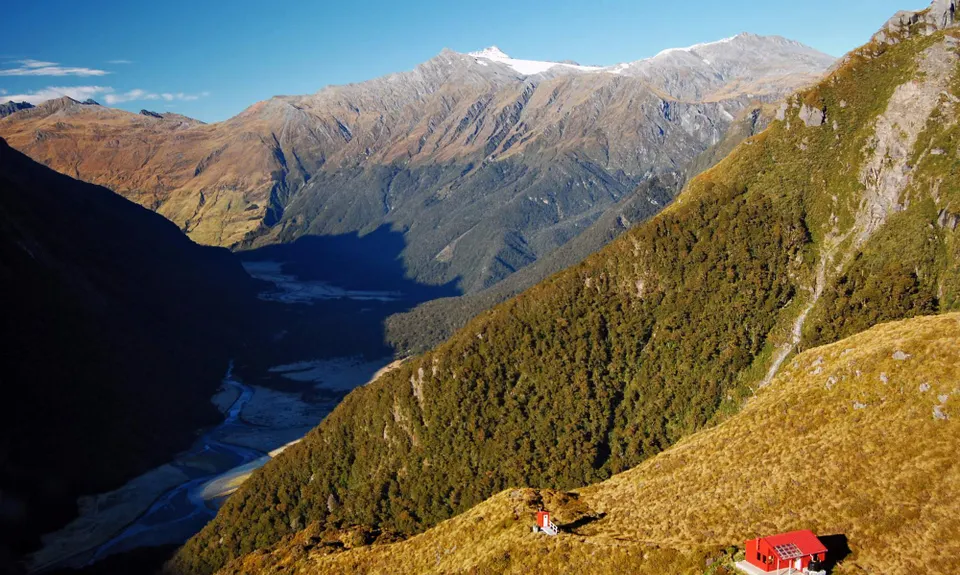
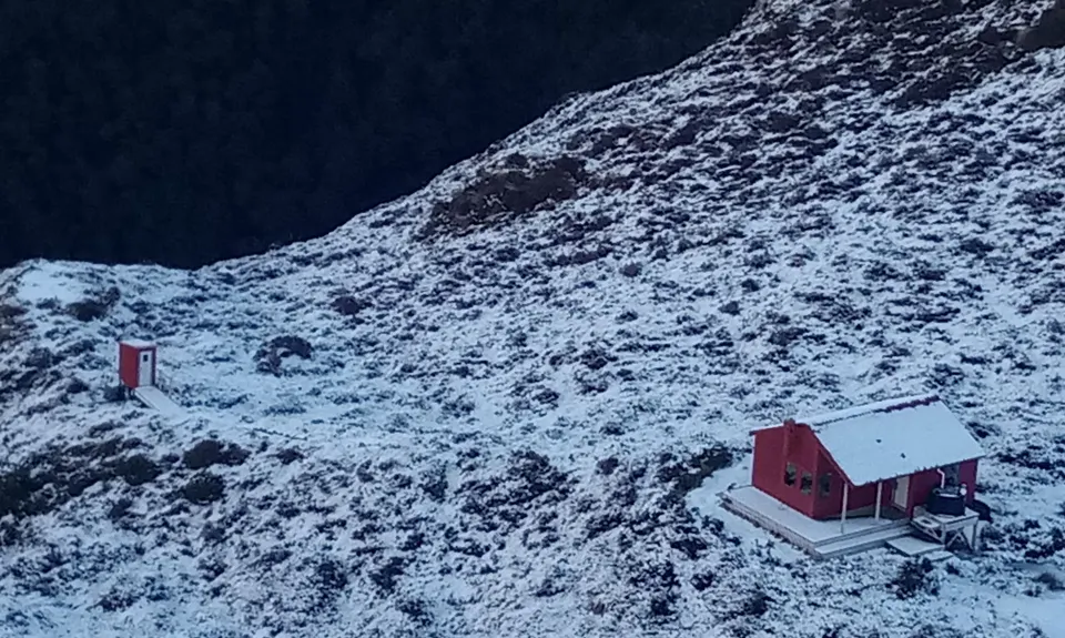
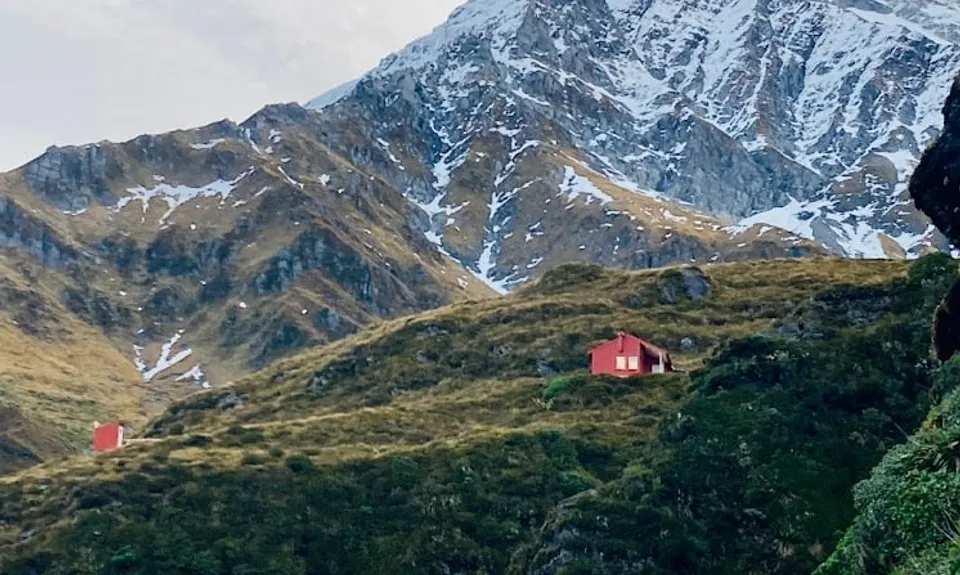
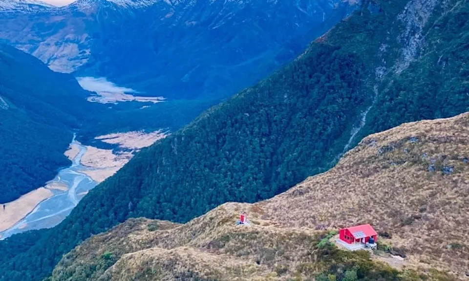
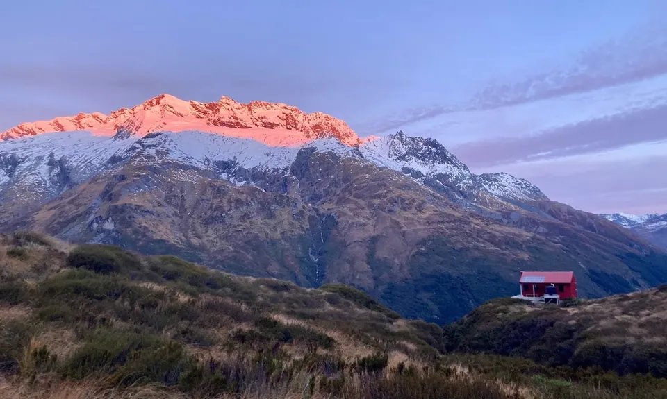
Liverpool Hut
Last Updated: 30th Apr 2026
Open
Grunt Factor: 38 ?
Gnarl Factor: 21 ?
33.0km
1270m
1270m
1150m
.jpg)
.jpg)
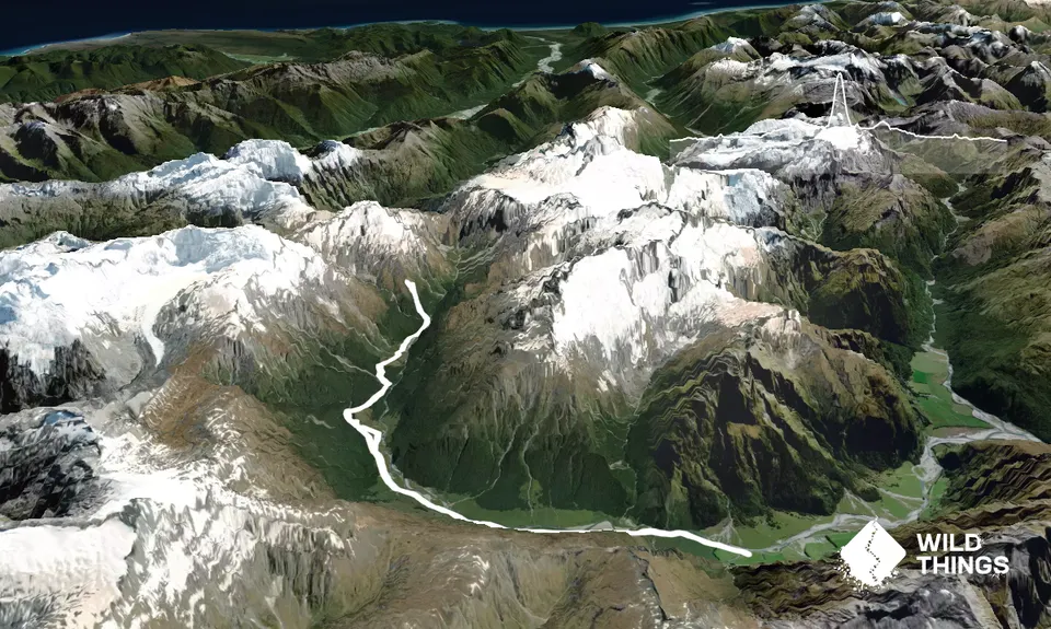
Trail Map
This Topo layer only covers NSW/ACT.
Switch to another map layer when viewing outside this area.
Switch to another map layer when viewing outside this area.


