Last Updated: 23rd May 2026
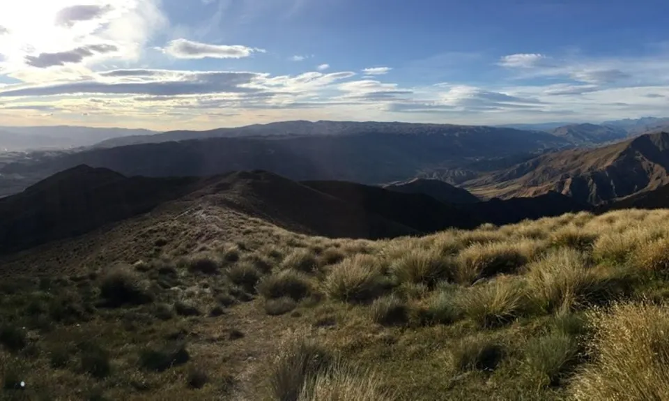
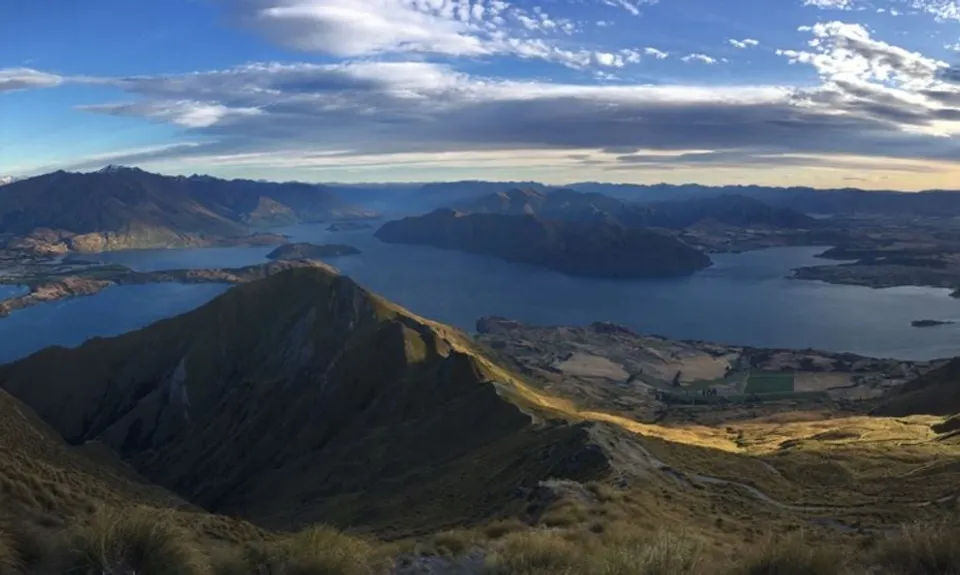
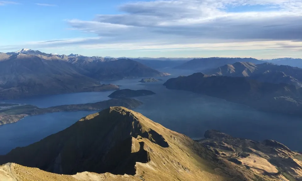
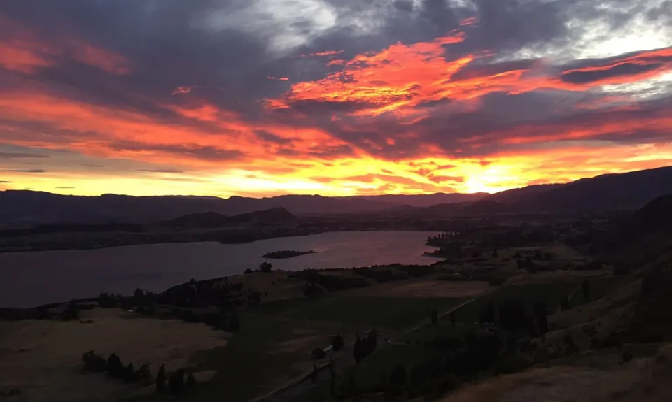
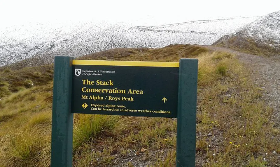
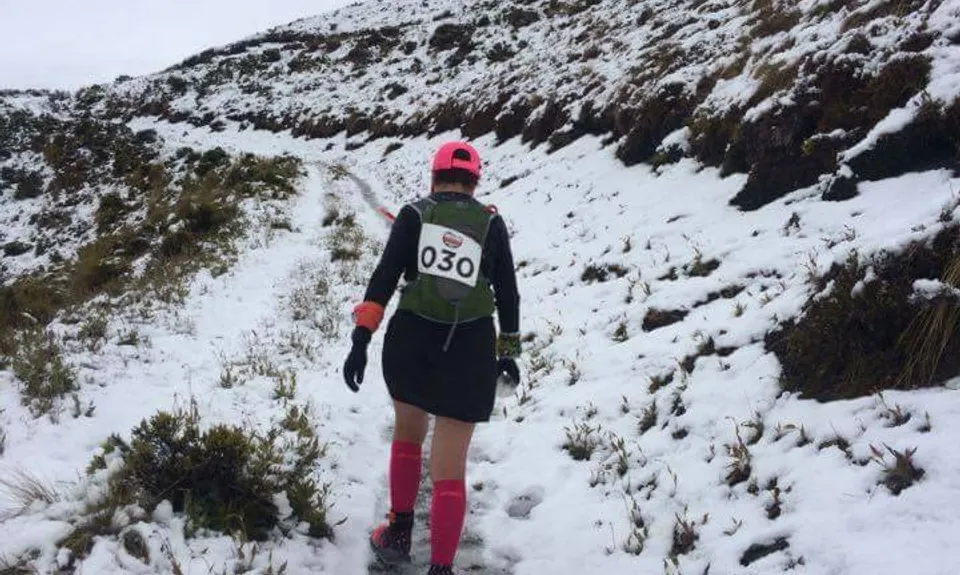
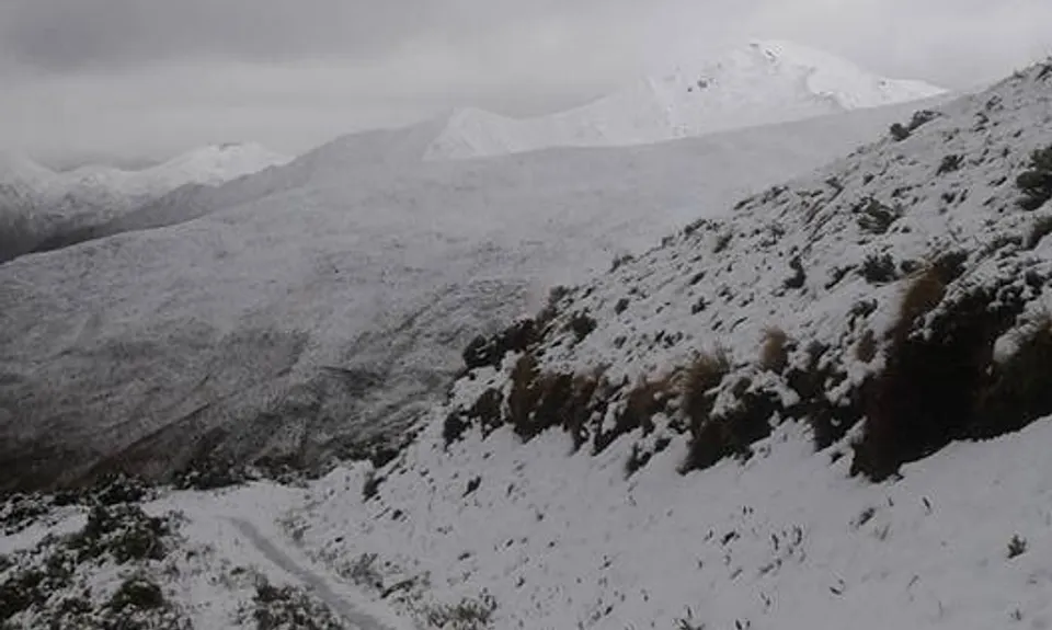
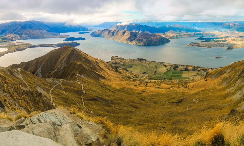
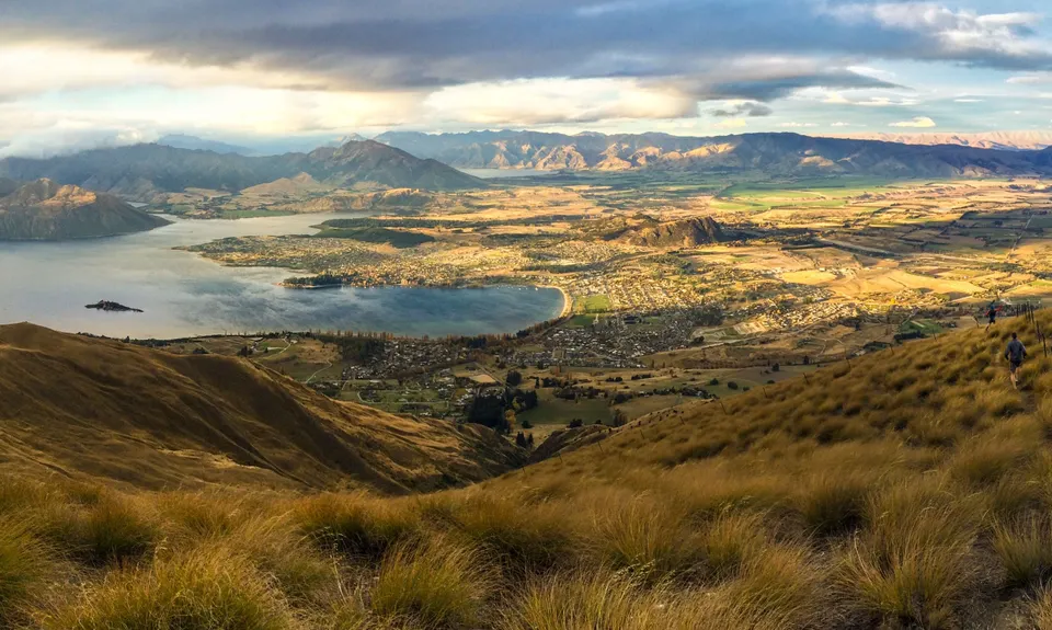
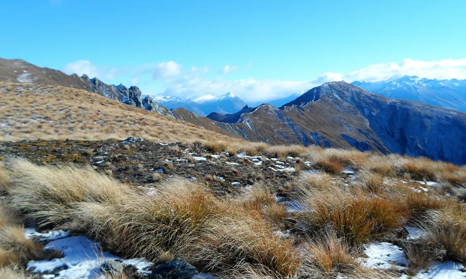
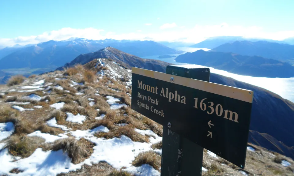
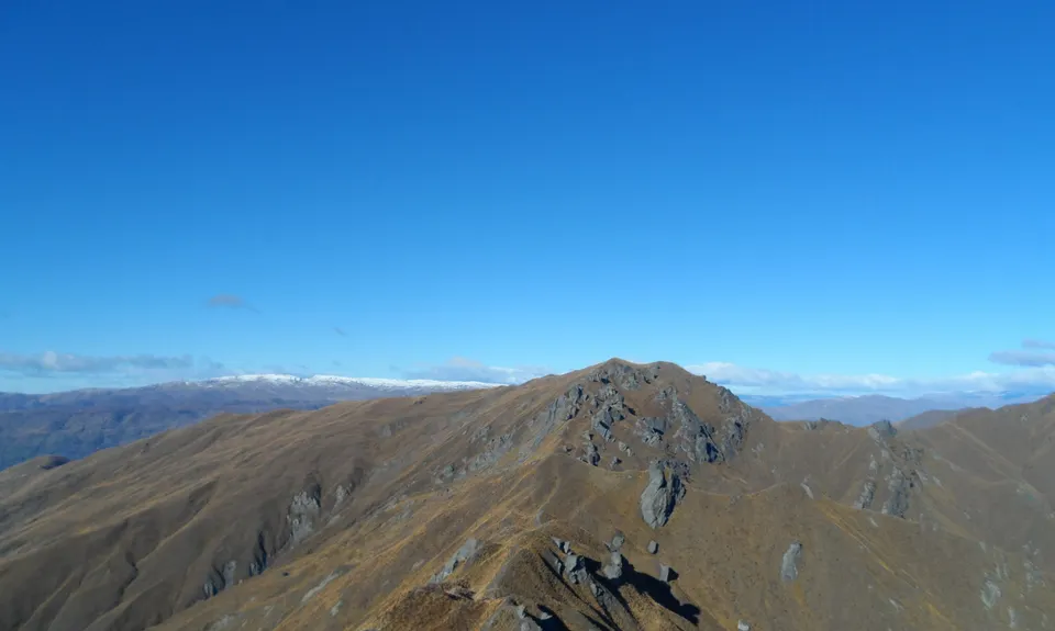
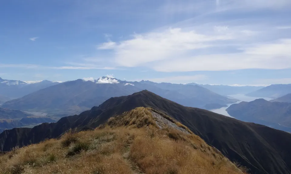
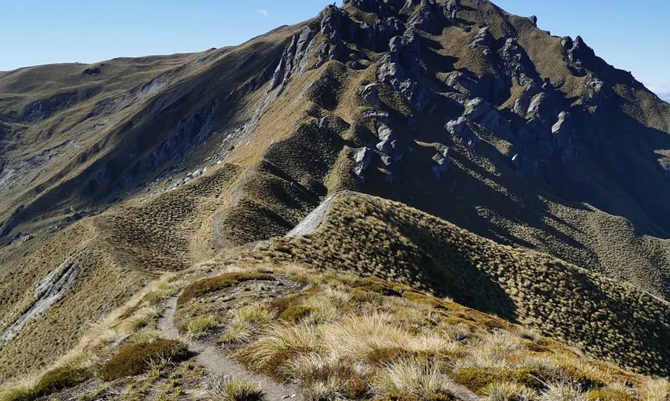
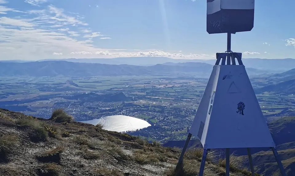
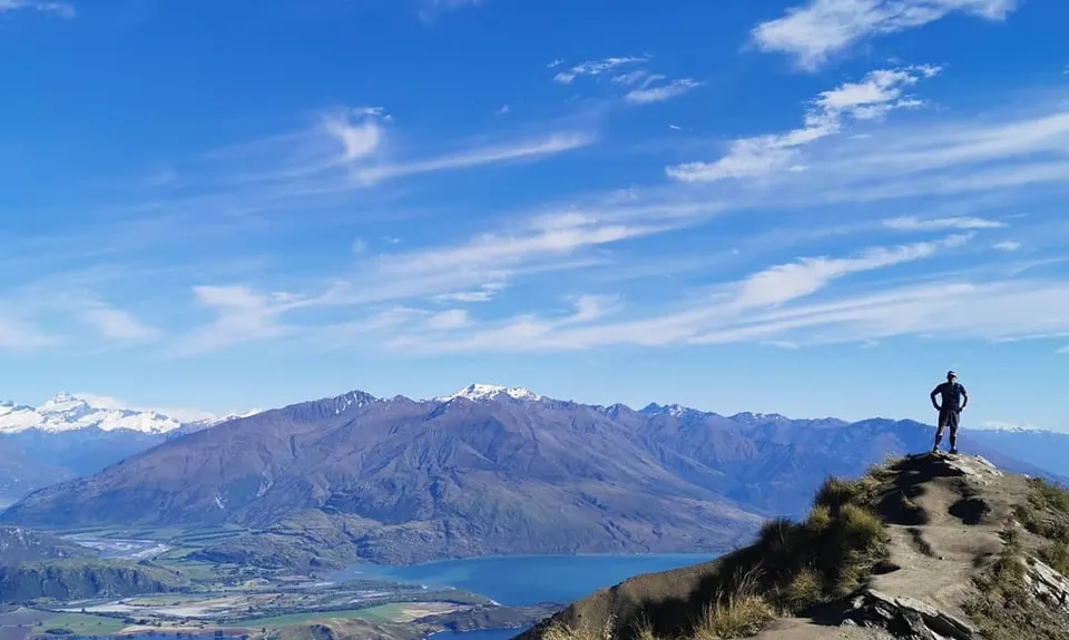
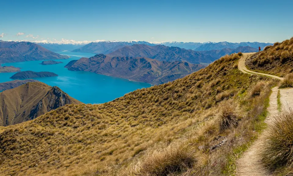
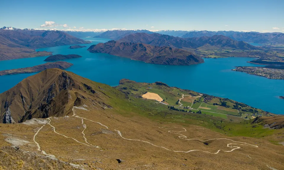
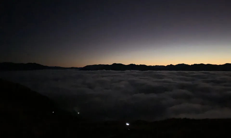
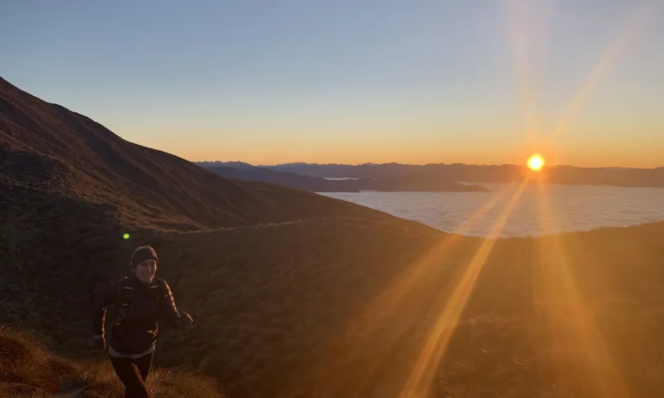
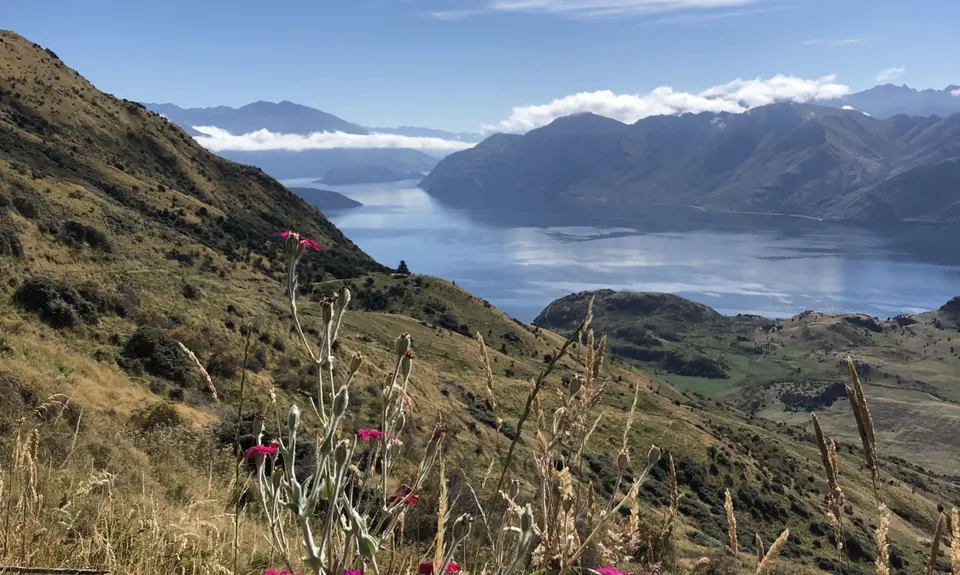
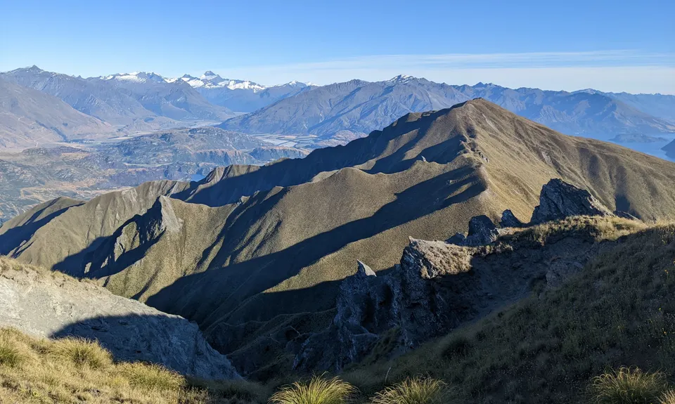
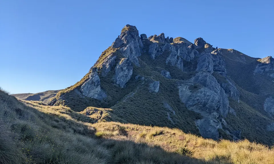
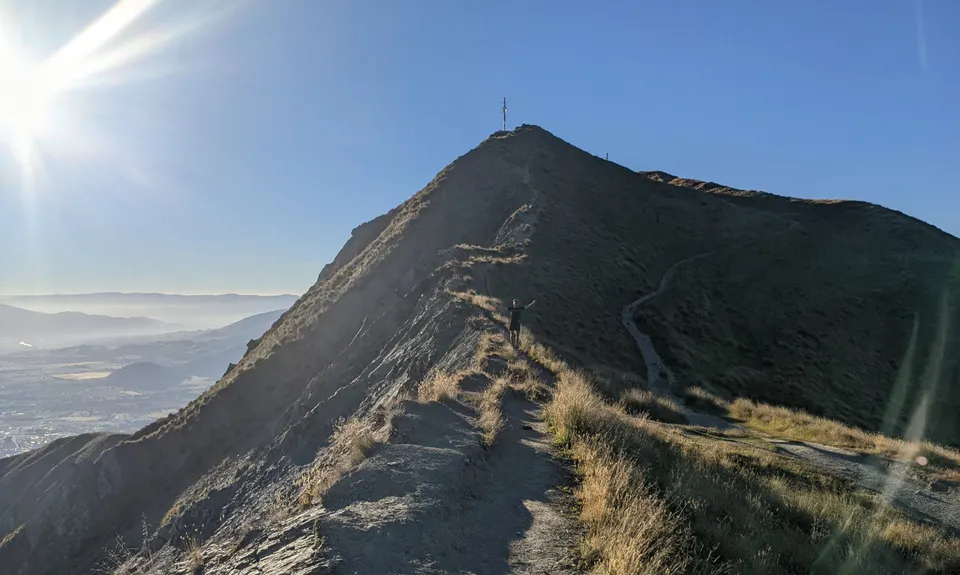
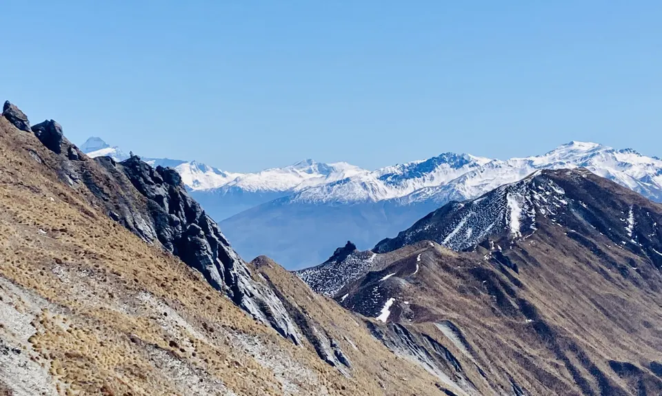
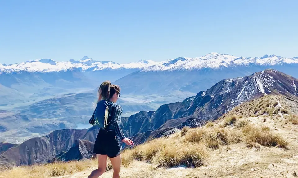
Wanaka Skyline Trail
Last Updated: 23rd May 2026
Open
Grunt Factor: 39 ?
Gnarl Factor: 32 ?
23.4km
1530m
1470m
1589m


.jpg)


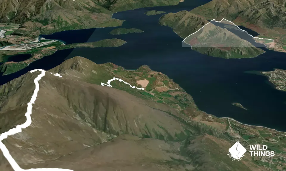
Trail Map
This Topo layer only covers NSW/ACT.
Switch to another map layer when viewing outside this area.
Switch to another map layer when viewing outside this area.


