Last Updated: 13th Aug 2024
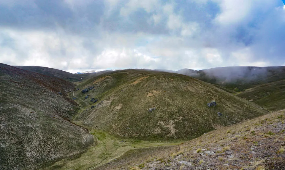
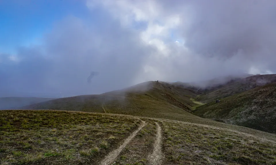
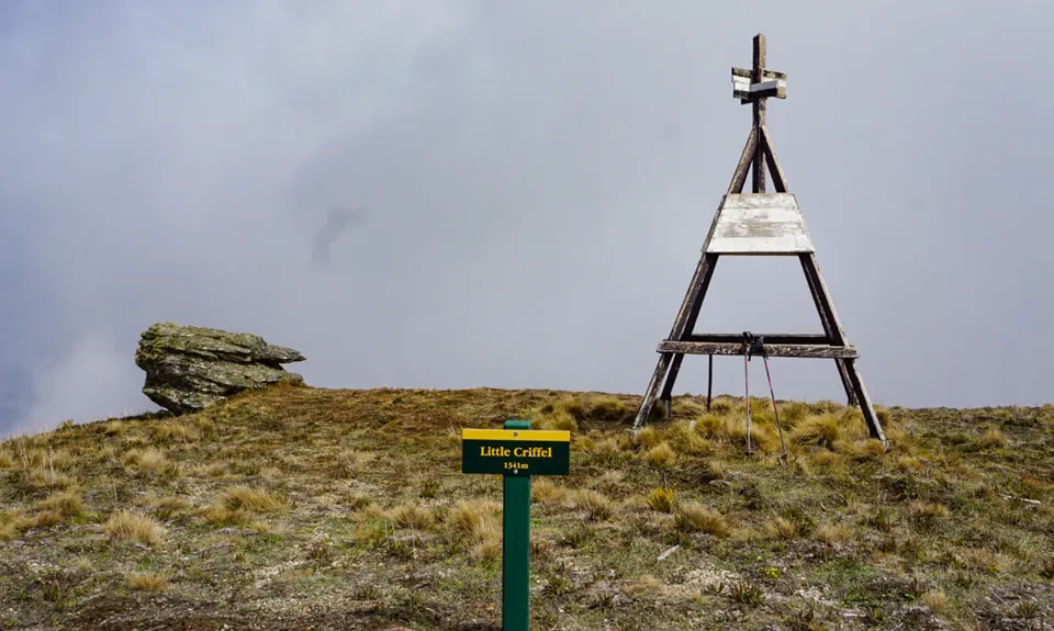
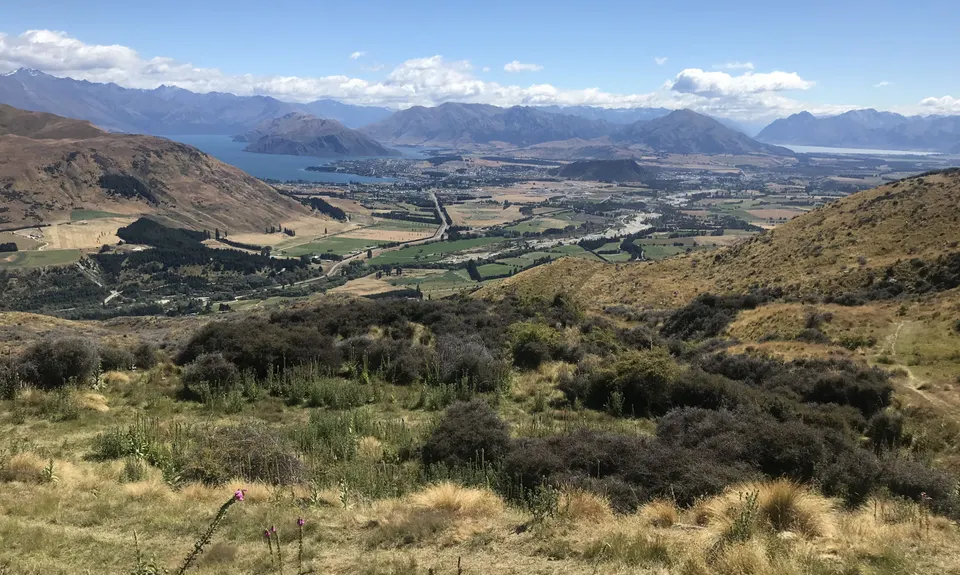
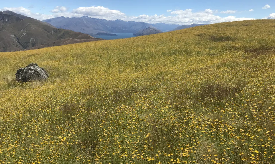
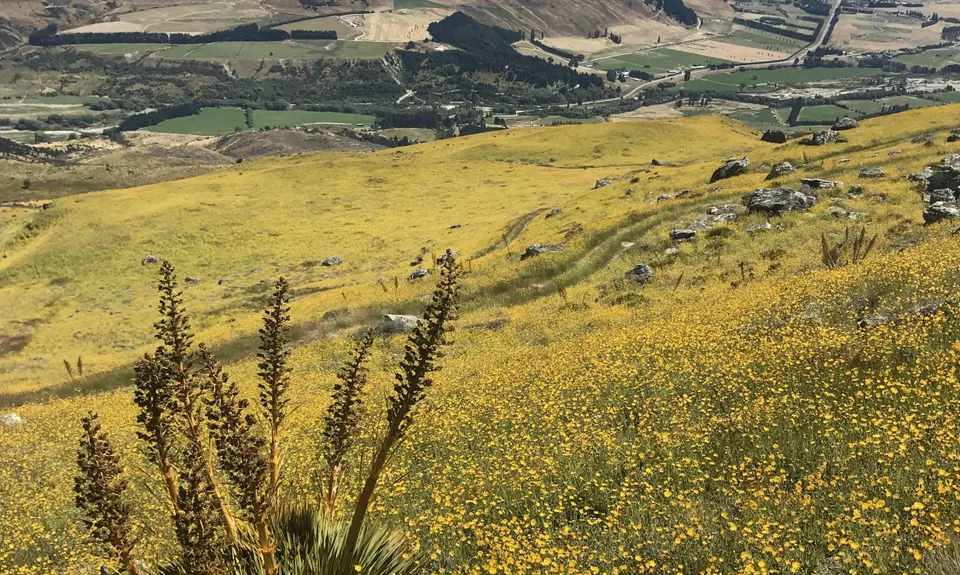
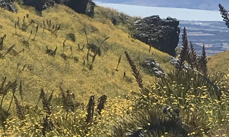
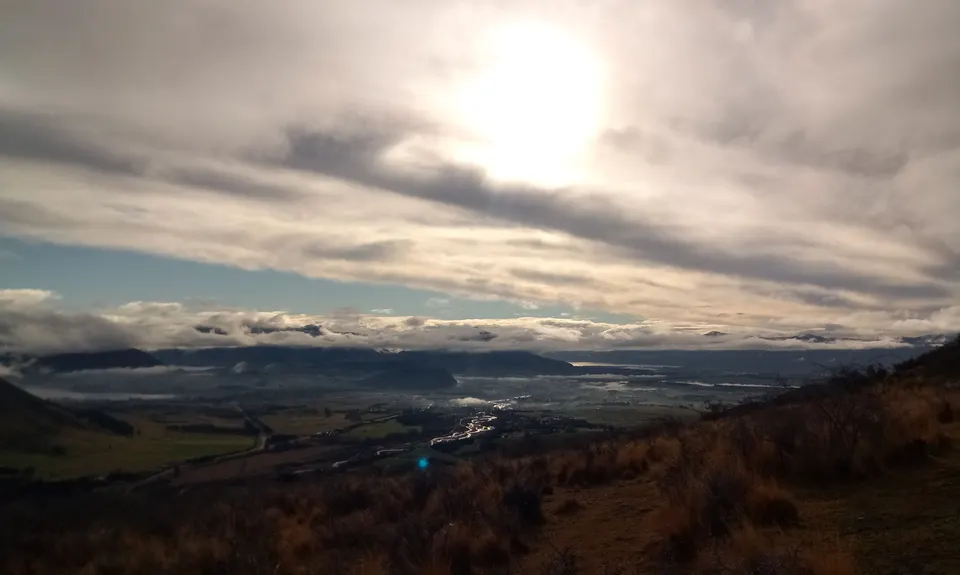
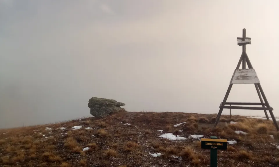
Little Criffel from the Larches
Last Updated: 13th Aug 2024
Grunt Factor: 30 ?
Gnarl Factor: 22 ?
19.0km
1165m
1165m
1350m


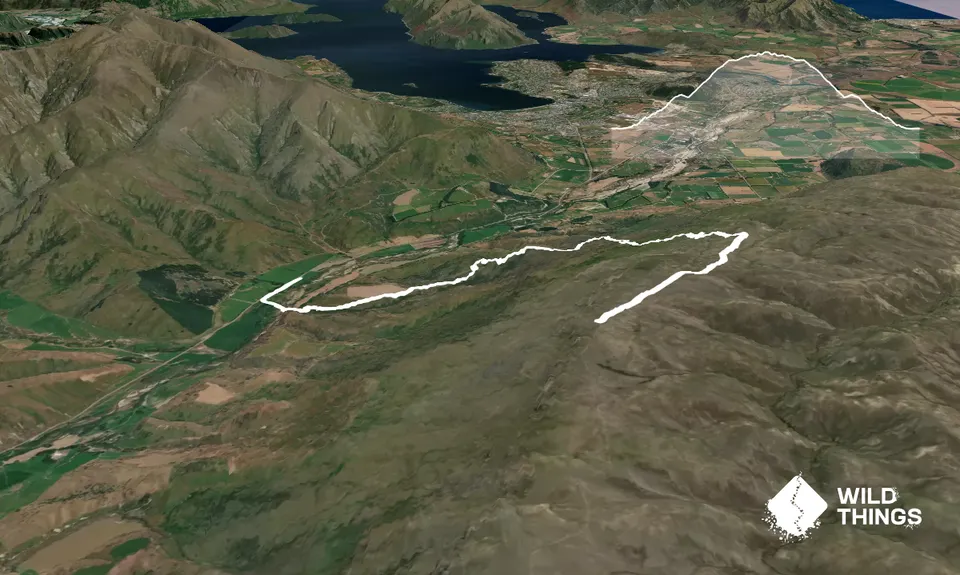
Trail Map
This Topo layer only covers NSW/ACT.
Switch to another map layer when viewing outside this area.
Switch to another map layer when viewing outside this area.


