Last Updated: 14th Nov 2025
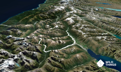
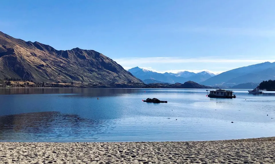
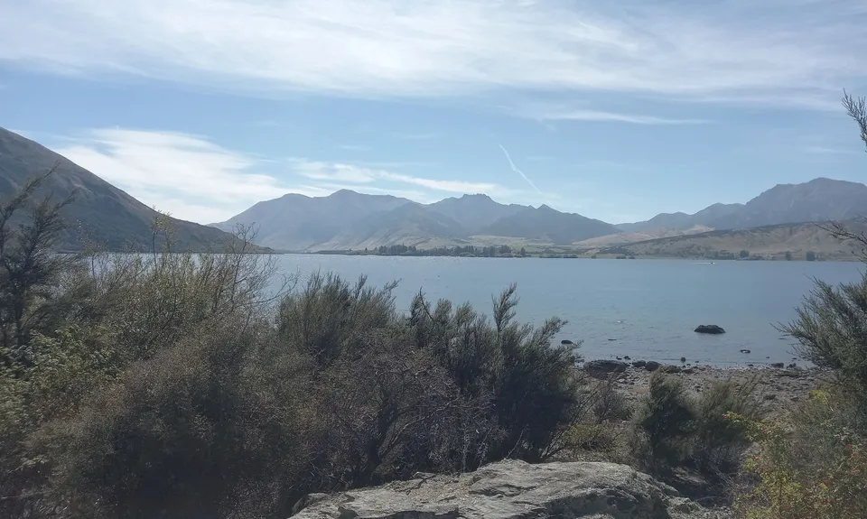
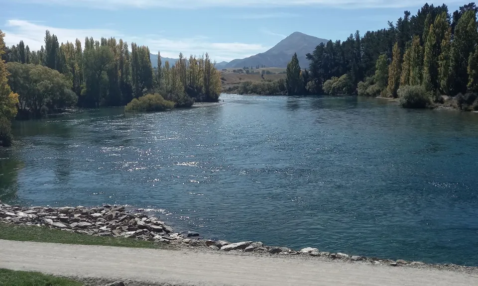
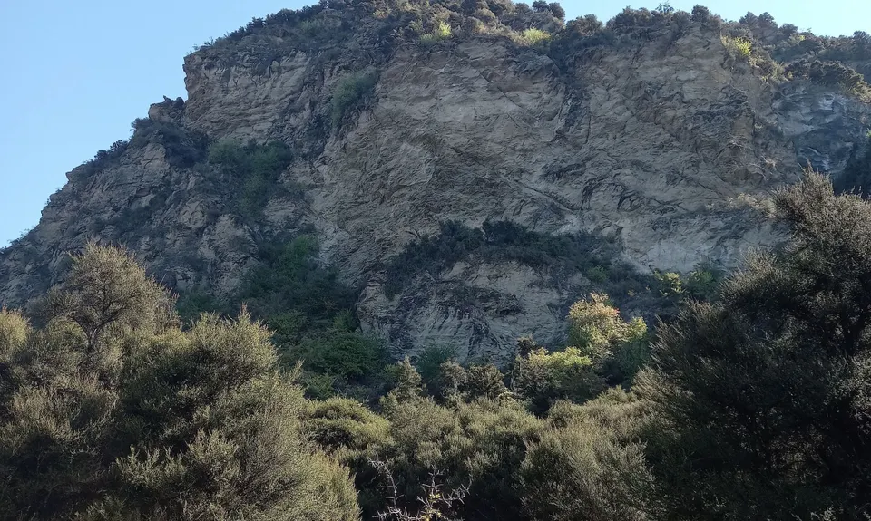
Wanaka LRMI (Lake, River, Mt. Iron)
Last Updated: 14th Nov 2025
Open
Grunt Factor: 18 ?
Gnarl Factor: 11 ?
20.2km
390m
390m
548m
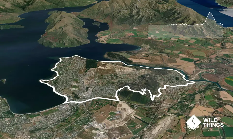
Trail Map
This Topo layer only covers NSW/ACT.
Switch to another map layer when viewing outside this area.
Switch to another map layer when viewing outside this area.