Last Updated: 1st Apr 2025
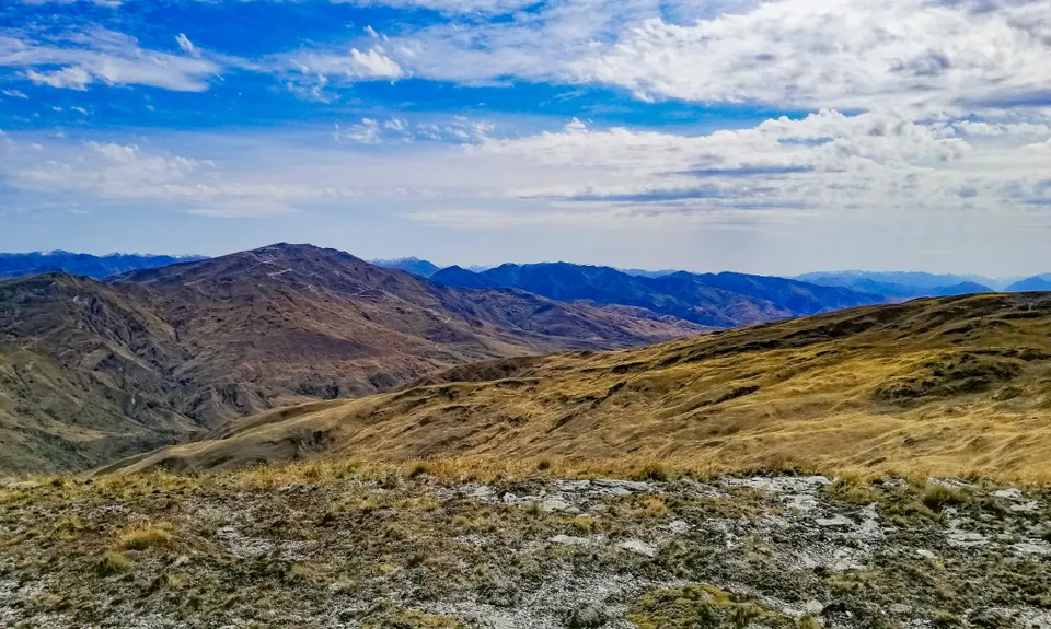
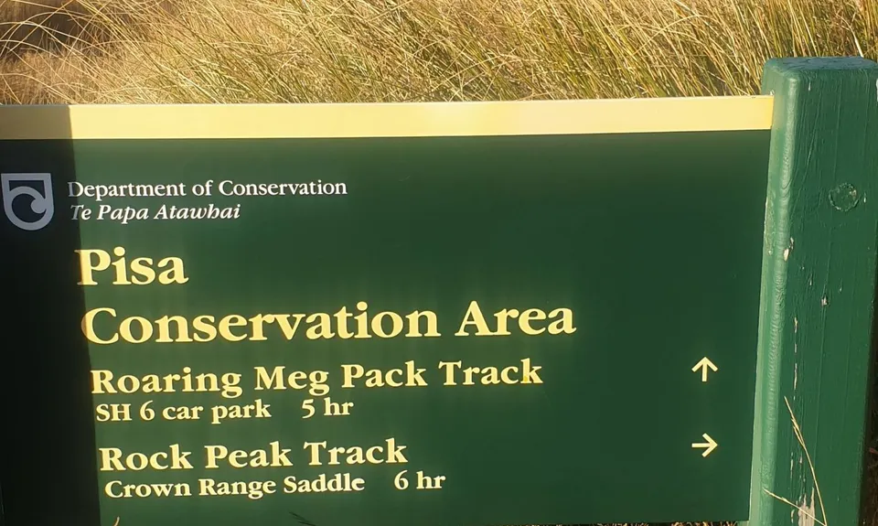
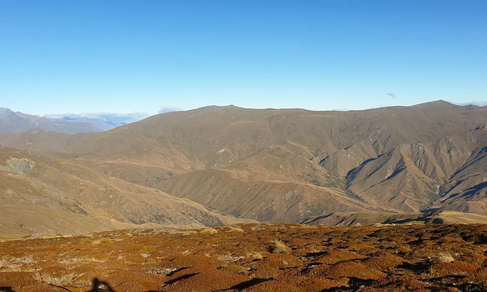
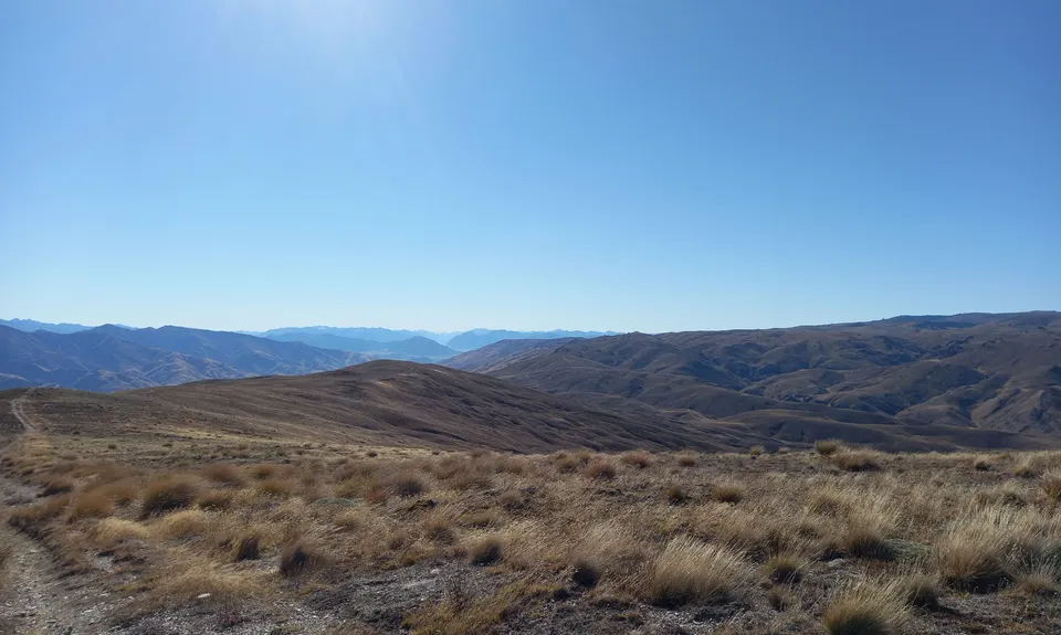
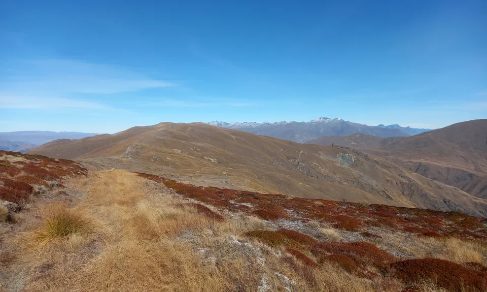
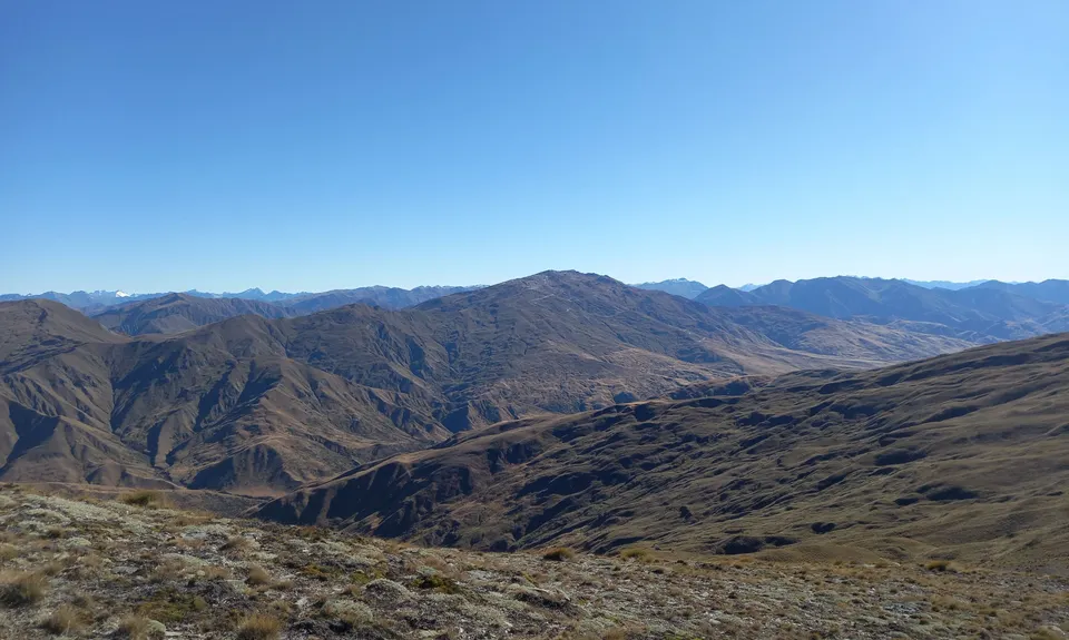
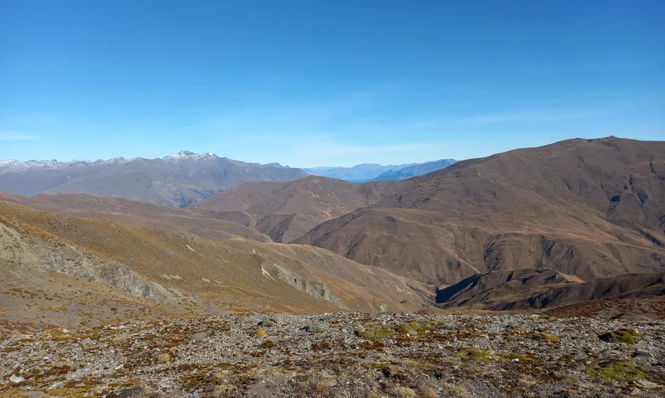
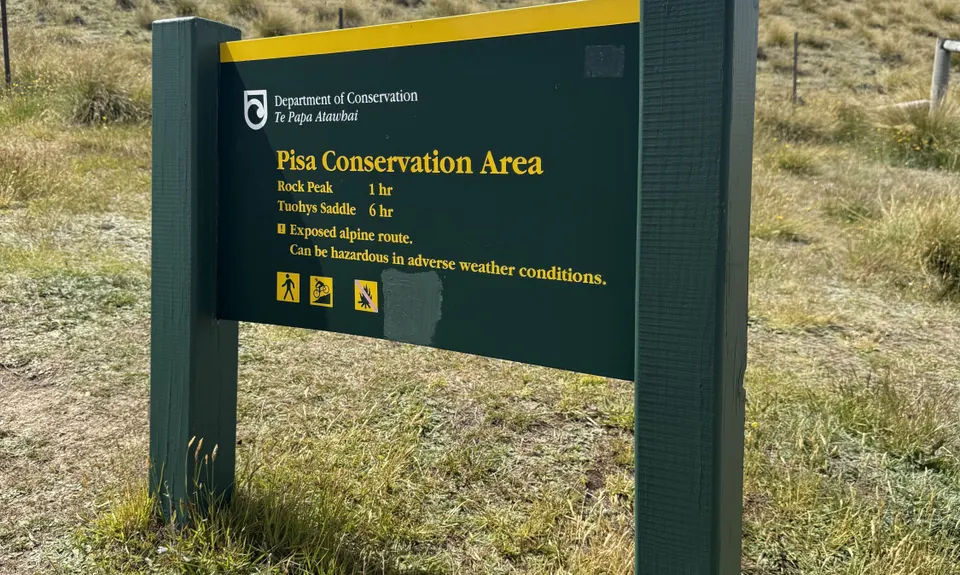
Rock Peak Track
Last Updated: 1st Apr 2025
Open
Grunt Factor: 27 ?
Gnarl Factor: 12 ?
22.2km
950m
1450m
1600m
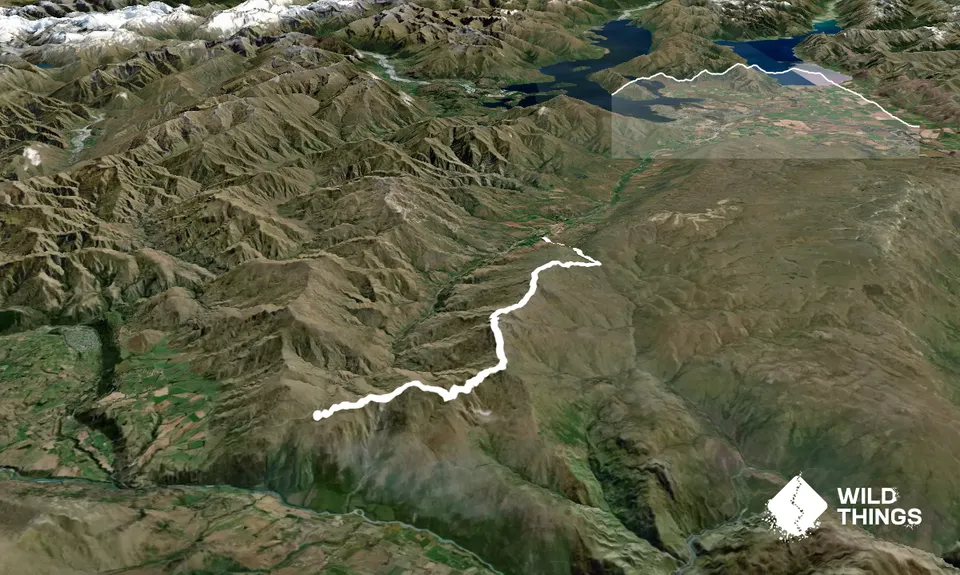
Trail Map
This Topo layer only covers NSW/ACT.
Switch to another map layer when viewing outside this area.
Switch to another map layer when viewing outside this area.


