Last Updated: 7th Mar 2026
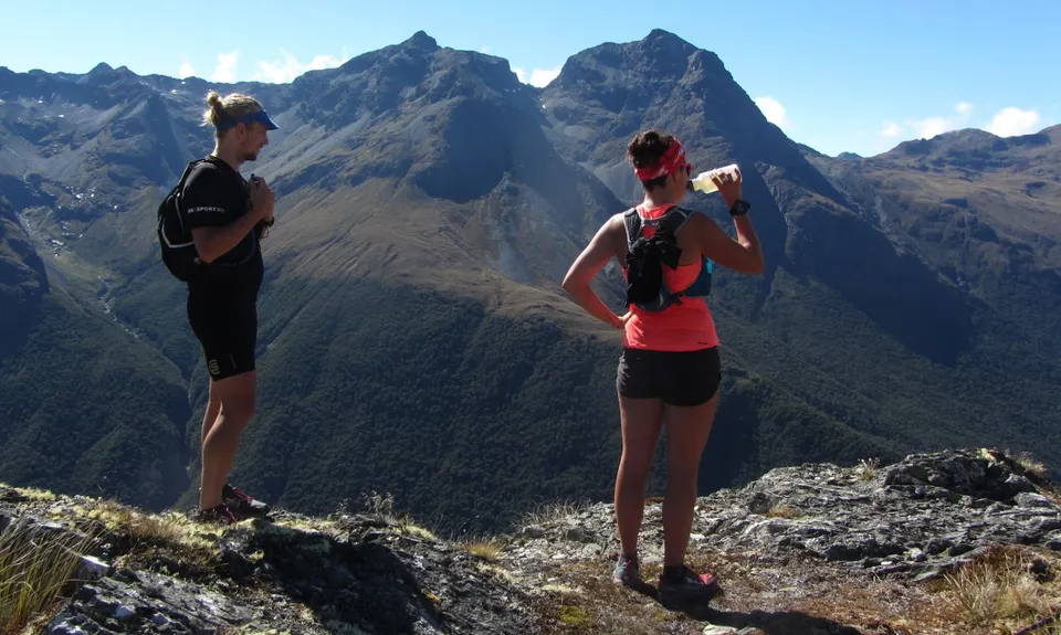
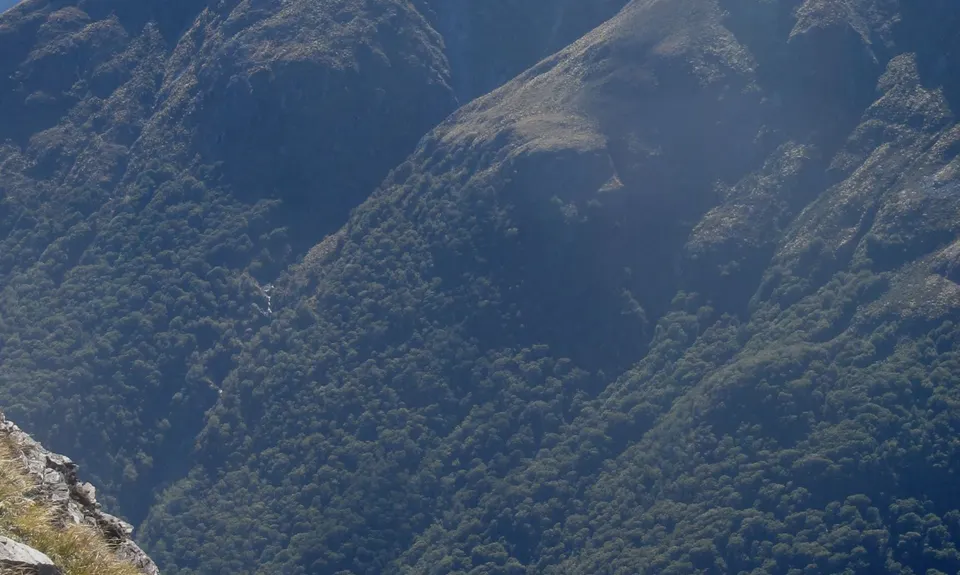
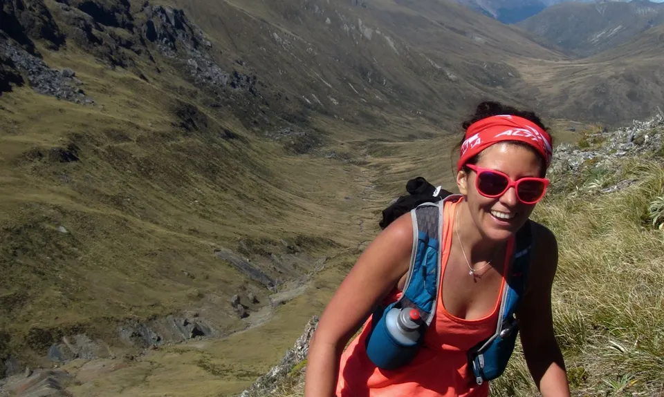
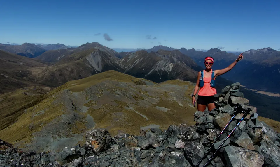
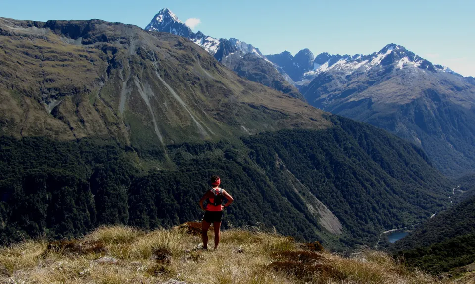
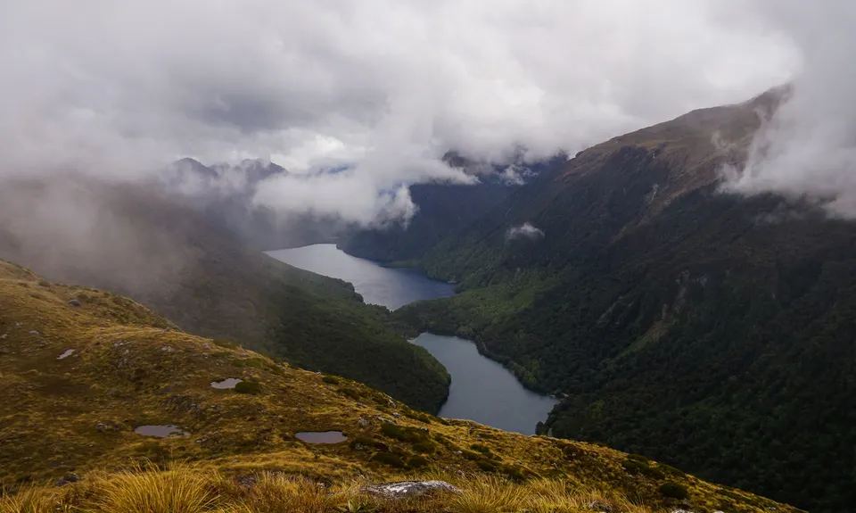
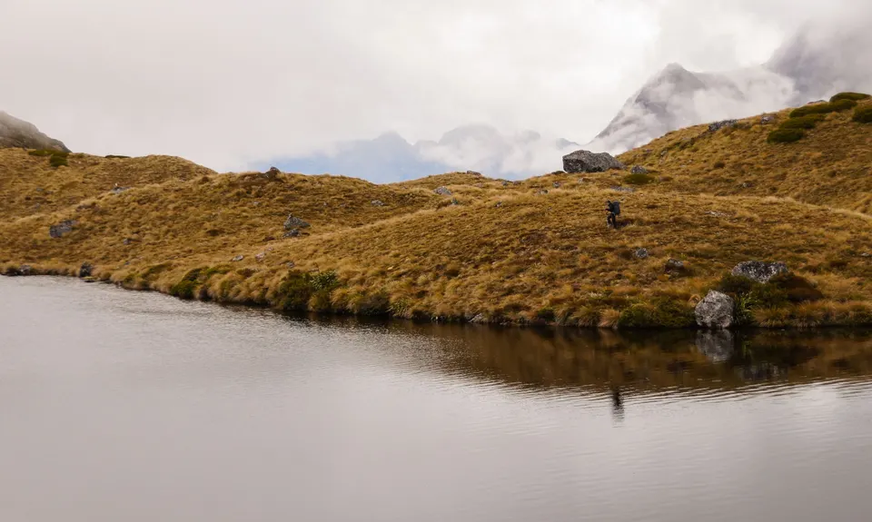
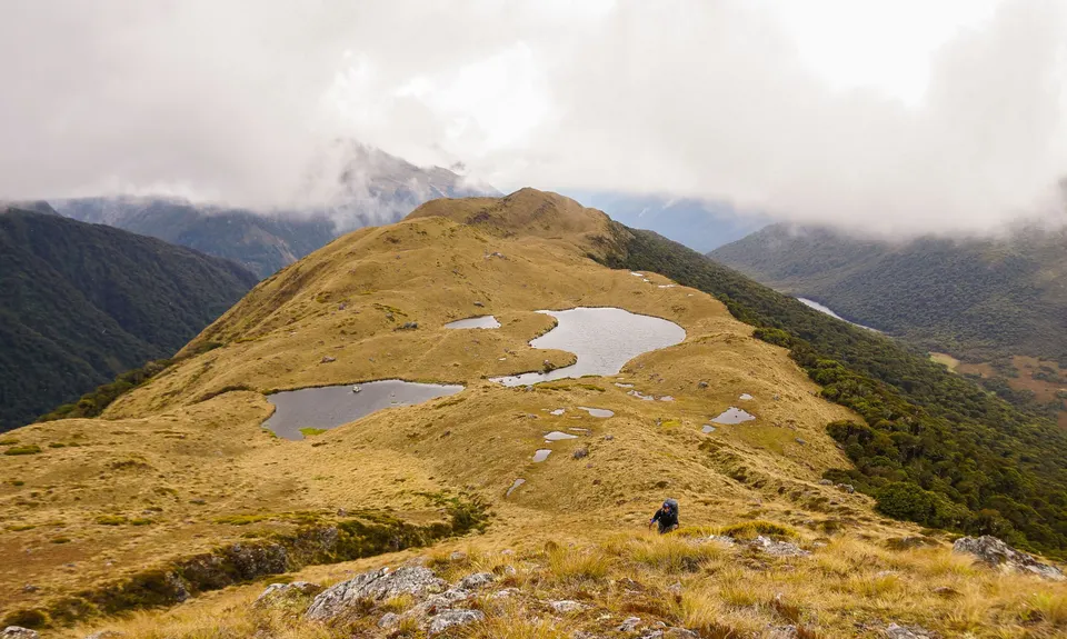
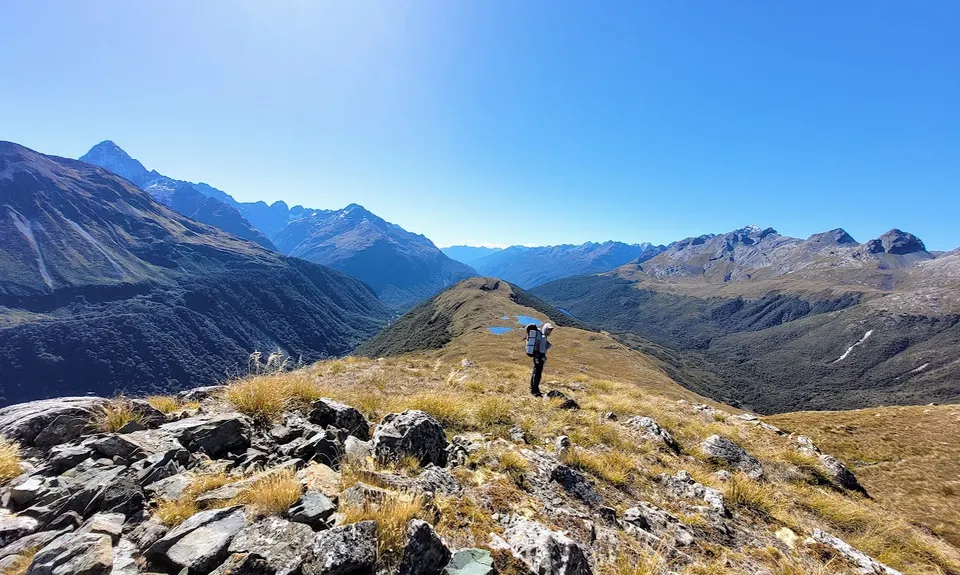
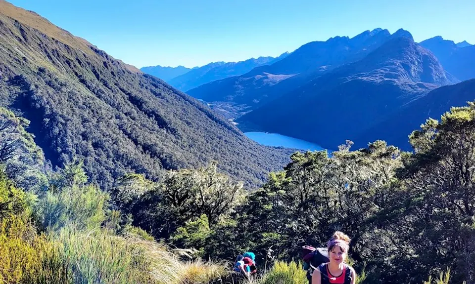
Whisky Trail and Routeburn
Last Updated: 7th Mar 2026
Open
Grunt Factor: 114 ?
Gnarl Factor: 64 ?
58.0km
2910m
2810m
1543m
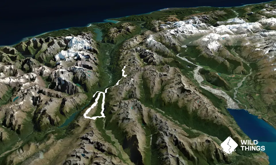
Trail Map
This Topo layer only covers NSW/ACT.
Switch to another map layer when viewing outside this area.
Switch to another map layer when viewing outside this area.


