Last Updated: 6th Apr 2026
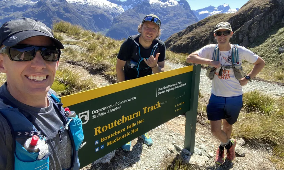
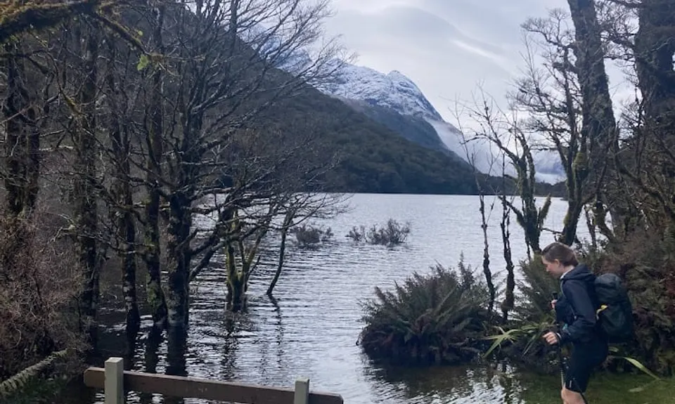
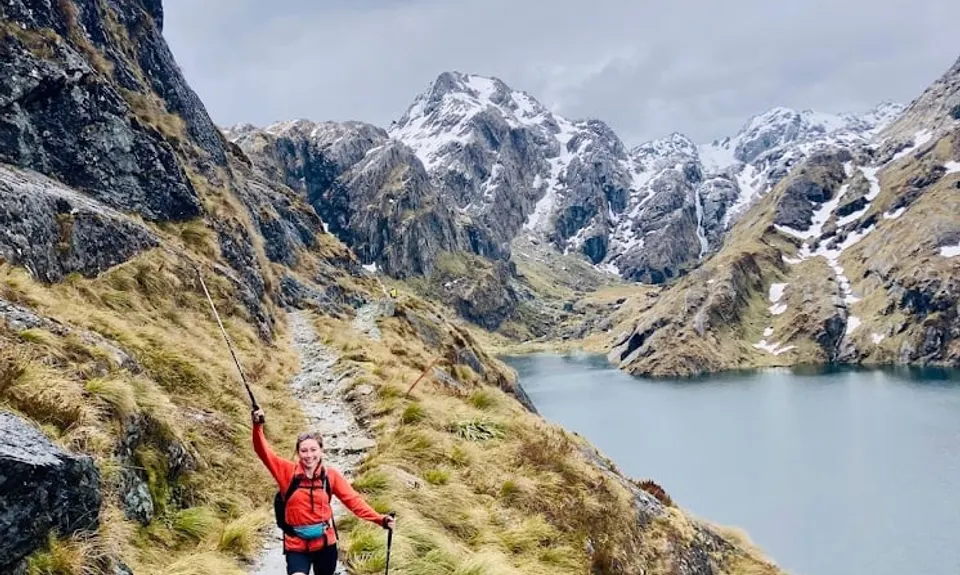
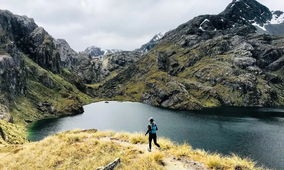
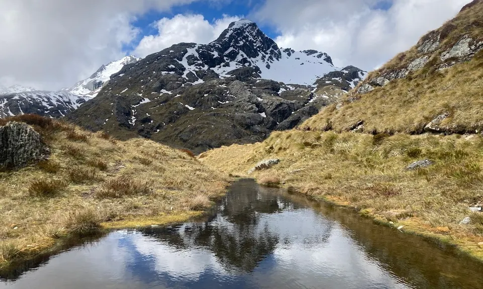
The Routeburn
Last Updated: 6th Apr 2026
Open
Grunt Factor: 55 ?
Gnarl Factor: 53 ?
32.0km
1150m
1220m
1300m

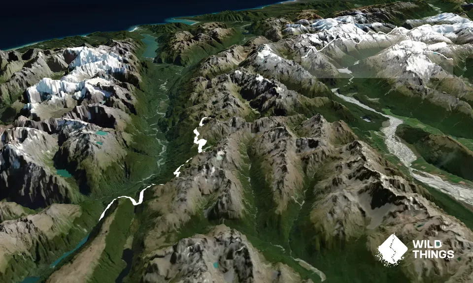
Trail Map
This Topo layer only covers NSW/ACT.
Switch to another map layer when viewing outside this area.
Switch to another map layer when viewing outside this area.


