Front country - easily accessible
Combo
Undulating, some big hills
Dog Friendly
Native bush
Riverside
Open tussock/grasslands
Open ridges/tops
Farm Road / 4WD Track
Easy Single Track
Moderate Single Track
Technical Single Track
Average Uphill Gradient: +13.7%
Average Downhill Gradient: -13.7%
Login as a VIP to see the trailhead information.
5:00
Slow
4:00
Moderate
3
Fast
This track is about 44km from Te Anau, the Boyd Creek track is one of the first trailheads along the Milford Road.
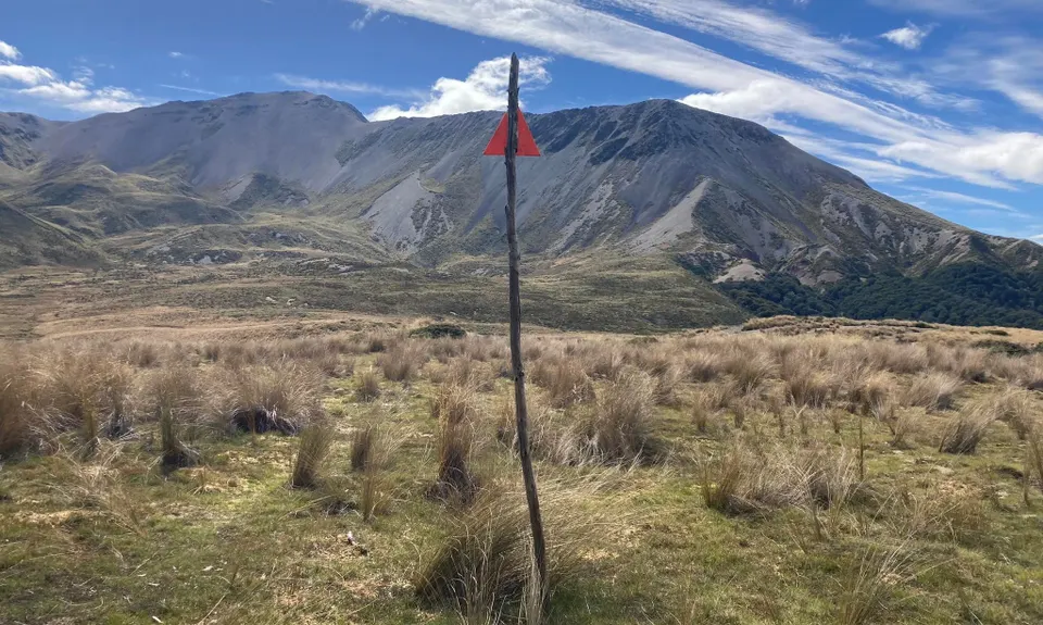
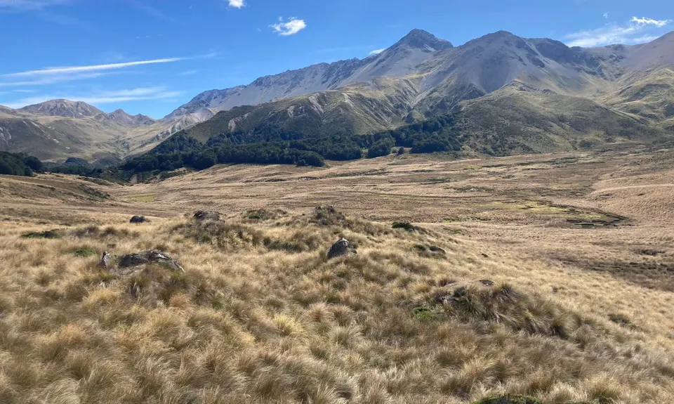
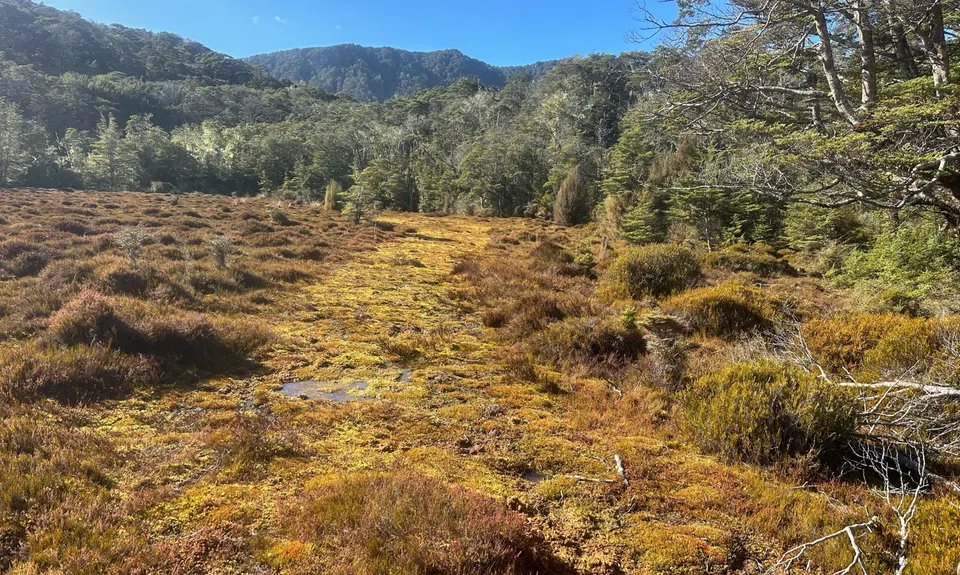
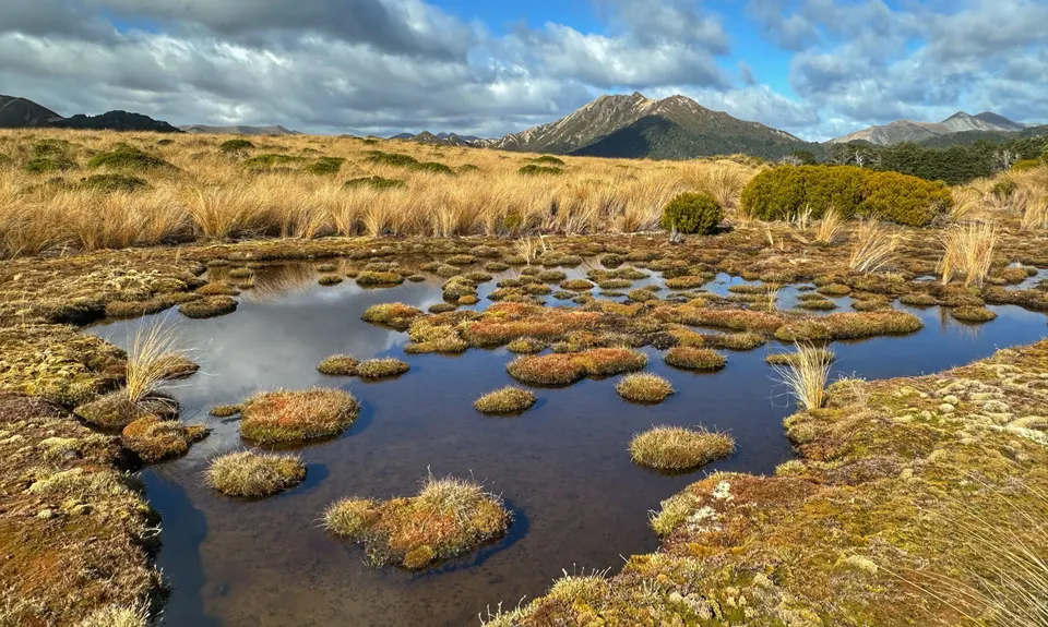
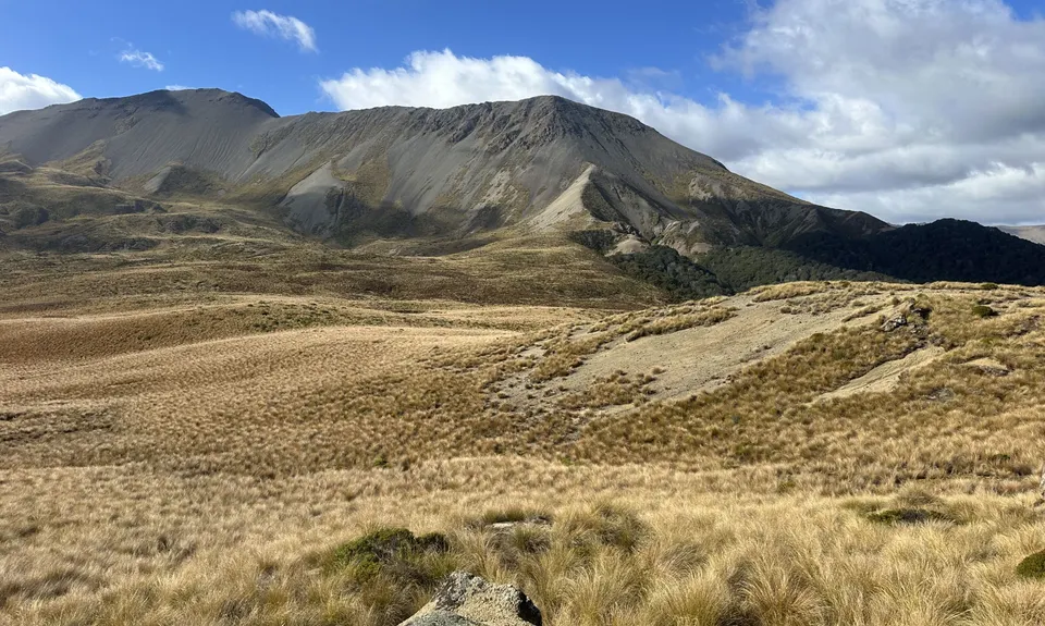
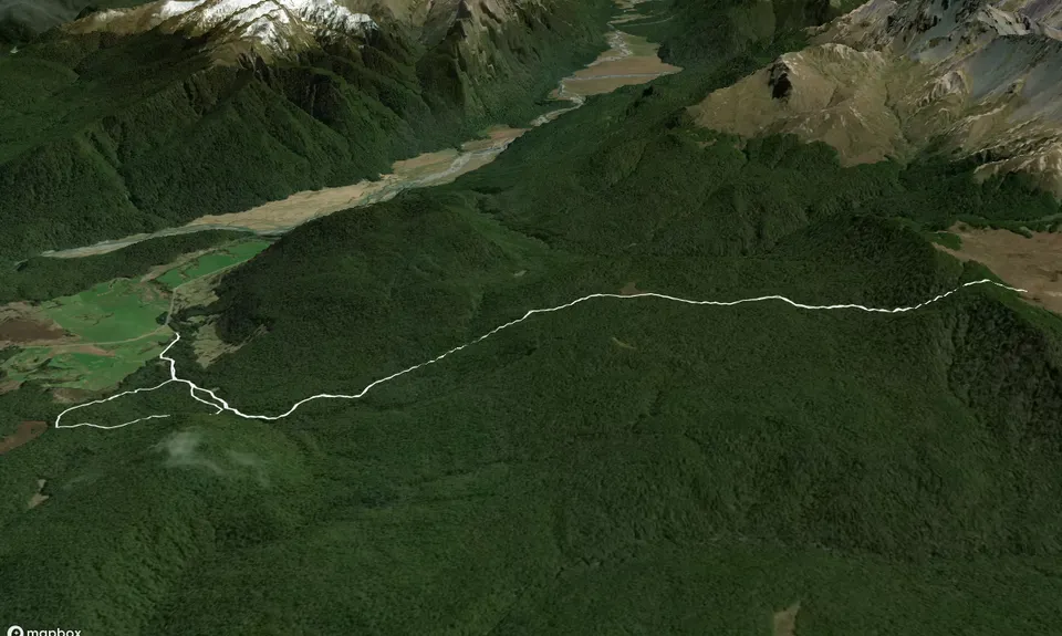
The Boyd Creek track takes you through enchanted forest, through a large clearing 2/3 of the way up, and then to an expansive hanging valley at the top. The DOC track ends once you reach this hanging valley, but it's possible if you come prepared to adventure further, for example going up and over to Forks Hut and the Mavora Lakes.
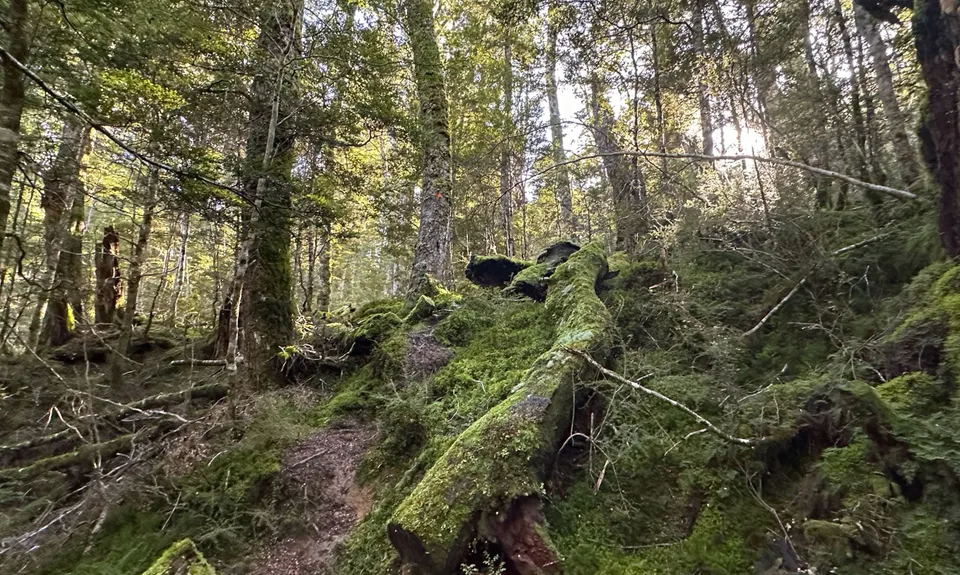
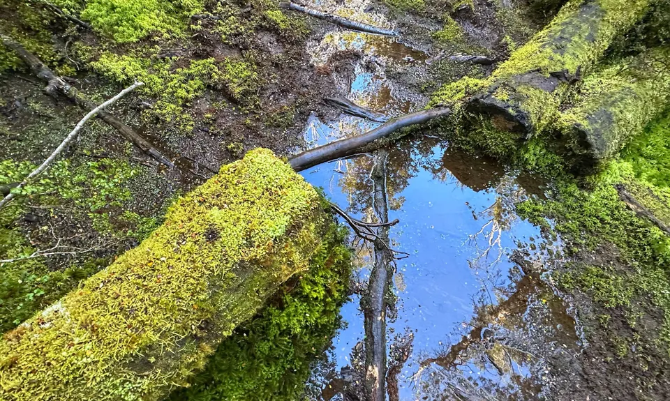
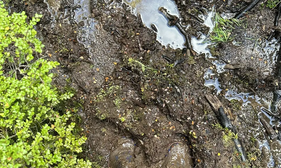
The Boyd Creek Tops Track on its own is about 15 km out and back, the nature walk loop near the trailhead adds about 3 km. The nature loop track takes you past the old Southland Boys school lodge, as well as a turn-off to a track that meets the Upukerora river. The nature loop track is much flatter than the Tops Track, although elevation gain on the tops track is mostly gradual. The track is mostly a narrow tramping track with plenty of tree roots, and some treefall throughout the track is to be expected. Can be muddy after wet weather.
Although the trail is called Boyd Creek, there are almost no water sources along the way (the trail is a fair way from the actual creek) so bring enough water for the trip.
As this track is just outside the Fiordland National Park boundary in Te Anau Downs, it is possible to bring a dog. Dogs are allowed on-leash, with a permit from DOC Fiordland for the Snowdon Forest area.
Parking is available at the trailhead, it's a small parking area but usually not a busy track.
0 km
0 minutes
Yes
No
Easy.
Patchy.
Personal Locator Beacon (PLB), Whistle, First aid kit, Extra food for emergencies, Cellphone, Map.
Do not be fooled by the title "Boyd Creek" -- there is virtually no water available on this track, especially the higher you get!
This track can be done all year in fine weather, wouldn't recommend in or after serious rain.
Trail Legend
Fastest Known Times (FKTs)
You and Boyd Creek Tops & Nature Walk
As a VIP member you can record private notes for this trail, see all of your times and more.
Already have an account? Login now
Cool track - pretty technical and rooty! Not much runnable on the up - lots of treefall the last 2kms to top - but great fun on the down. Stopped for half an hour up top, ran some short sections and all of the last few kms and it still took 5hrs 15 moving time. Elevation gain was 945m and loss was 912m. Completed the loop and top track - distance was 17.6kms. Route elevation and distance may need correcting!
February 13, 2023