Caples Track - The Divide VersionIntermediate
Submitted by Louise Player-Bishop
Front country - easily accessible
Point to Point (one way)
Undulating, some big hills
Native bushRiversideOpen tussock/grasslandsOpen ridges/tops
Intermediate
6:30 (Slow)
5:00 (Moderate)
3:00 (Fast)
-7.6%
+8.8%
Fastest Known Times (FKTs)
Please set your gender to see your position on the FKT leaderboards.
Men
Women
Filter FKTs
The more , the harder the FKT will be to beat. Learn about Fastest Known Times.
Description
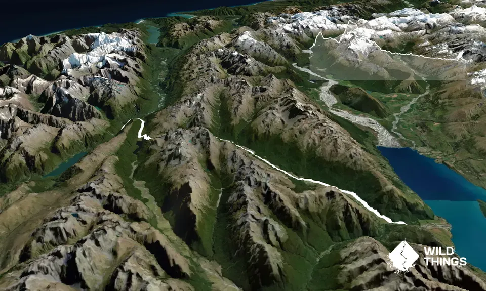
Caples Track about 31km, and is post-to-point. We chose to run from the Divide to the Greenstone Road carpark.
This is a beautiful track and not as busy as some of the other tracks in the area. McKellar Saddle is 945m high, and as the Divide is 531m the climb is steep but not significant.
We started from the Divide but the track is runnable from ether direction. Our support people dropped us off at the Divide and met us at the Greenstone Carpark after a long drive around (Te Anau, Queenstown, Glenorchy, Kinlock, Greenstone carpark). Ingrid from Glenorchy Journeys also offers a shuttle service to/from the Greenstone car park, reaonably priced and is flexible with pick-up times.
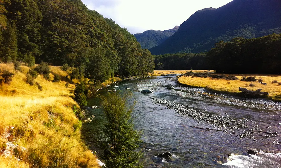
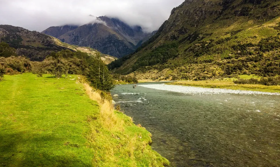
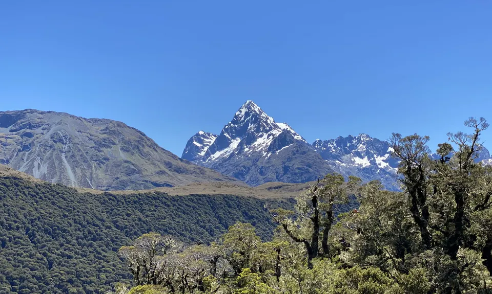
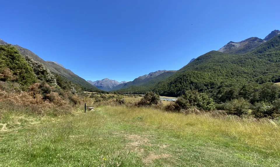
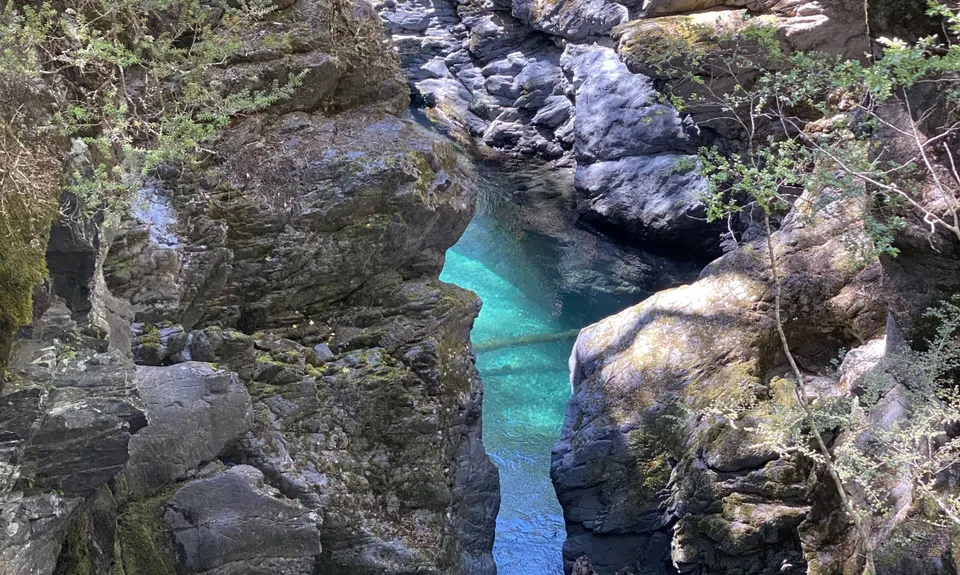
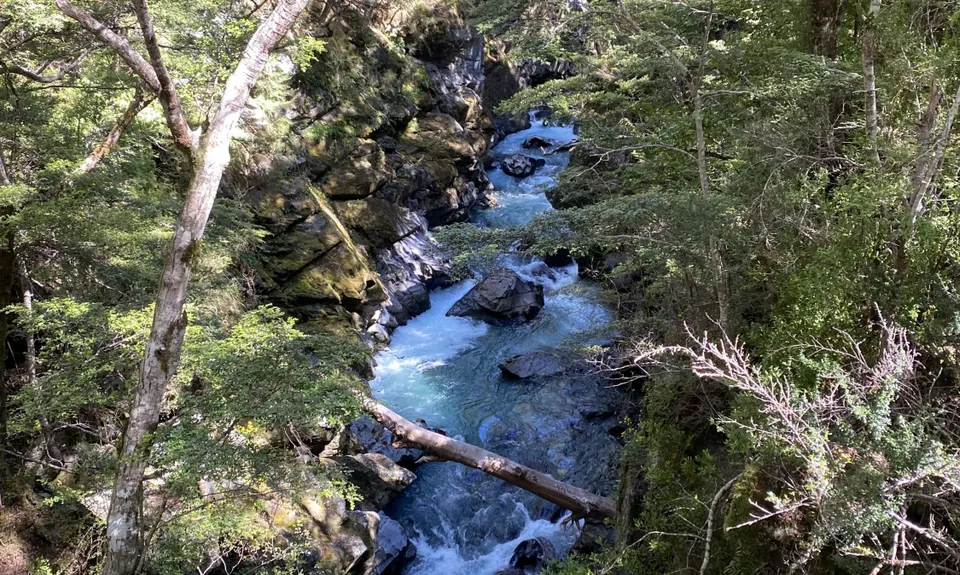
From the Divide, it was a short run to Howden Hut, the first hut on the Routeburn, and at this junction we peeled off to the Caples/Greenstone tracks. Shortly after this we left the Greenstone Track and turned left onto the Caples Track and the climb to the McKellar Saddle. We were fortunate with the weather and had magnificent views from the Saddle boardwalk. From the saddle, the track meanders through beech forest and along the valley floor to Mid Caples Hut. We stopped and had a leisruely break at Mid Caples Hut (with flushable toilets) and where we filled our water bottles. There is a fast flowing and accessible river prior to the farmed areas which we found ok for drinking water. After the Mid Caples Hut, you cross a gorge and the track meanders adjacent to and just above the farmed valley to the carpark.
This track was very runnable, is well maintained with a combination of rock, boardwalk, grassy flats and beech forest and took just over 6 hours at a lei.surely pace
Trail Community
Features of interest
McKellar Saddle gives some lovely views of the surrounding mountains
Make Up of Run
Moderate Single Track: 30%
Easy Single Track: 70%
Route Data
Reviews:
Photos:
Your Trail Wishlist
All the runs that are on your To Do list (no limit).
Add to wishlist view wishlistWild Explorers
I did it!-
Access
The Divide, between Te Anau and Milford (start of the Routeburn Track)
Plenty of parking at The Divide
75 km
57 minutes
No
No
-
Staying Safe
Easy.
The track is well graded and well marked, with alternative options clearly defined
Non-existent.
Waterproof leggings, Thermal leggings, Long-sleeved thermal top, Seam-sealed waterproof jacket, Windproof jacket, Gloves, Beanie/thermal headwear, Personal Locator Beacon (PLB), Whistle, First aid kit, Extra food for emergencies, Cellphone, Map.
Mid Caples Hut and from the river prior to the farmed areas
Summer run only
Alpine environment
-
Post run indulgence
Kinloch Lodge
Kinloch
http://www.kinlochlodge.co.nz
Great hot chips, perfect at the end of a run! -
Sponsor this trail
See other runs nearby:
Kepler Track
Lake Marian Meander
Whisky Trail and Routeburn
The Routeburn
Milford Track
South Mavora Lake Trail
Waiau River Loop
Deepest Darkest George
Gobsmacking Gertrude
Henry the Hooligan!
Tour de Milford Haven
Te Anau Foreshore Trail
The Hollyford: Out and Back to Alabaster
Hollyford Road - Routeburn Loop via Deadmans and Pass Creek
Luxmore Hut Return
Routeburn: Divide to Conical Hill
Kiwi Burn Circuit
Boyd Creek Tops & Nature Walk
Key Summit Nature Trail Loop