Waiau River LoopBeginner - Intermediate
Submitted by Michael Bush
Front country - easily accessible
Loop
Undulating, small hills only
Native bushRiversideOpen farmlands
Beginner - Intermediate
3:15 (Slow)
2:30 (Moderate)
1:55 (Fast)
-3.3%
+2.5%
Fastest Known Times (FKTs)
Please set your gender to see your position on the FKT leaderboards.
The more , the harder the FKT will be to beat. Learn about Fastest Known Times.
Description
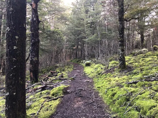
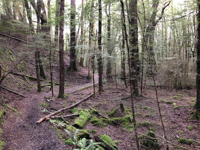
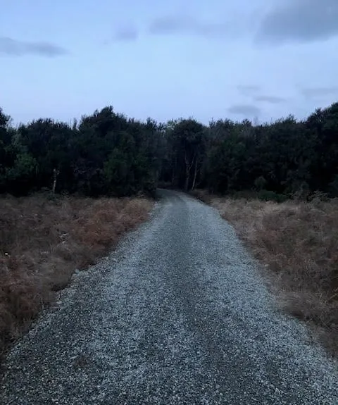
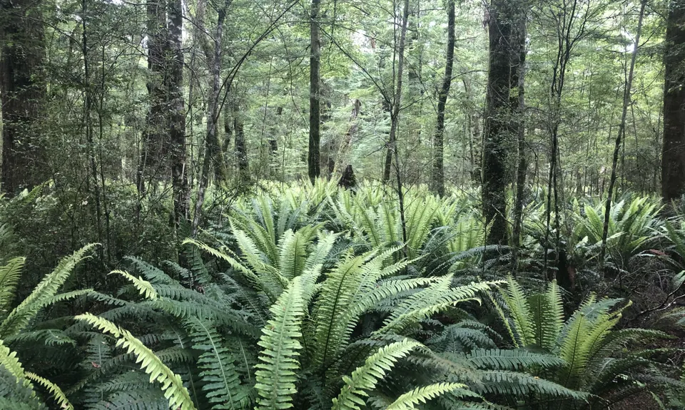
Starting from the Kepler track carpark head down the gravel track past a visitor shelter towards the control gates, continue over the gates and on to a grassy area at which point the track forks - take the left fork which is marked for Rainbow Reach. From this point the track mostly follows the Western side of the Waiau River through native bush on a well formed track, plenty of places to stop along the way and take in the scenery.
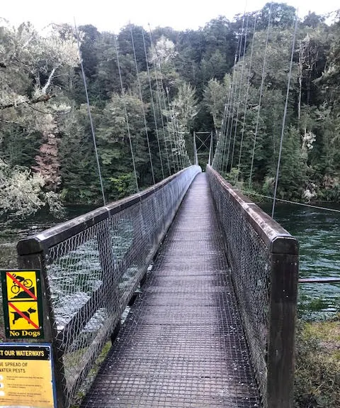
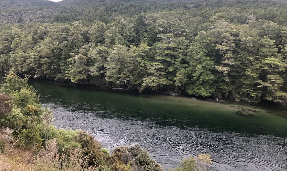
There are a couple of sections of the track that you'll lose sight of the river but sure enough it comes back into sight - at about the 10km mark you will be greeted by the Rainbow Reach Swing bridge. A good opportunity to enjoy the views and catch your breath as you cross the bridge to the otherside.
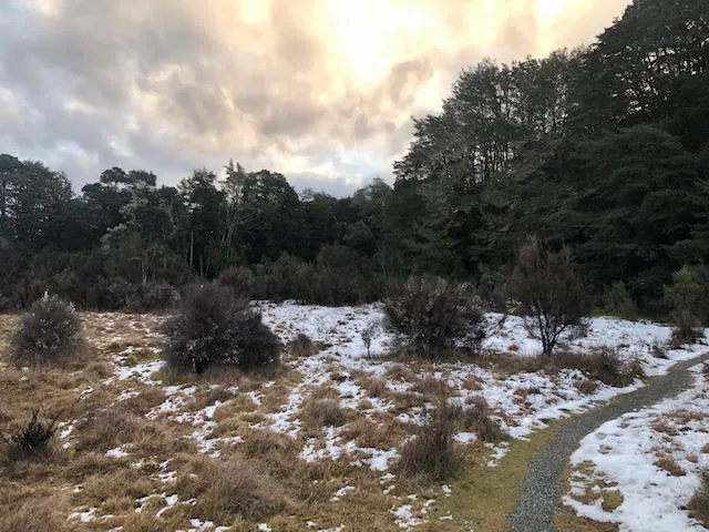
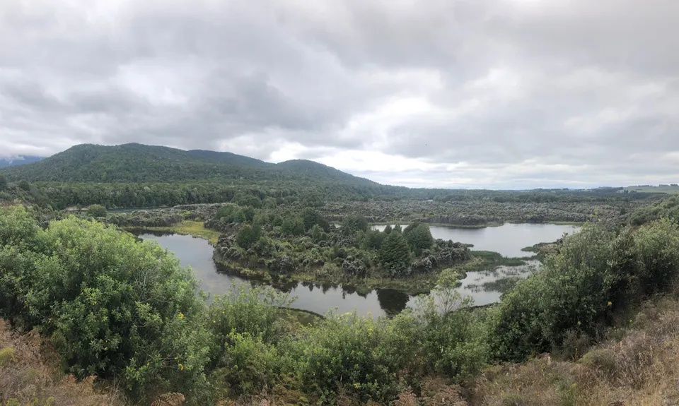
Across the bridge is a small visitor shelter and toilet area - continue straight until you reach a gravel road - there are signposts to follow for the Te Anau/Manapouri Cycle trail which leads to a junction in the track - head left which will have arrows for Te Anau. The next part of the track is more exposed and open compared to the the sheltered first 10km. The cycle trail follows a meandering path along the Eastern side of the river and in places skirts along the edge of farmland and the Te Anau/Manapouri highway, then the track narrows and veers away from the highway and through a short stretch of bush, emerging at Queens Reach road. Keeping an eye out for any traffic follows sign for Te Anau and cross a small ford leading to a gravel road through the Queens Reach recreation area - this is a popular access point to the Waiau River and the track is mainly gravel road through here, but watch towards the end as the track deviates away on its course although it is well signposted.
Continue on through native bush with a few glimpses of the river, shortly the track emerges and follows along beside Golf Course Road before ending up back opposite the Te Anau Control gates - back where you started.
Trail Community
Make Up of Run
Technical Single Track: 10%
Moderate Single Track: 10%
Easy Single Track: 35%
Farm Road / 4WD Track: 33%
Gravel Road: 10%
Sealed Road: 2%
Route Data
Reviews:
Overlapping Runs
The following trails overlap with this run to some degree. You may wish to combine them but please note that to qualify for FKTs on these runs you should record a separate Strava activity for each

Kepler Track
Length: 60.10km
Photos:
Your Trail Wishlist
All the runs that are on your To Do list (no limit).
Add to wishlist view wishlistWild Explorers
I did it!-
Access
From Te Anau head South on the Manapouri/TeAnau highway, take the first right into Golf course Rd and then right again into the Kepler track carpark. Alternatively if running from Te Anau there is a well marked trail leading from the Fiordland National park visitor centre.
From the carpark follow the track onwards, crossing the control gates the start of the track will be on the left - marked for Rainbow Reach.Plenty of carparking available, depending on time of year usually other vehicles around.
6 km
9 minutes
No
No
-
Staying Safe
Easy.
Make navigation of this route super-easy by using the Capra app on your phone. View on Capra .
Follow the main track through the Queens Reach Recreation area and watch for yellow cycleway signposts as there are a few smaller side tracks in this section.
Patchy.
Long-sleeved thermal top, Seam-sealed waterproof jacket, Windproof jacket, Beanie/thermal headwear, Whistle, First aid kit, Extra food for emergencies, Cellphone, Map, Headtorch and spare batteries.
Apart from the obvious river there is water at Rainbow Reach and Kepler carpark, although best not to rely on this and take your own.
Usually muddy on the Eastern side of the river after rainfall, possibilty of snow in open areas. The cycle trail section is more exposed and potential for flooding after heavy rainfall - watch particularly the Queens Reach Recreation area and the ford leading to it.
-
Sponsor this trail
See other runs nearby:
Kepler Track
Lake Marian Meander
Whisky Trail and Routeburn
The Routeburn
Milford Track
Caples Track - The Divide Version
South Mavora Lake Trail
Deepest Darkest George
Gobsmacking Gertrude
Henry the Hooligan!
Tour de Milford Haven
Te Anau Foreshore Trail
The Hollyford: Out and Back to Alabaster
Hollyford Road - Routeburn Loop via Deadmans and Pass Creek
Luxmore Hut Return
Routeburn: Divide to Conical Hill
Kiwi Burn Circuit
Boyd Creek Tops & Nature Walk
Key Summit Nature Trail Loop