Last Updated: 21st Sep 2023
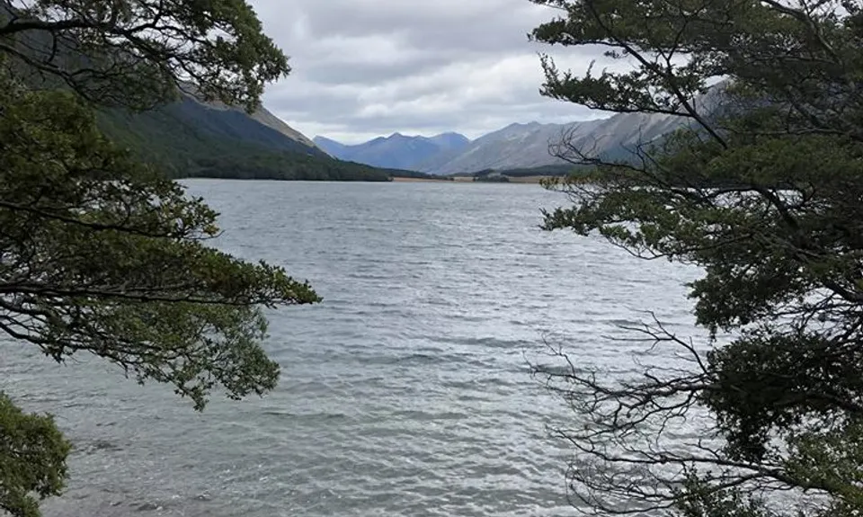
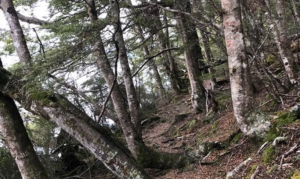
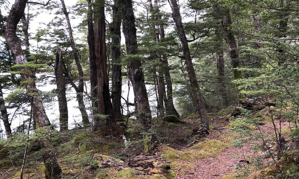
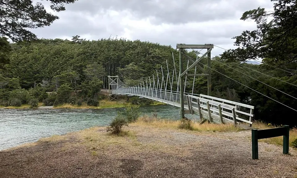
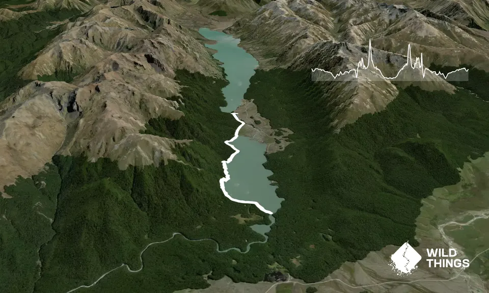
South Mavora Lake Trail
Last Updated: 21st Sep 2023
Open
Grunt Factor: 12 ?
Gnarl Factor: 30 ?
10.5km
115m
115m
637m
Trail Map
This Topo layer only covers NSW/ACT.
Switch to another map layer when viewing outside this area.
Switch to another map layer when viewing outside this area.


