Last Updated: 21st Sep 2023
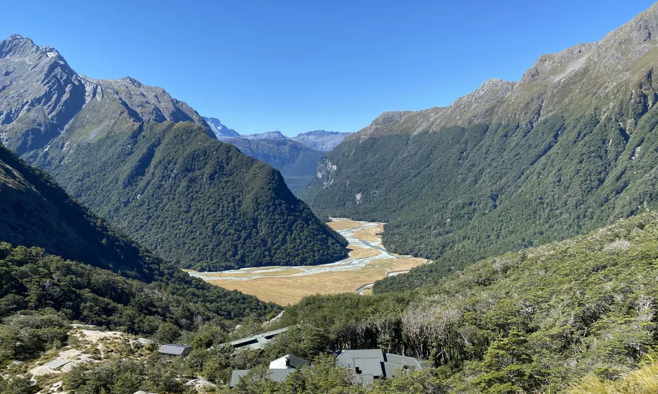
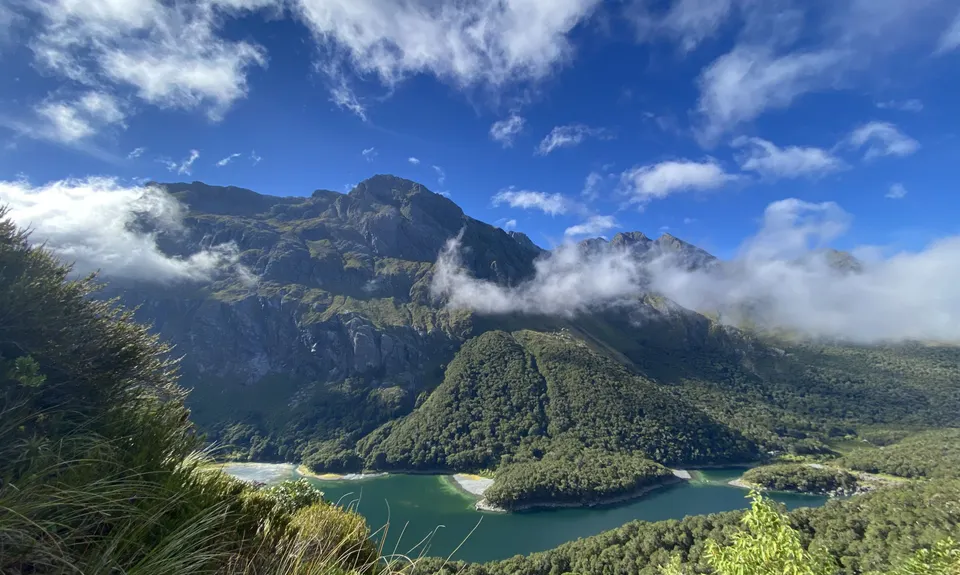
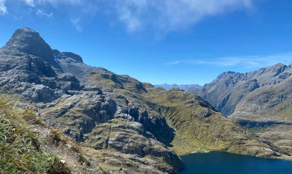
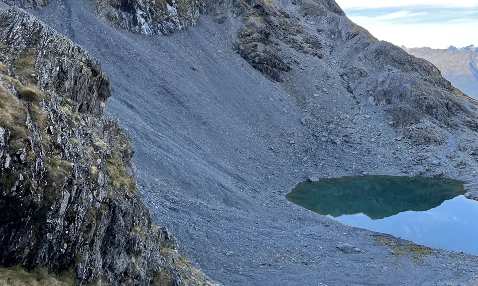
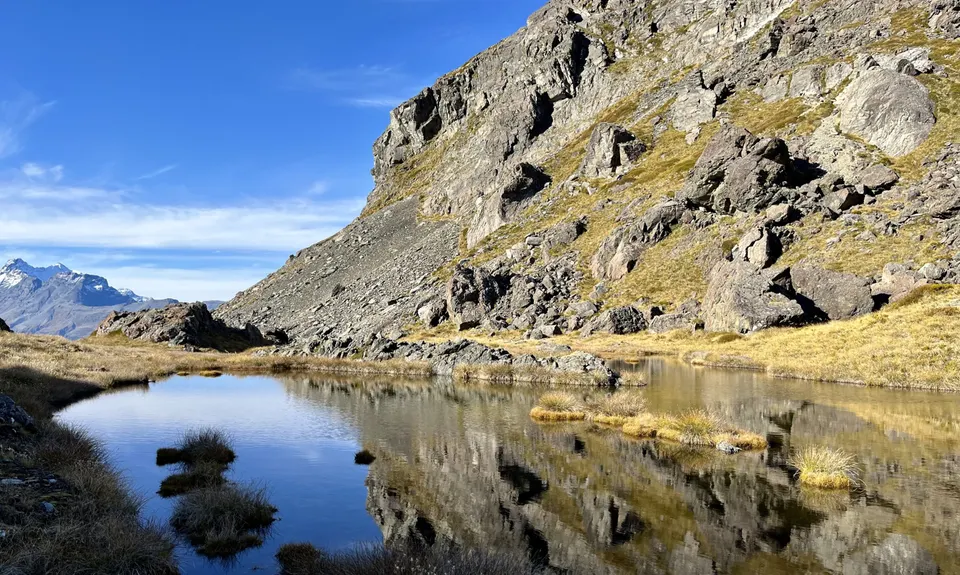
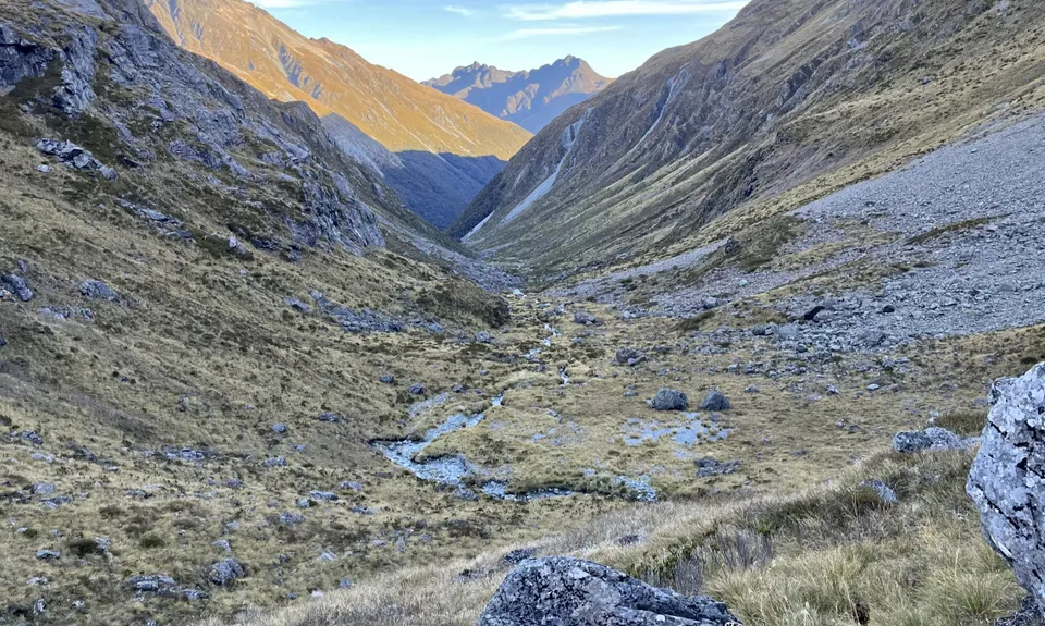
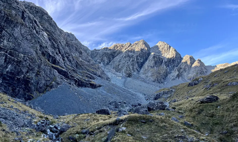
Ailsa - Humboldt Circuit
Last Updated: 21st Sep 2023
Open
Grunt Factor: 136 ?
Gnarl Factor: 73 ?
64.0km
3500m
3500m
1500m

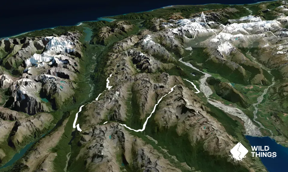
Trail Map
This Topo layer only covers NSW/ACT.
Switch to another map layer when viewing outside this area.
Switch to another map layer when viewing outside this area.


