Last Updated: 4th Dec 2025
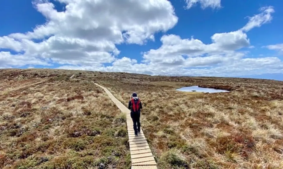
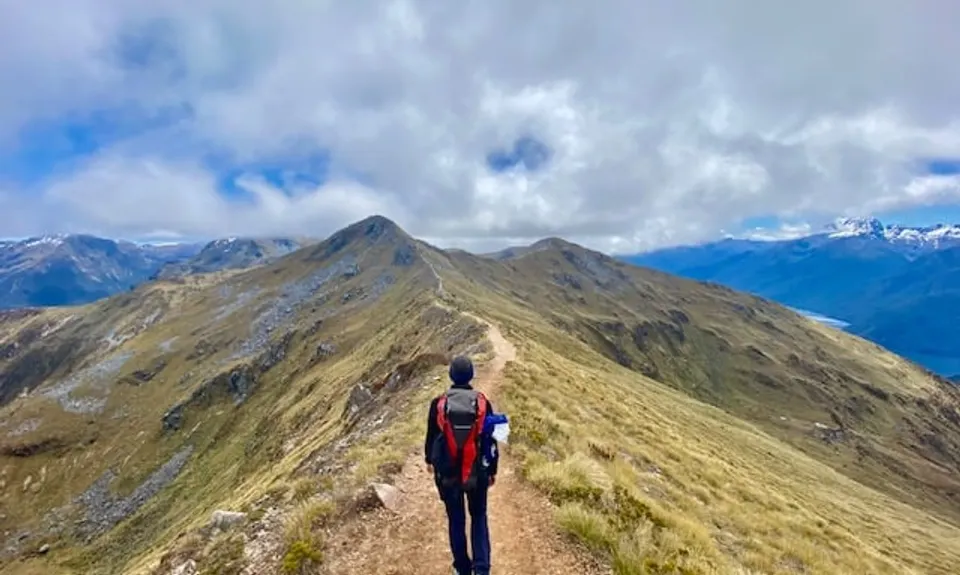
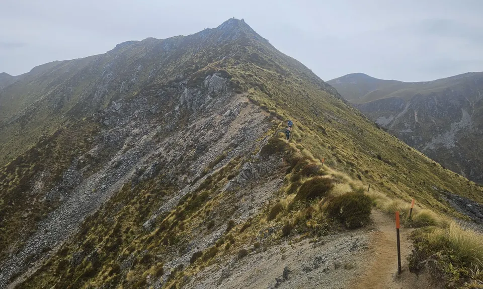
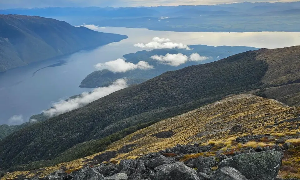
Kepler Track
Last Updated: 4th Dec 2025
Open
Grunt Factor: 81 ?
Gnarl Factor: 23 ?
60.1km
2050m
2050m
1403m


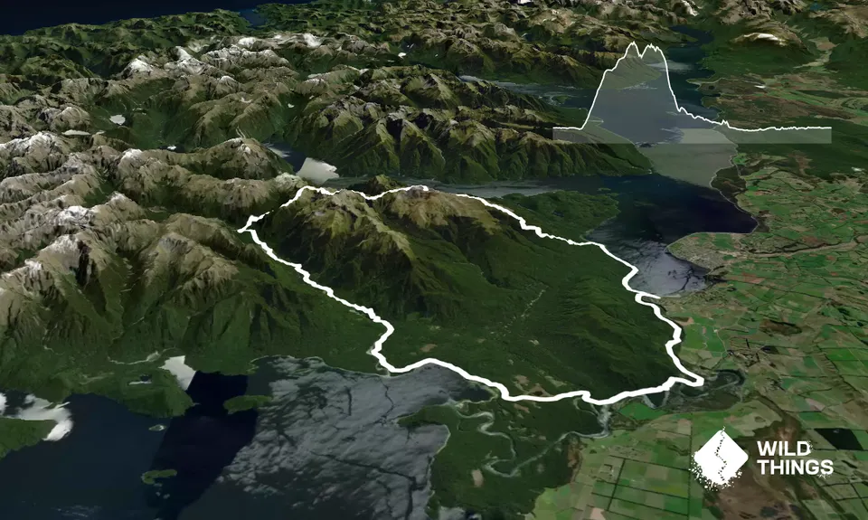
Trail Map
This Topo layer only covers NSW/ACT.
Switch to another map layer when viewing outside this area.
Switch to another map layer when viewing outside this area.