Last Updated: 30th Dec 2023
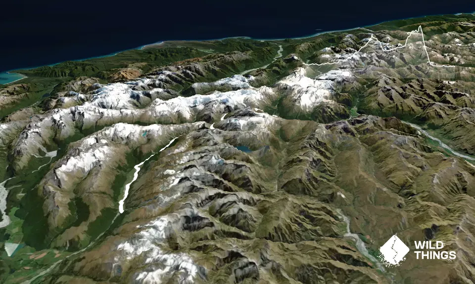
Rees - Cascade
Last Updated: 30th Dec 2023
Open
Grunt Factor: 96 ?
Gnarl Factor: 45 ?
55.0km
2700m
2700m
1780m
Trail Map
This Topo layer only covers NSW/ACT.
Switch to another map layer when viewing outside this area.
Switch to another map layer when viewing outside this area.


