Last Updated: 6th Dec 2025
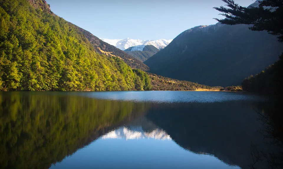
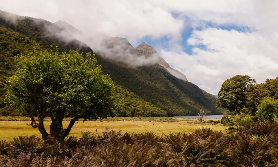
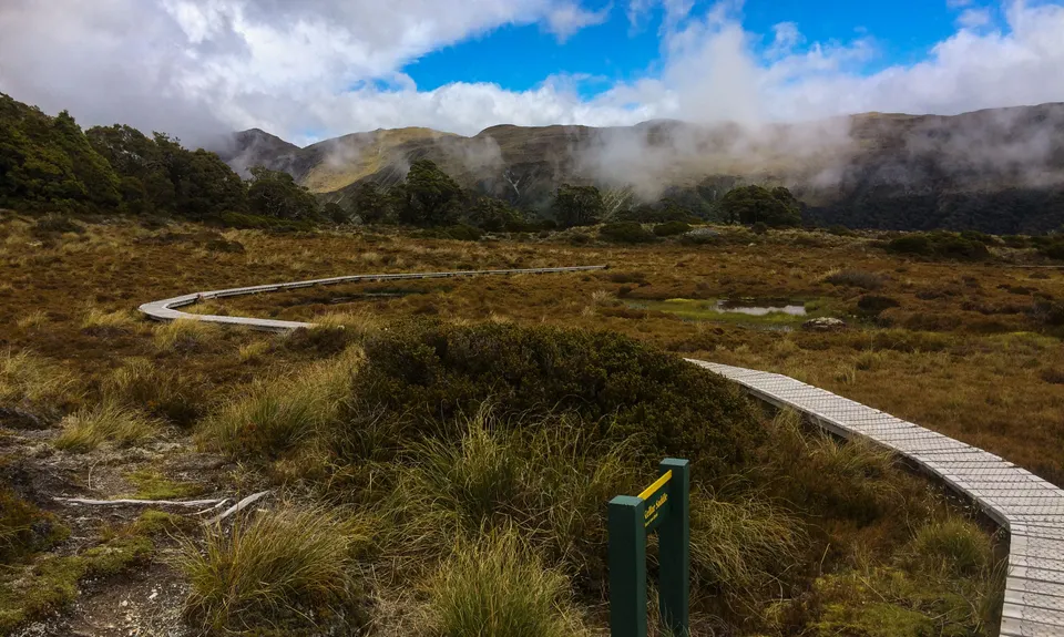
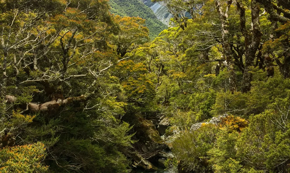
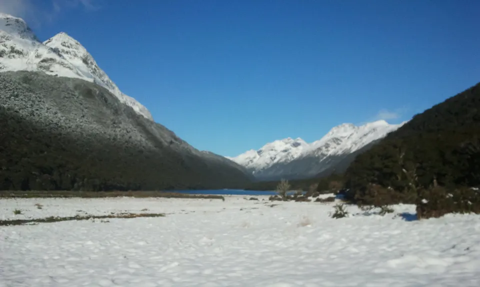
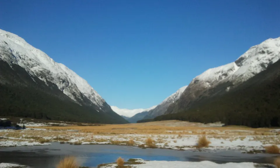
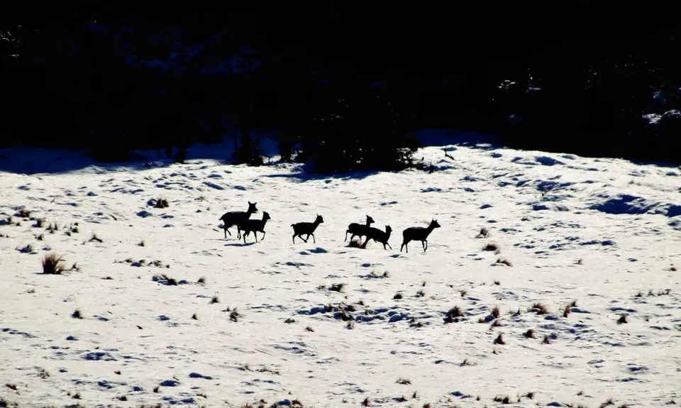
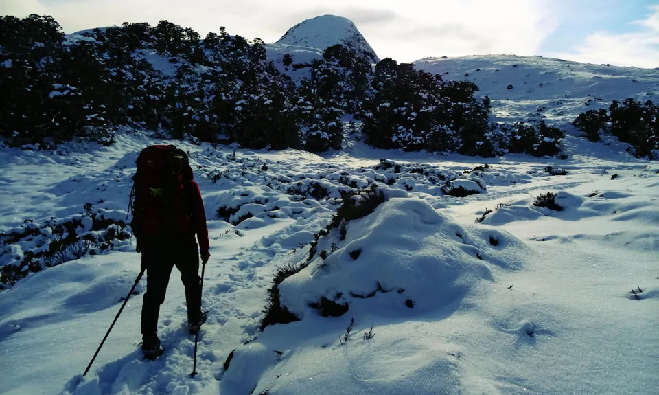
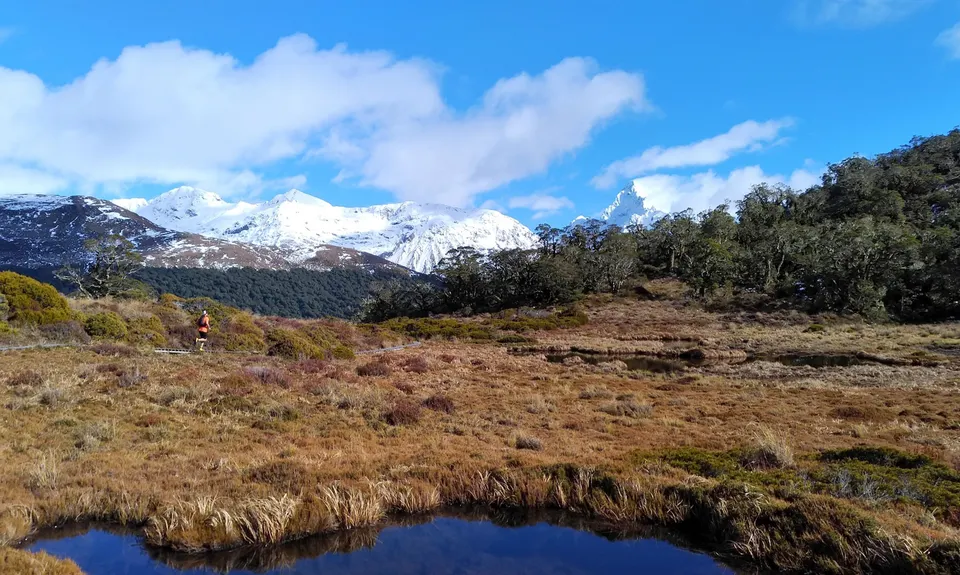
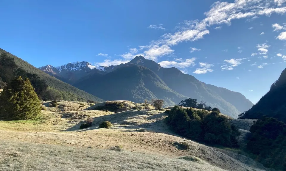
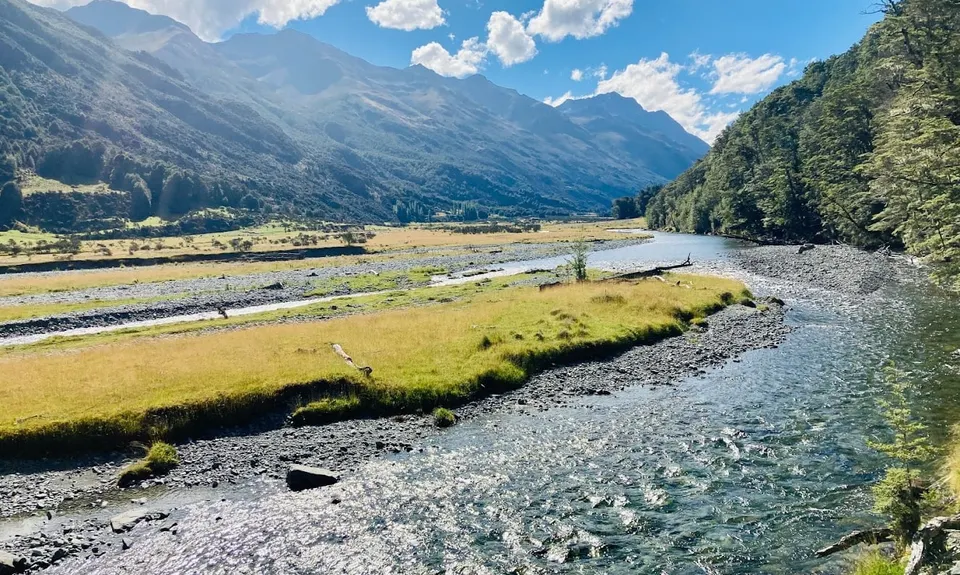
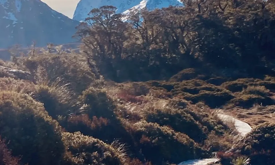
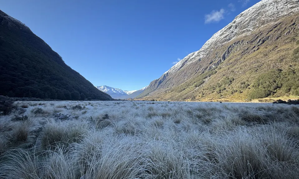
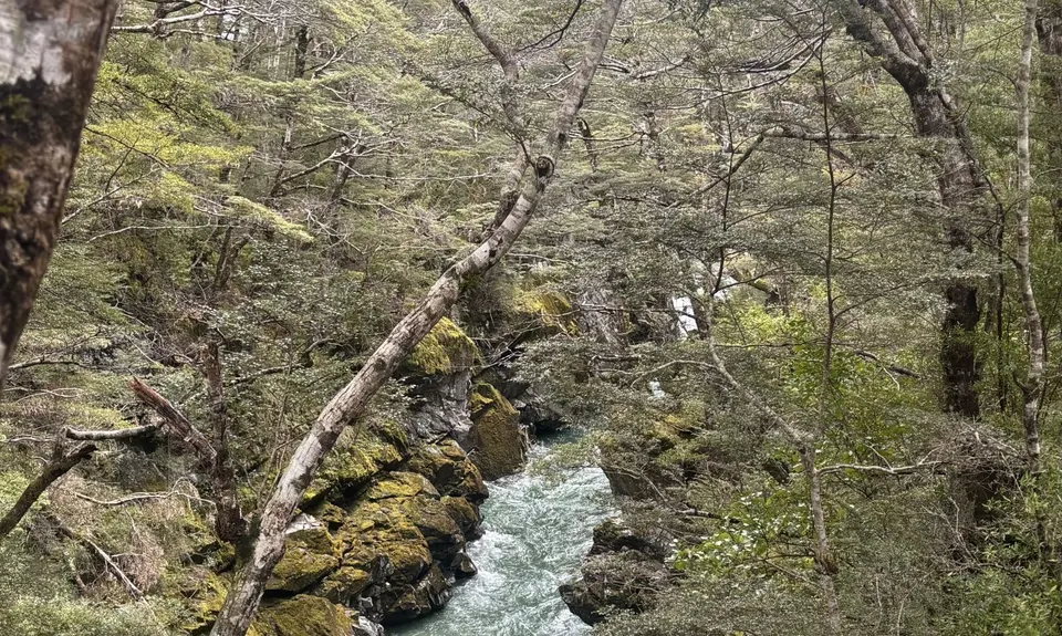
Greenstone/Caples
Last Updated: 6th Dec 2025
Open
Grunt Factor: 86 ?
Gnarl Factor: 41 ?
61.0km
1700m
1700m
996m

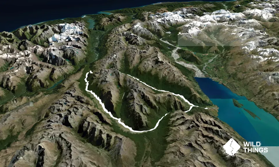
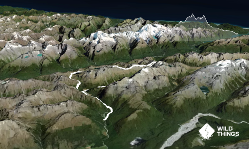
Trail Map
This Topo layer only covers NSW/ACT.
Switch to another map layer when viewing outside this area.
Switch to another map layer when viewing outside this area.