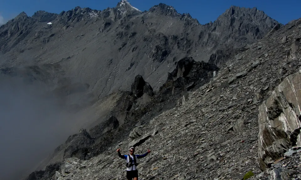
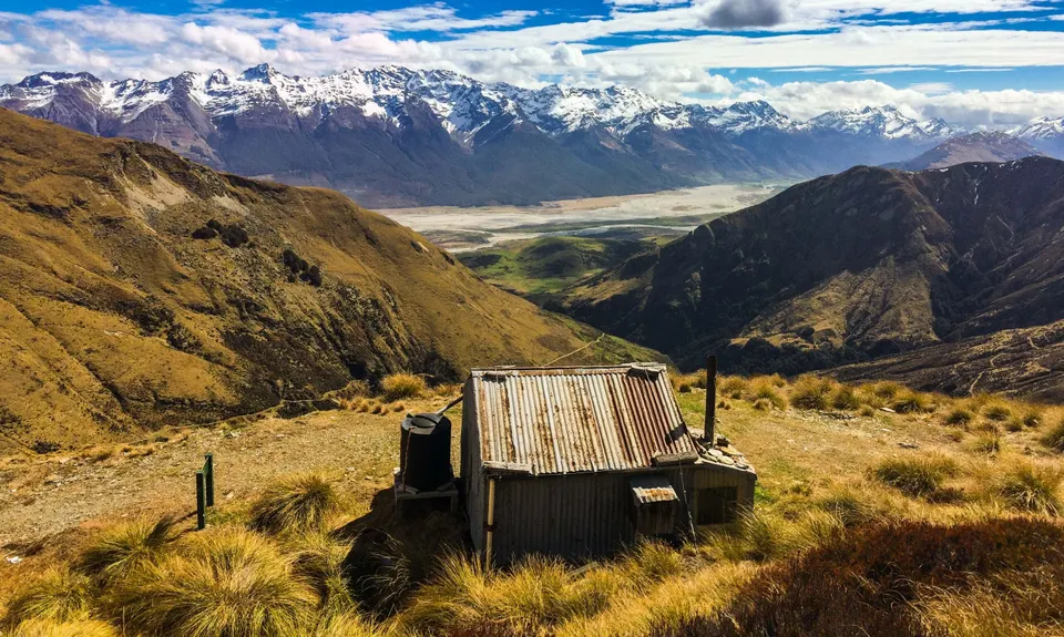
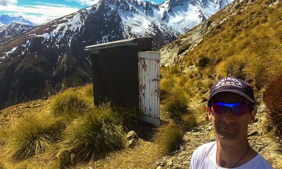
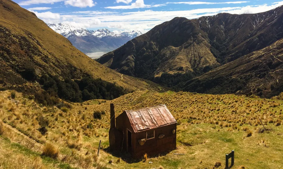
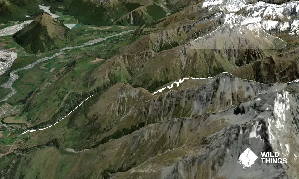
The Royal Richardson TraverseIntermediate - Experienced
Submitted by James Harcombe
Back country - remote
Out and Back
Mountainous
Open tussock/grasslandsOpen ridges/tops
Intermediate - Experienced
8:00 (Slow)
6:00 (Moderate)
3:30 (Fast)
-16.8%
+15.7%
Fastest Known Times (FKTs)
Please set your gender to see your position on the FKT leaderboards.
Men
Women
Filter FKTs
The more , the harder the FKT will be to beat. Learn about Fastest Known Times.
Description
From the car park, follow the signposts towards Heather Jock Hut. This is a fairly consistent 1200m climb. Once at the hut, head up to the ridge line to the South East. You should be able to pick up the old mining track that leads towards Avalanche Slip Hut (now a ruin, 'cause it got hit by an avalanche!) This section of track is washed out in places and should be crossed with care! Once clear of the flanks of Mt. Alaska, the track joins an old water race - the fastest part of the course! At the clearing towards the end of the water race, you will need to head SE up the very steep ridgeline, then head right along the ridge as far as Dwell Hut. If you have the time and energy, Mt.Larkins can be summited from here (allow an extra 3 hours). Return from the hut the same way. A more direct descent is possible down the scree slope before the ridge you ascended (recommended if you like that sort of thing!) Re-join the water race, but after crossing Avalanche Slip, head South West towards the top of Mt. Alaska. Once at the top, follow the ridge down to the North West to re-join the track to Heather Jock Hut (more awesome scree!) From the hut, retrace your steps to the car park.
Trail Community
Features of interest
The lower track passes through scheelite mines and restored historic cottages. Plenty of DOC information along the way describing the rich history of the area.
Make Up of Run
Untracked / Route only: 40%
Technical Single Track: 40%
Farm Road / 4WD Track: 20%
Route Data
Reviews:
Photos:
Your Trail Wishlist
All the runs that are on your To Do list (no limit).
Add to wishlist view wishlistWild Explorers
I did it!-
Access
Whakaari Conservation Area Car Park. A couple of k's before Glenorchy, on the right, coming from Queenstown. The car park entrance is just before the last descent into Glenorchy township.
Plenty of parking at the Whakaari Conservation Area car park.
2 km
2 minutes
No
No
-
Staying Safe
Hard.
This route should only be attempted in clear settled weather. Without line of sight, navigation is extremely difficult, confusing, and only to be undertaken by runners who are very experienced with a map and compass.
Patchy.
Waterproof leggings, Thermal leggings, Lightweight fleece top, Short-sleeved thermal top, Long-sleeved thermal top, Seam-sealed waterproof jacket, Gloves, Beanie/thermal headwear, Personal Locator Beacon (PLB), Whistle, First aid kit, Extra food for emergencies, Survival bag, Cellphone, Compass, Map, Headtorch and spare batteries, Crampons / microspikes (for winter conditions).
Plenty of small streams along the way that are safe for drinking.
Very exposed terrain! Only passable in the Summer months. In Winter, there is significant avalanche hazard and deep snow.
Avalanche prone after heavy snow and in the spring. Steep drop offs and cliffs.
-
Post run indulgence
Glenorchy Cafe
Glenorchy
Great coffee and crumble! -
Sponsor this trail