Last Updated: 20th Apr 2026
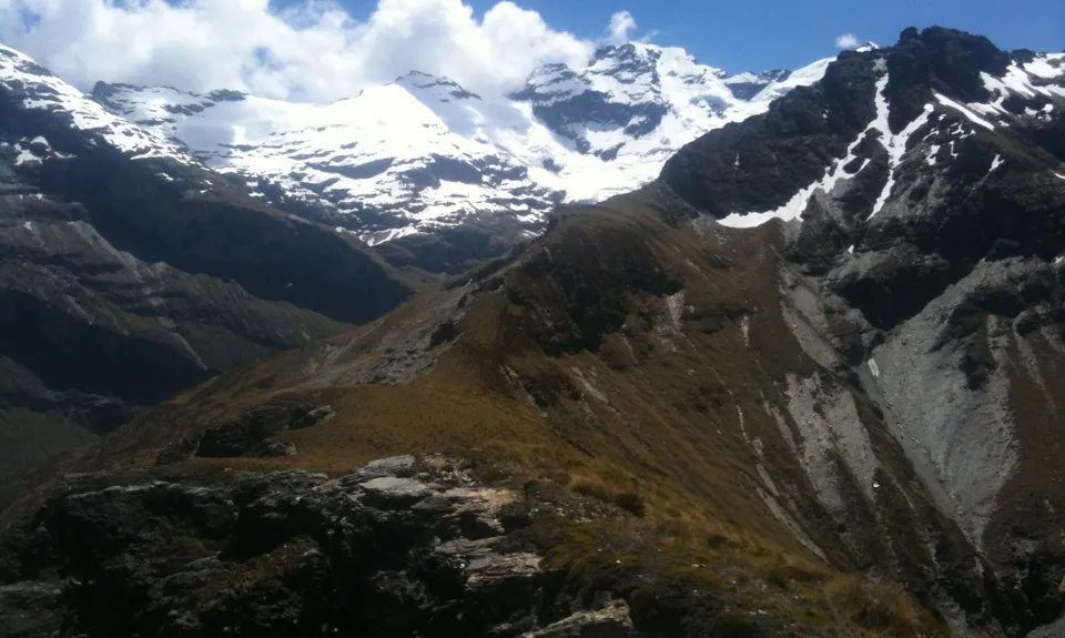
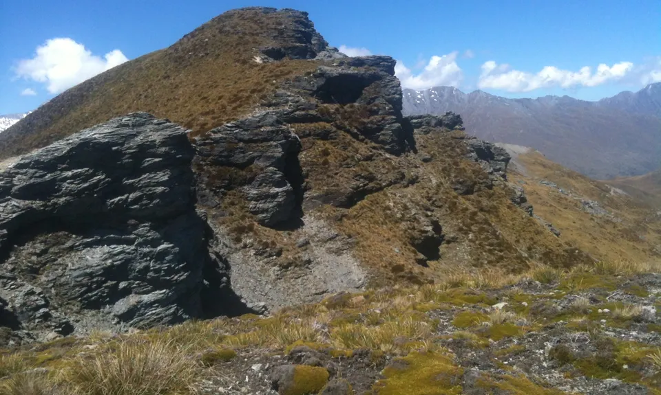
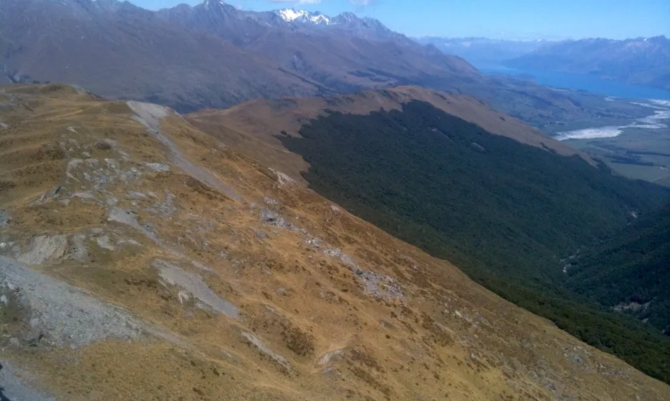
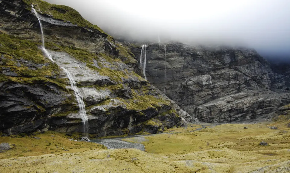
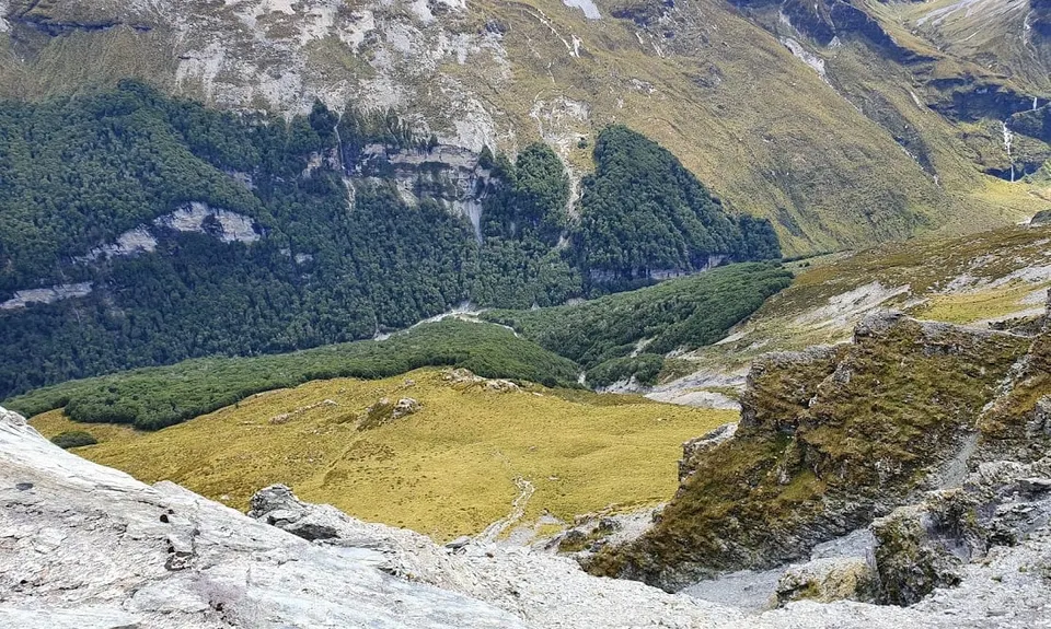
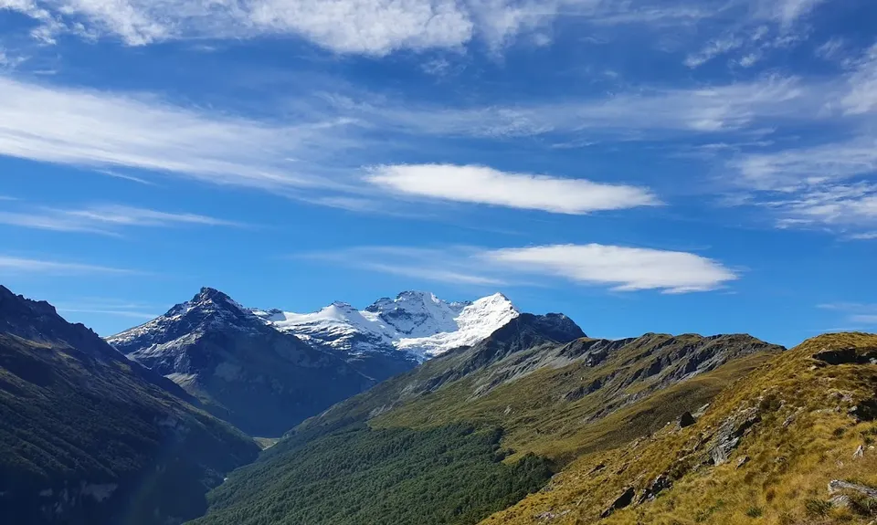
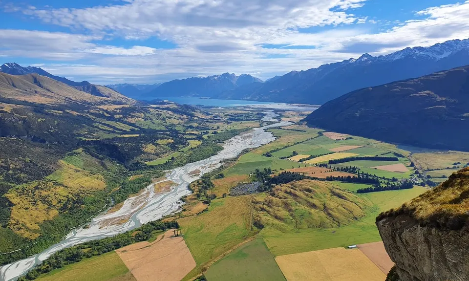
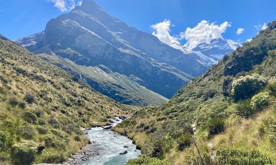
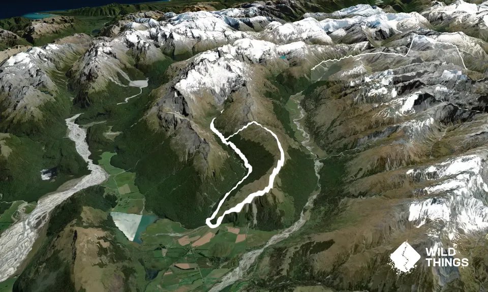
Earnslaw Burn Circuit
Last Updated: 20th Apr 2026
Open
Grunt Factor: 65 ?
Gnarl Factor: 82 ?
25.0km
1600m
1600m
1580m
Trail Map
This Topo layer only covers NSW/ACT.
Switch to another map layer when viewing outside this area.
Switch to another map layer when viewing outside this area.


