Last Updated: 10th Jul 2024
Rising Trout
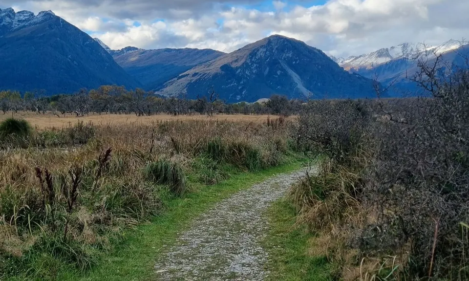
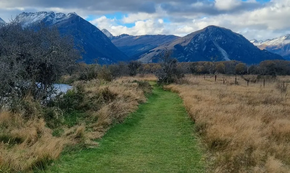
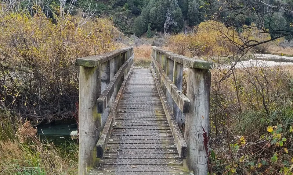
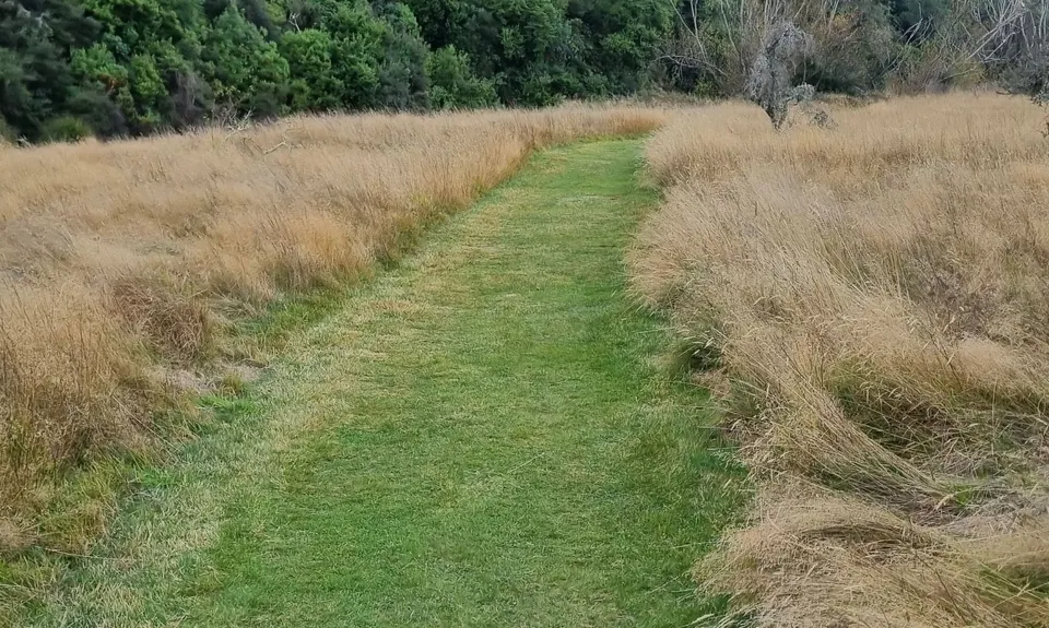
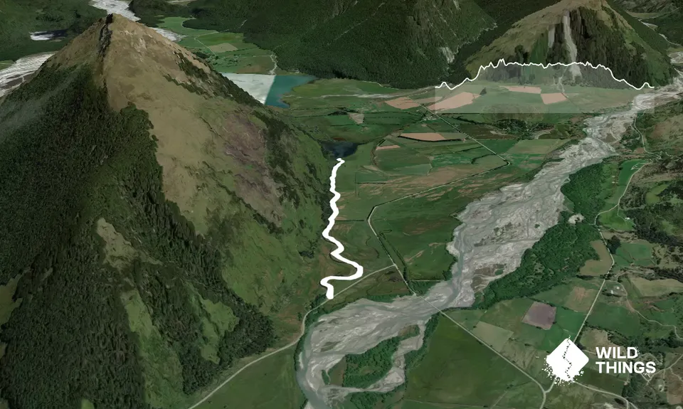
Diamond Creek to Lake Reid
Diamond Creek Track
Last Updated: 10th Jul 2024
Grunt Factor: 6 ?
Gnarl Factor: 8 ?
5.7km
45m
55m
Trail Map
This Topo layer only covers NSW/ACT.
Switch to another map layer when viewing outside this area.
Switch to another map layer when viewing outside this area.


