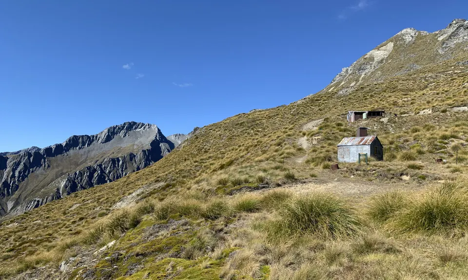
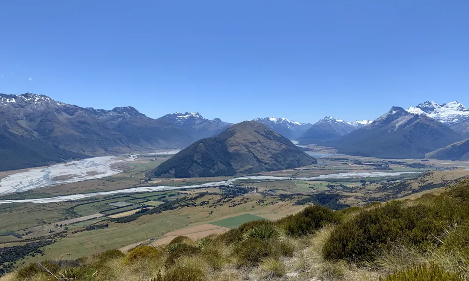
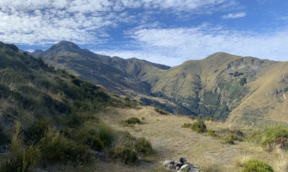
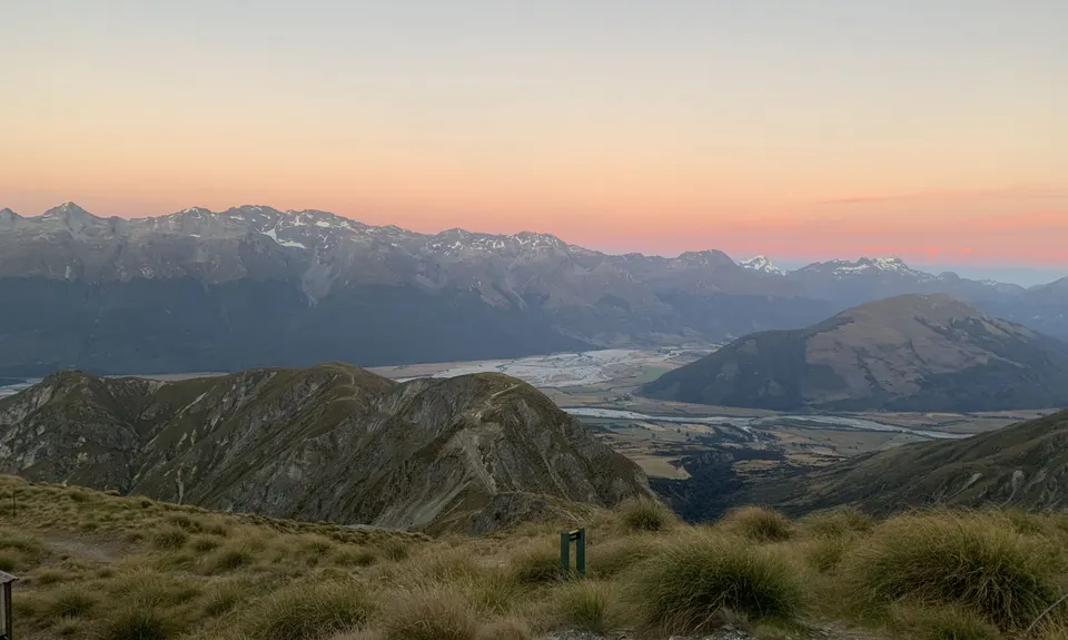
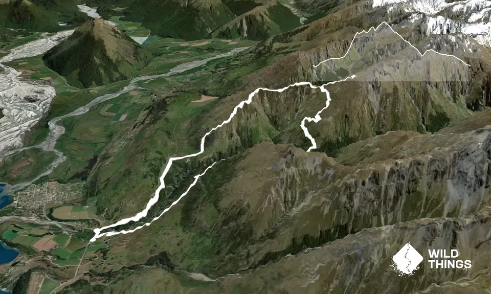
McIntosh - Judah Loop Beginner - Intermediate
Submitted by Lauren Mai Anderson
Front country - easily accessible
Loop
Very hilly
Open farmlandsOpen tussock/grasslandsOpen ridges/tops
Beginner - Intermediate
5:00 (Slow)
4:00 (Moderate)
3:00 (Fast)
-17.0%
+17.0%
Fastest Known Times (FKTs)
Please set your gender to see your position on the FKT leaderboards.
The more , the harder the FKT will be to beat. Learn about Fastest Known Times.
Description
From the car park head along the road toward Glenorchy for around 250m, cross over the bridge and look for footsteps up the bank on the right hand side of the road and find the official track signage, which isn’t viewable from the road.
Follow the water race, and cross a small stream then continue to follow the fence line up a very steep hill for around 2km (this climb will take the best part of an hour!)
Continue to follow the fence line and then head along the ridgeline. At the sign head up to McIntosh hut, then retrace your steps to the junction and head to McIntyre hut.
Continue down the hill to cross Buckler Burn (impassable after heavy rain) then back up the other side to meet the Judah track. If you still have it in your legs you can turn left and tack on the Heather Jock Loop (extra 5k and 500m vert) otherwise turn right and head back towards the carpark via the historical Smithy Hut, mine, and Scheelite Battery.
Trail Community
Features of interest
Track passes the Glenorchy Scheelite Battery and the State Mine, as well as a number of historical huts.
Make Up of Run
Moderate Single Track: 75%
Farm Road / 4WD Track: 25%
Route Data
Reviews:
Overlapping Runs
The following trails overlap with this run to some degree. You may wish to combine them but please note that to qualify for FKTs on these runs you should record a separate Strava activity for each

The Royal Richardson Traverse
Length: 25.50km
Photos:
Your Trail Wishlist
All the runs that are on your To Do list (no limit).
Add to wishlist view wishlistWild Explorers
I did it!-
Access
Right hand side of the Queenstown-Glenorchy Road, 2 km before Glenorchy, Whakaari Conservation Area car park.
Carpark at beginning of trail for approximately 20 vehicles.
3 km
3 minutes
No
No
-
Staying Safe
Easy.
Easy to follow, just keep your eyes on the orange triangles.
Generally good.
Lightweight fleece top, Seam-sealed waterproof jacket, Windproof jacket, Gloves, Personal Locator Beacon (PLB), Whistle, First aid kit, Extra food for emergencies, Cellphone, Map.
Water available at both McIntosh and McIntyre hut and also from the Buckler Burn river crossing.
Buckler Burn river can be impassable after heavy rain. Can be boggy in patches depending on the weather.
River crossing at around the halfway point that may become impassable after heavy rain
-
Post run indulgence
Mrs Wooleys
Glenorchy
https://mrswoollysgeneralstore.nz/
The perfect pie after a hard few hours in the hills! -
Sponsor this trail