Last Updated: 30th Nov 2024
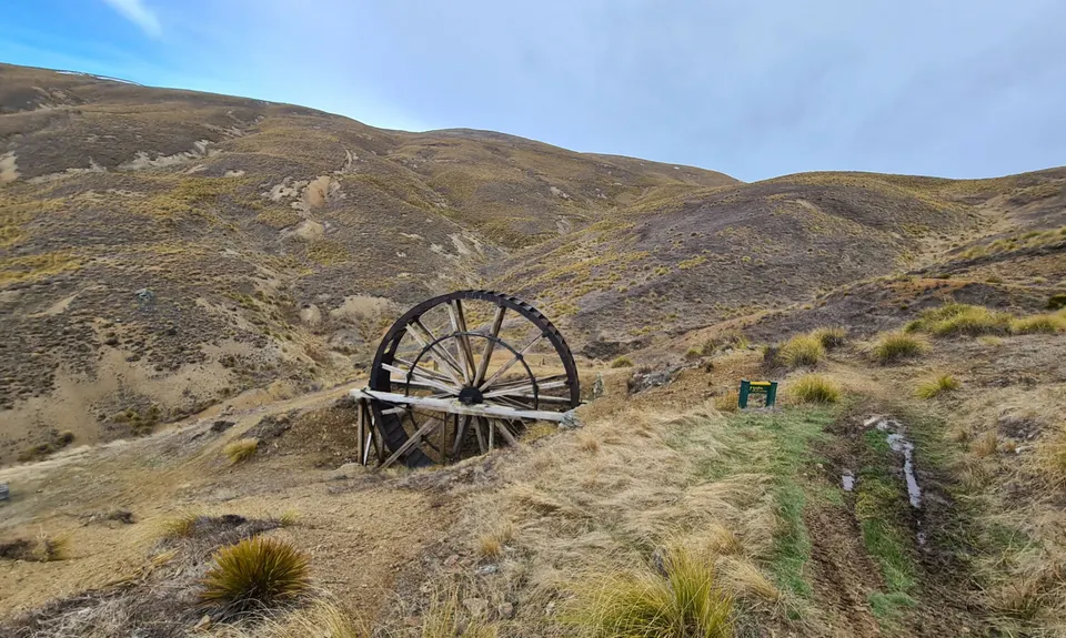
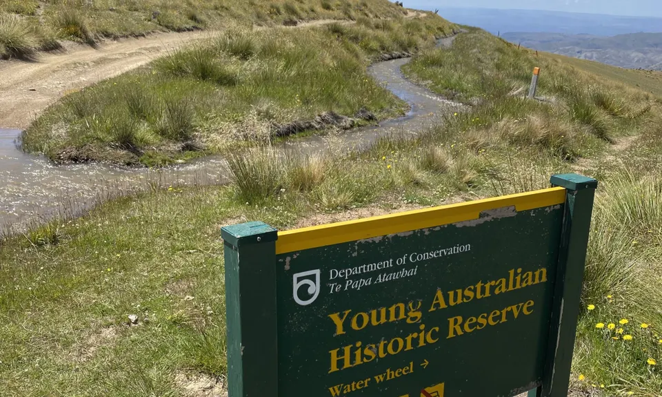
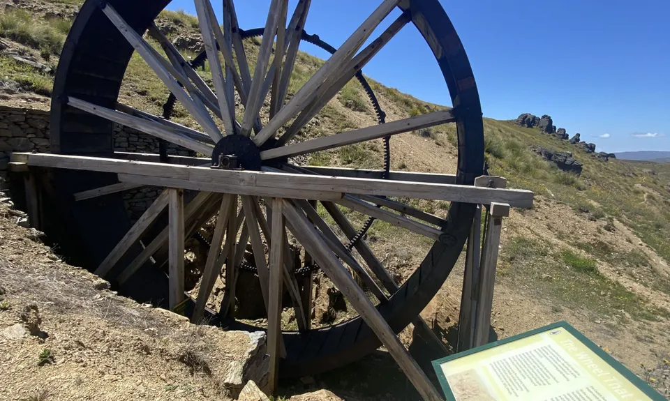
Young Australian
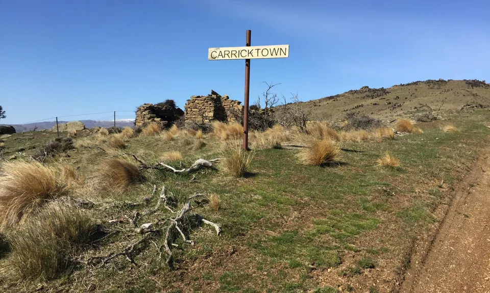
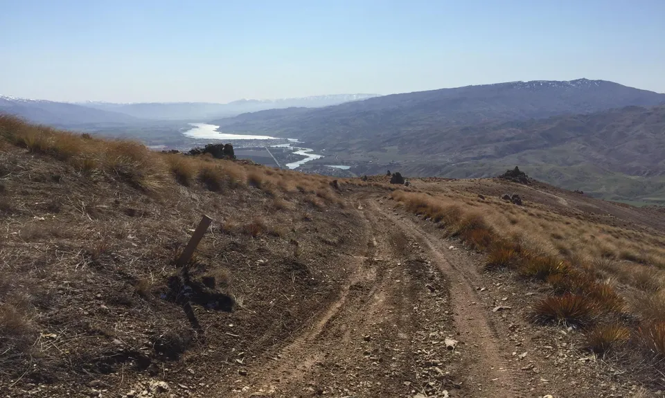
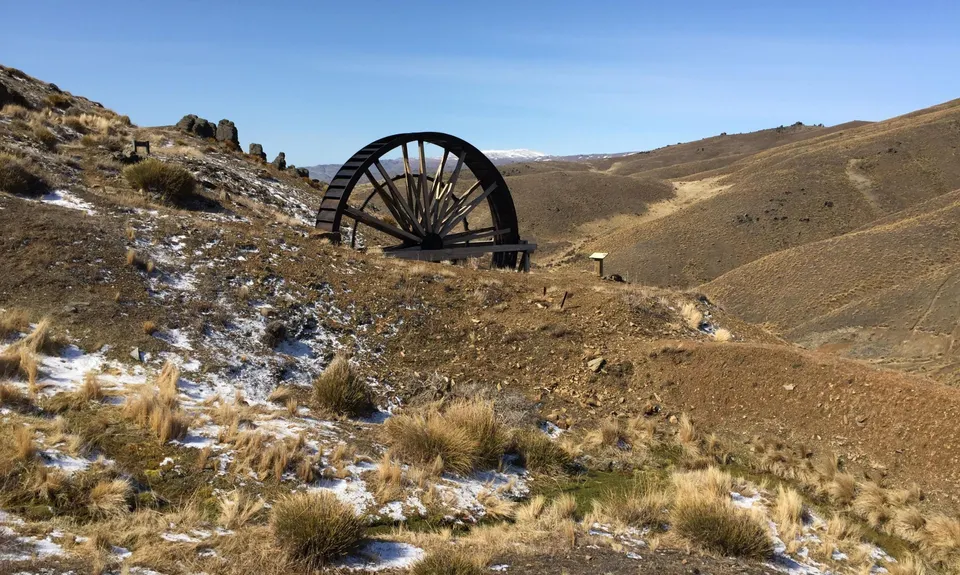
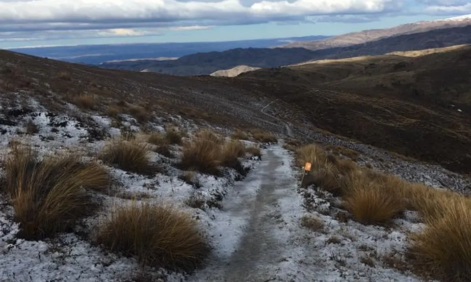
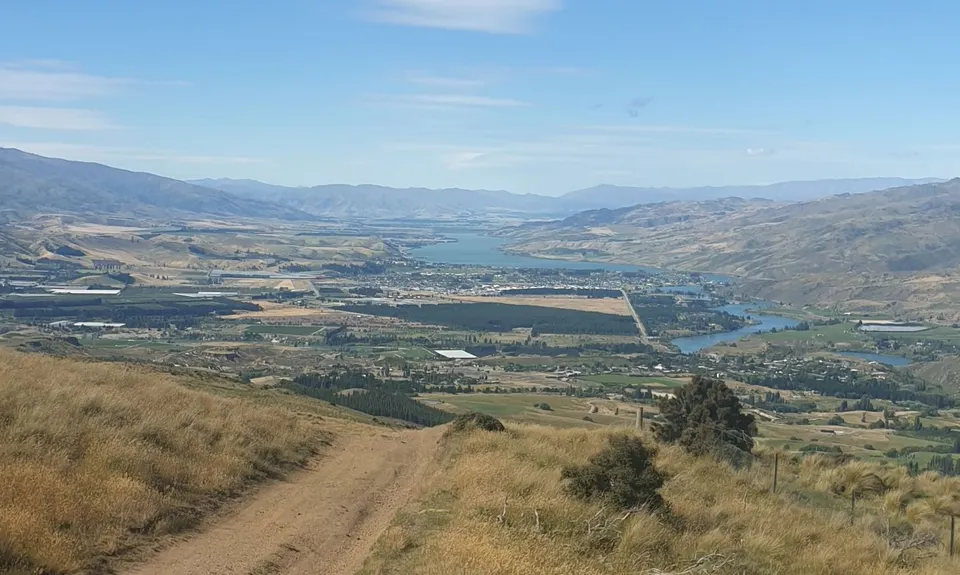
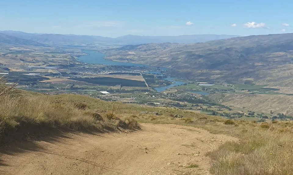
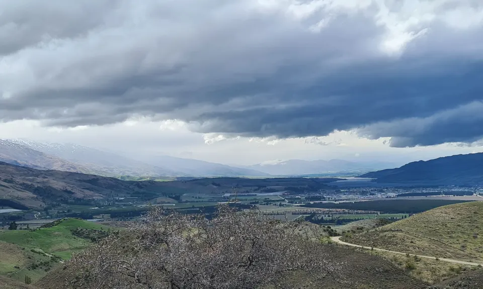
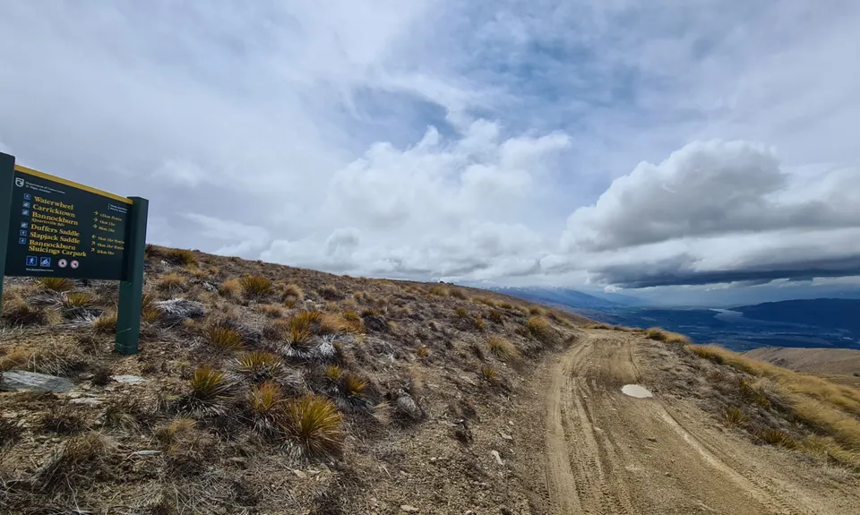
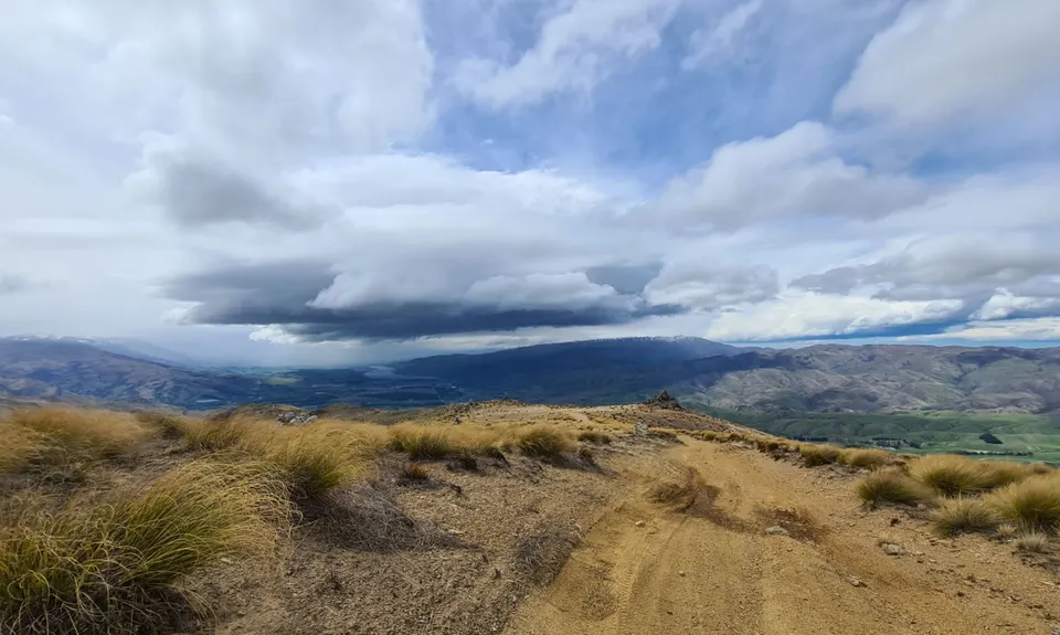
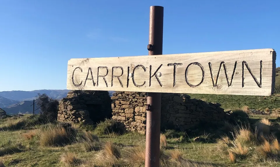
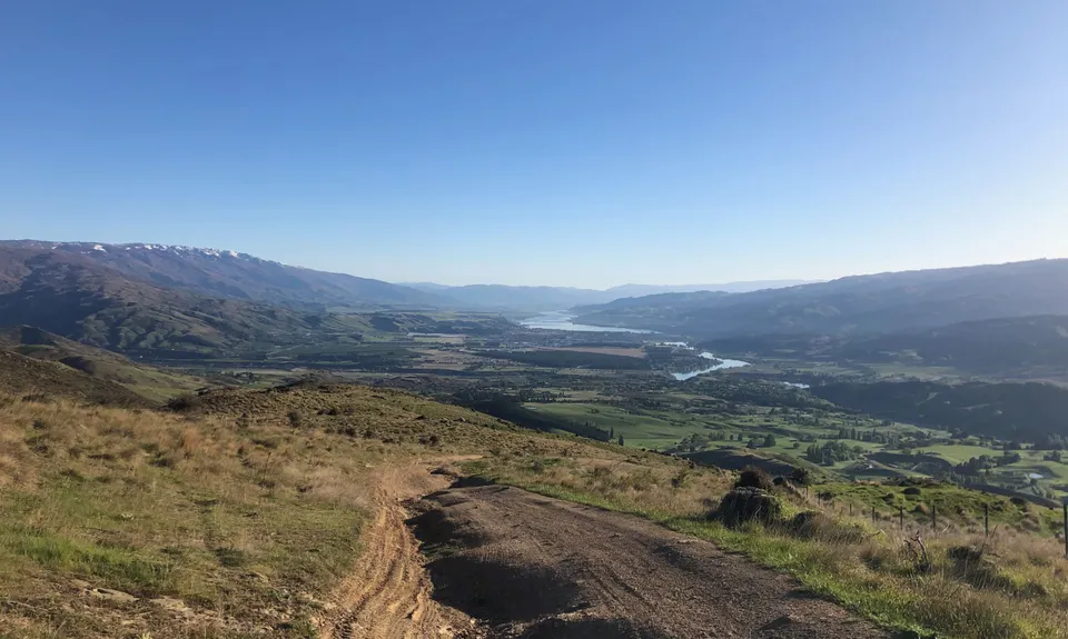
Carricktown Track
Last Updated: 30th Nov 2024
Open
Grunt Factor: 22 ?
Gnarl Factor: 12 ?
14.8km
897m
897m
1122m
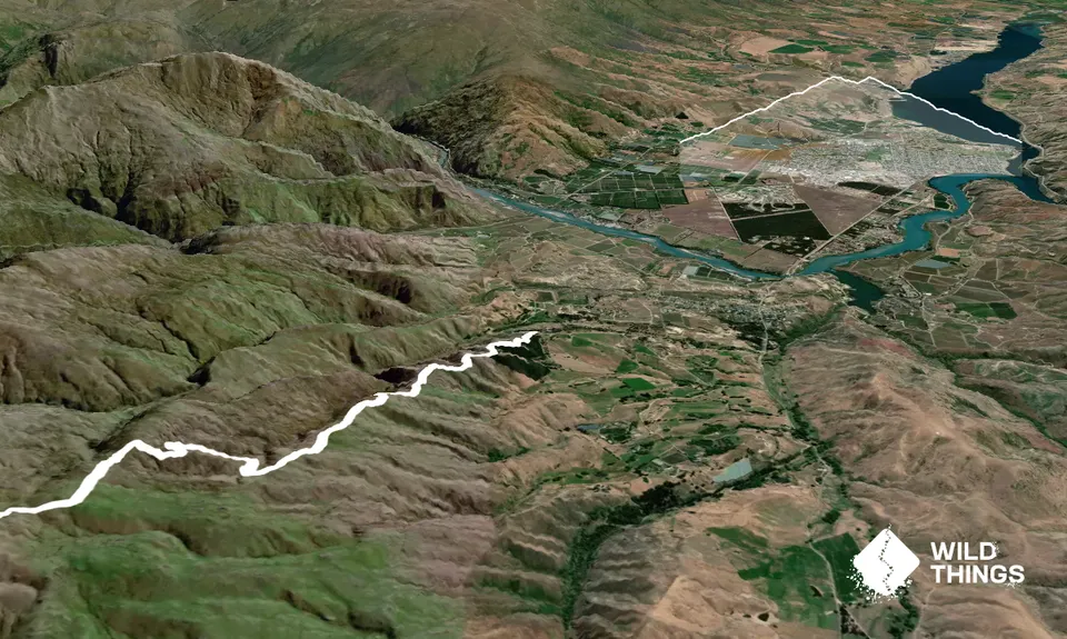
Trail Map
This Topo layer only covers NSW/ACT.
Switch to another map layer when viewing outside this area.
Switch to another map layer when viewing outside this area.


