Last Updated: 21st Sep 2023
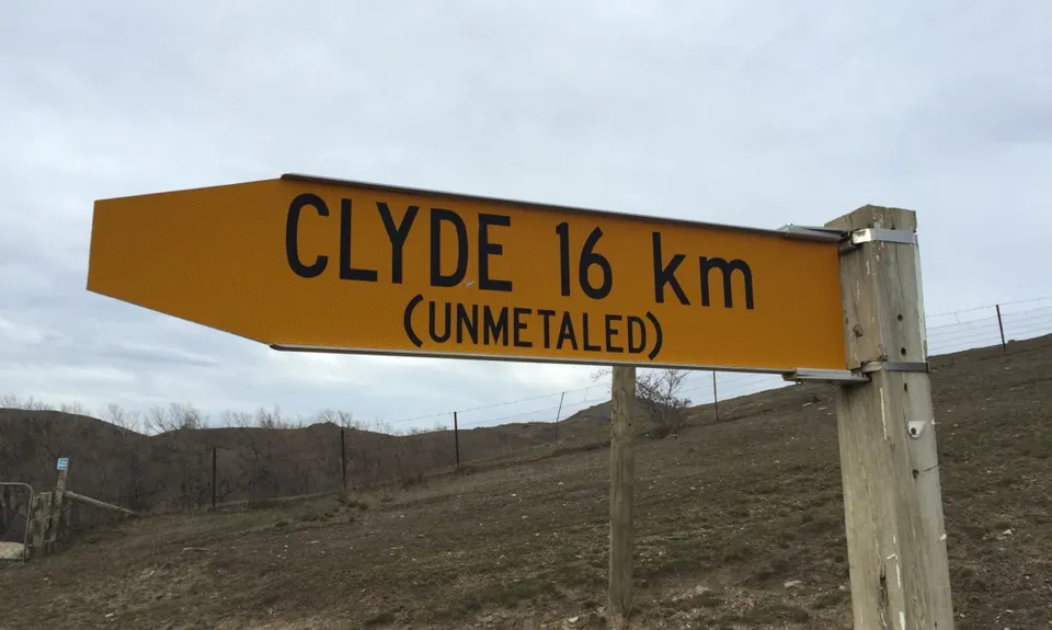
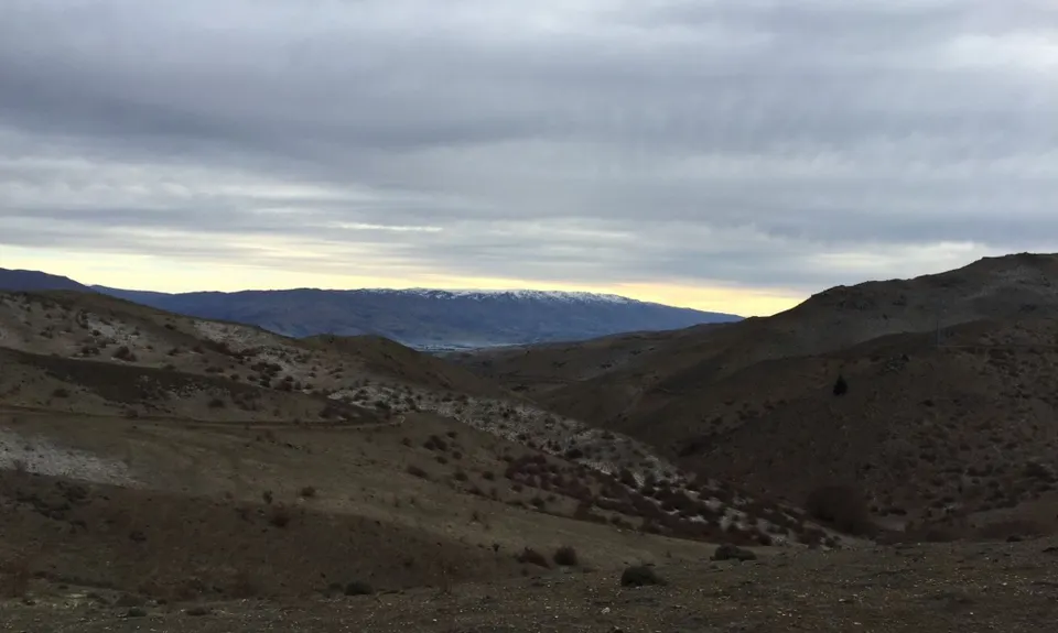
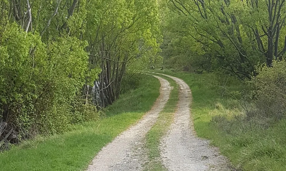
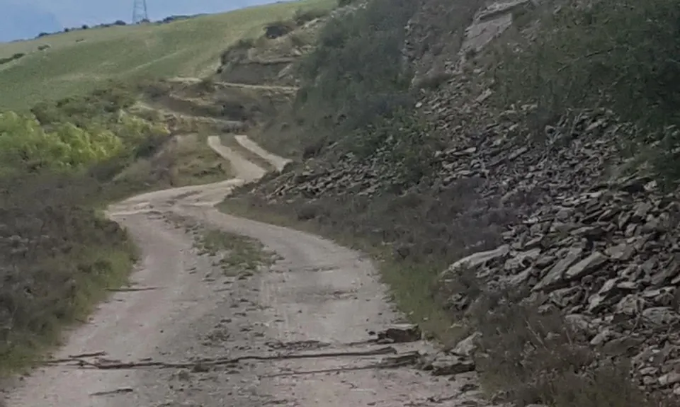
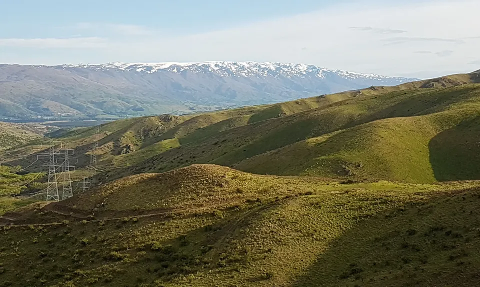
Cromwell to Clyde
Last Updated: 21st Sep 2023
Open
Grunt Factor: 32 ?
Gnarl Factor: 6 ?
36.0km
1057m
1081m
716m

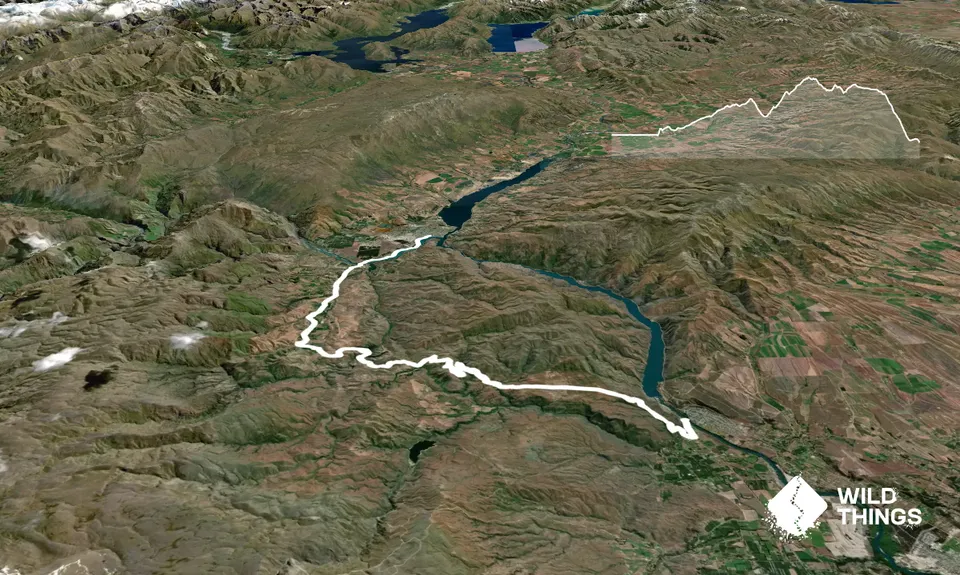
Trail Map
This Topo layer only covers NSW/ACT.
Switch to another map layer when viewing outside this area.
Switch to another map layer when viewing outside this area.


