Last Updated: 26th Dec 2023
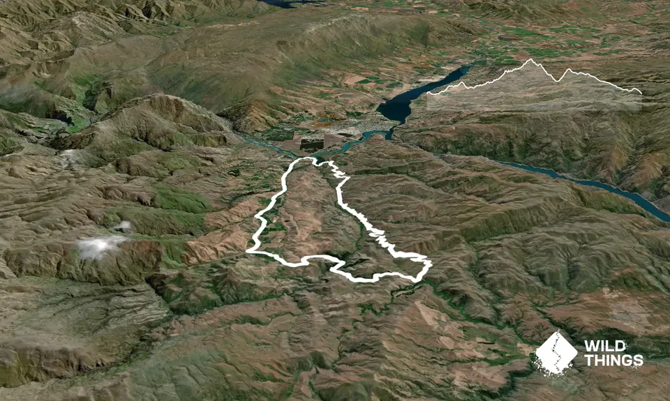
Bannock Burn
Last Updated: 26th Dec 2023
Open
Grunt Factor: 26 ?
Gnarl Factor: 7 ?
31.6km
785m
785m
622m
Trail Map
This Topo layer only covers NSW/ACT.
Switch to another map layer when viewing outside this area.
Switch to another map layer when viewing outside this area.


