Last Updated: 31st Dec 2024
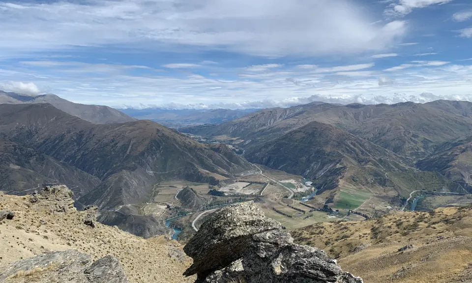
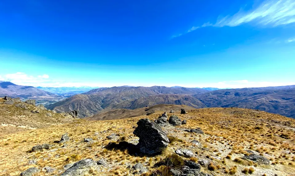
Mt Difficulty Loop
Last Updated: 31st Dec 2024
Grunt Factor: 37 ?
Gnarl Factor: 11 ?
28.3km
1500m
1500m
1281m
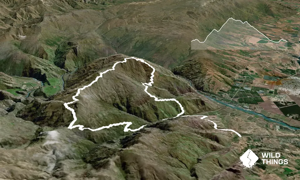
Trail Map
This Topo layer only covers NSW/ACT.
Switch to another map layer when viewing outside this area.
Switch to another map layer when viewing outside this area.


