Last Updated: 11th Dec 2025
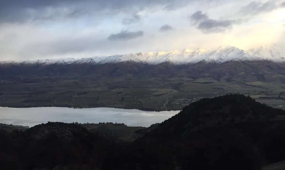
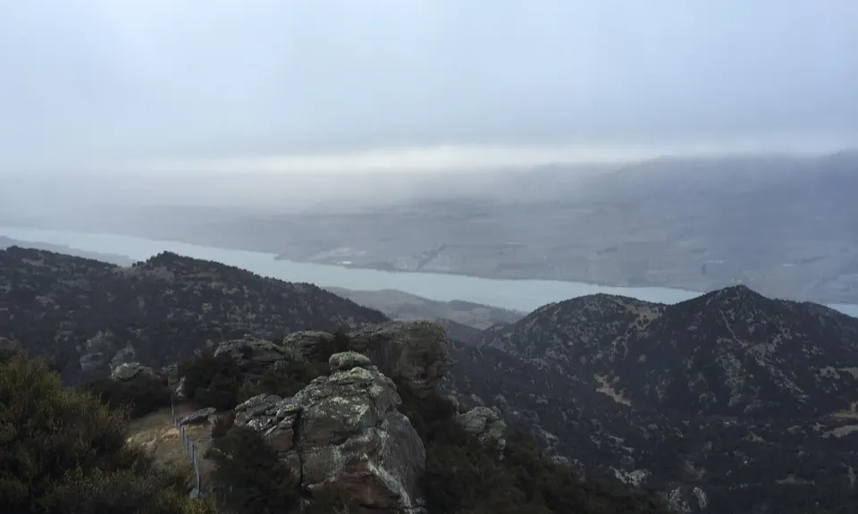
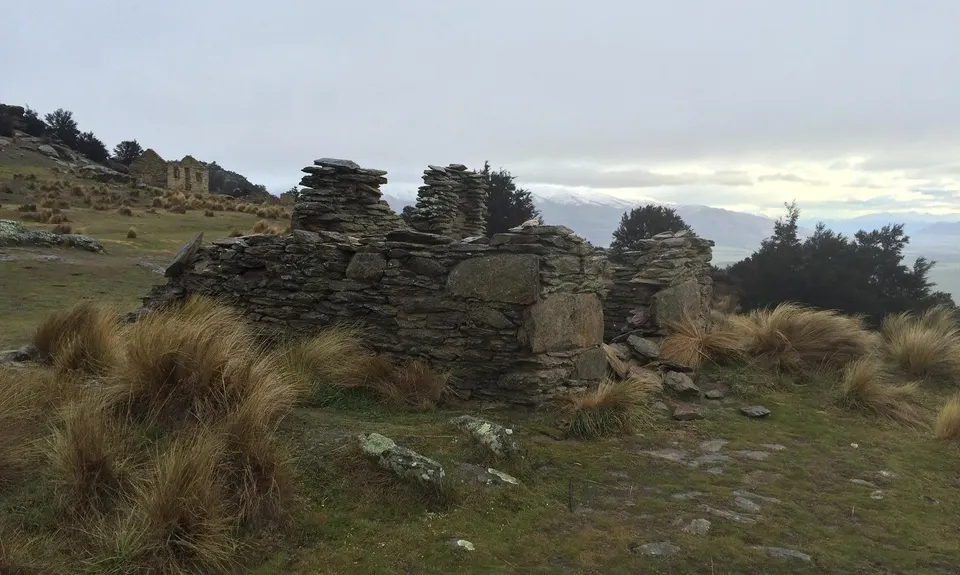
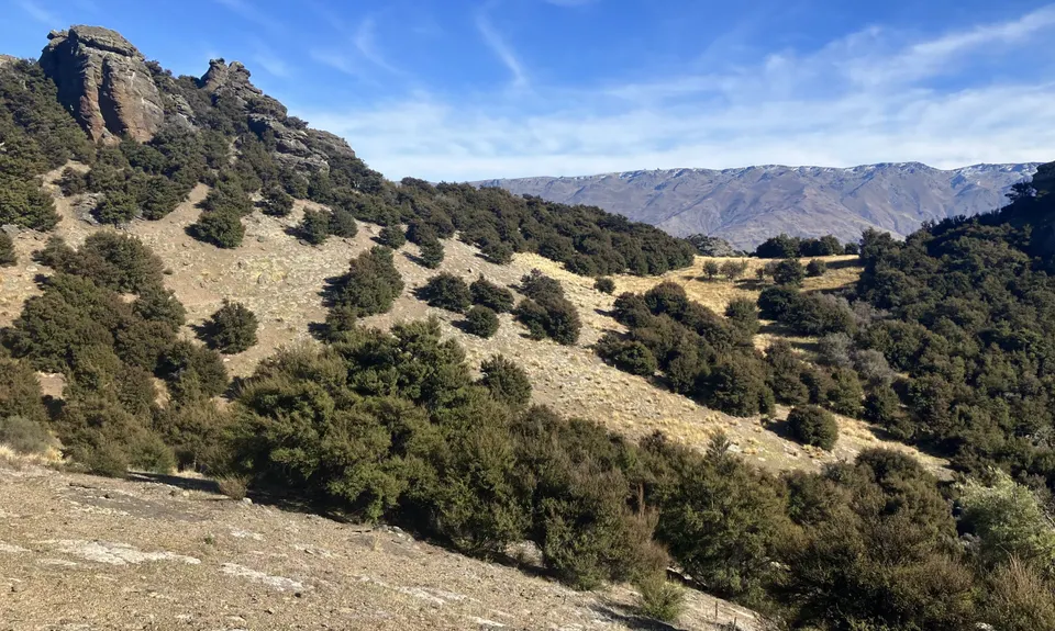
Welshtown via Koinga, Kanuka and Logantown
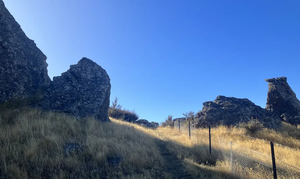
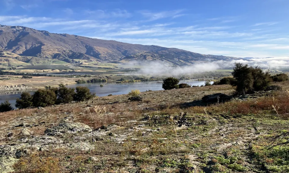
Mount Koinga
Mount Koinga Track, Bendigo Kanuka Track
Last Updated: 11th Dec 2025
Open
Grunt Factor: 21 ?
Gnarl Factor: 45 ?
11.0km
720m
440m
767m
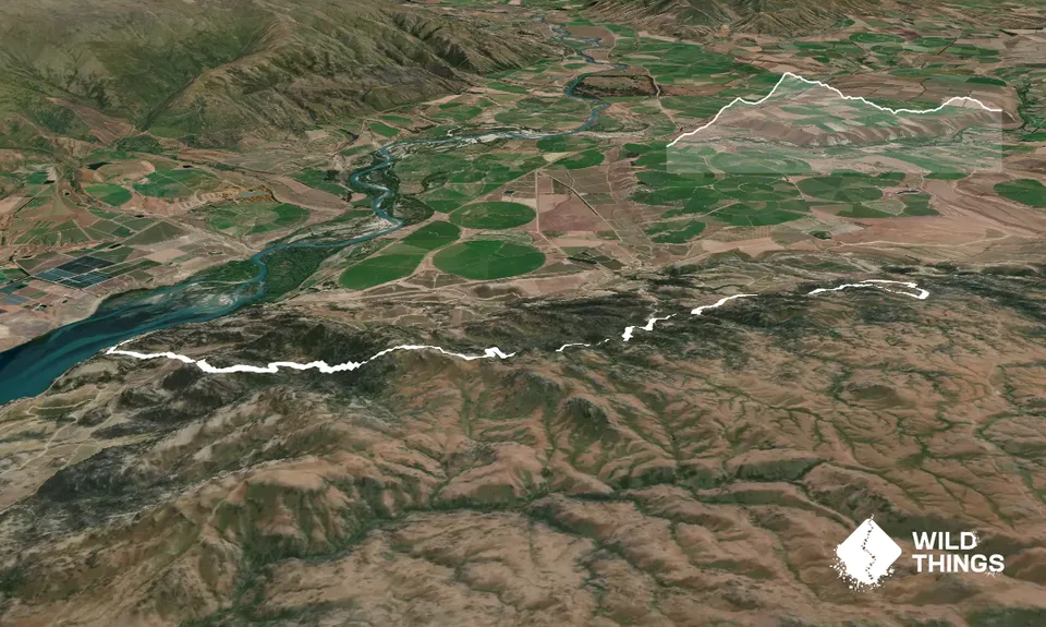
Trail Map
This Topo layer only covers NSW/ACT.
Switch to another map layer when viewing outside this area.
Switch to another map layer when viewing outside this area.


