Last Updated: 22nd Mar 2026
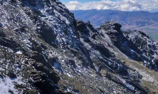
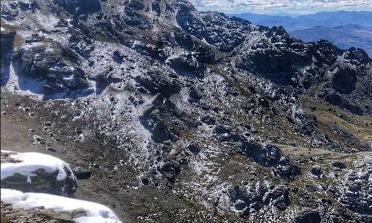
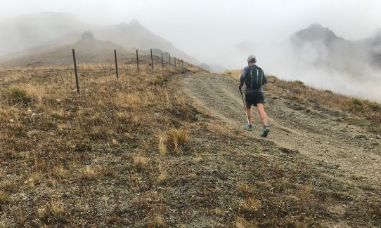
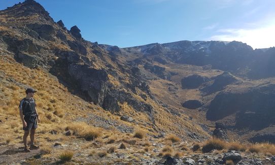
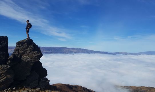
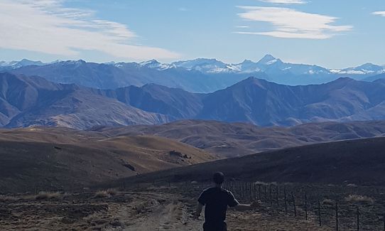
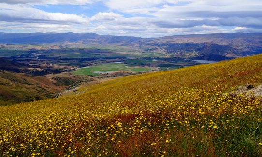
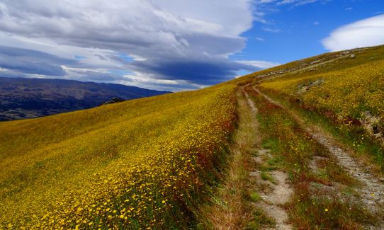
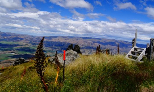
Mt Pisa via Tinwald Burn Ridge
Last Updated: 22nd Mar 2026
Open
Grunt Factor: 40 ?
Gnarl Factor: 23 ?
25.0km
1700m
1700m
1963m


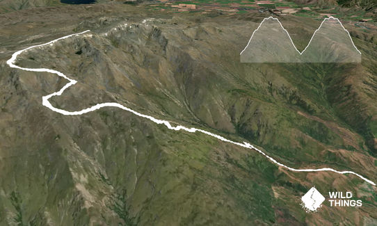
Trail Map
This Topo layer only covers NSW/ACT.
Switch to another map layer when viewing outside this area.
Switch to another map layer when viewing outside this area.