Last Updated: 21st Sep 2023
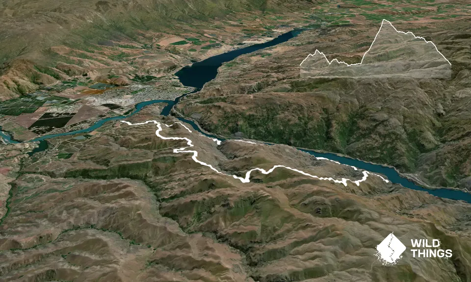
Cromwell Gorge and Cairnmuir Loop
Last Updated: 21st Sep 2023
Grunt Factor: 35 ?
Gnarl Factor: 16 ?
23.4km
1620m
1620m
1001m

Trail Map
This Topo layer only covers NSW/ACT.
Switch to another map layer when viewing outside this area.
Switch to another map layer when viewing outside this area.


