Last Updated: 1st Feb 2024
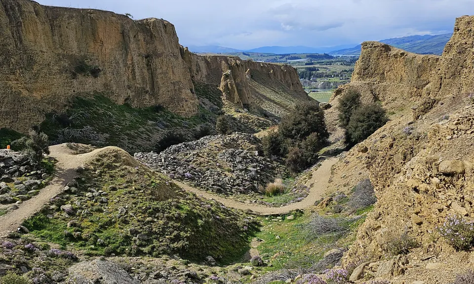
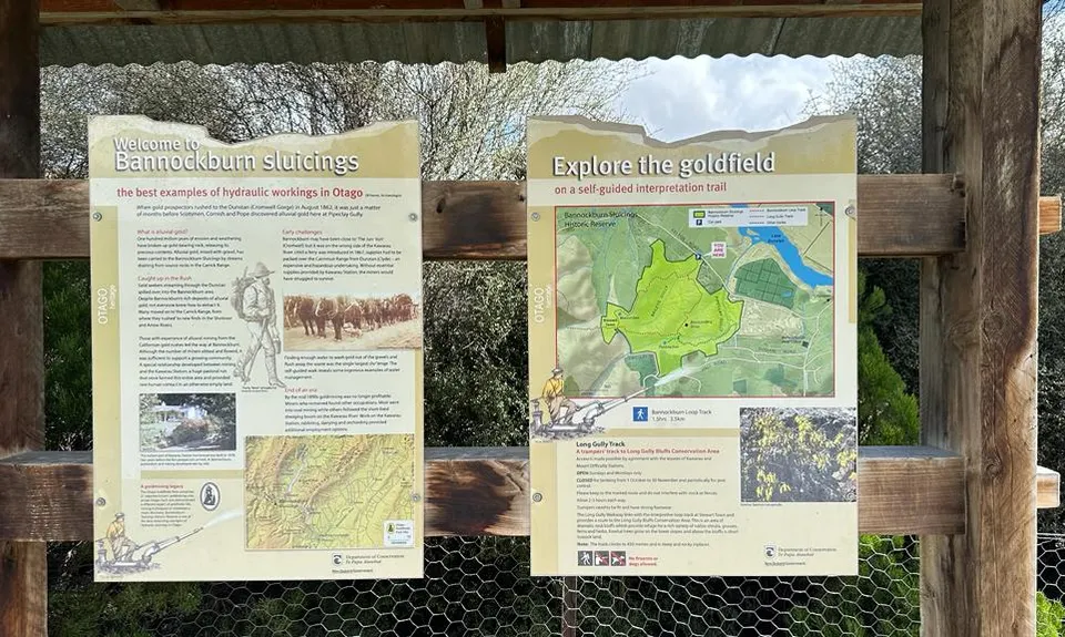
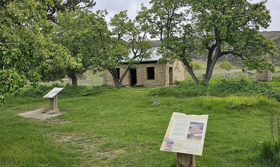
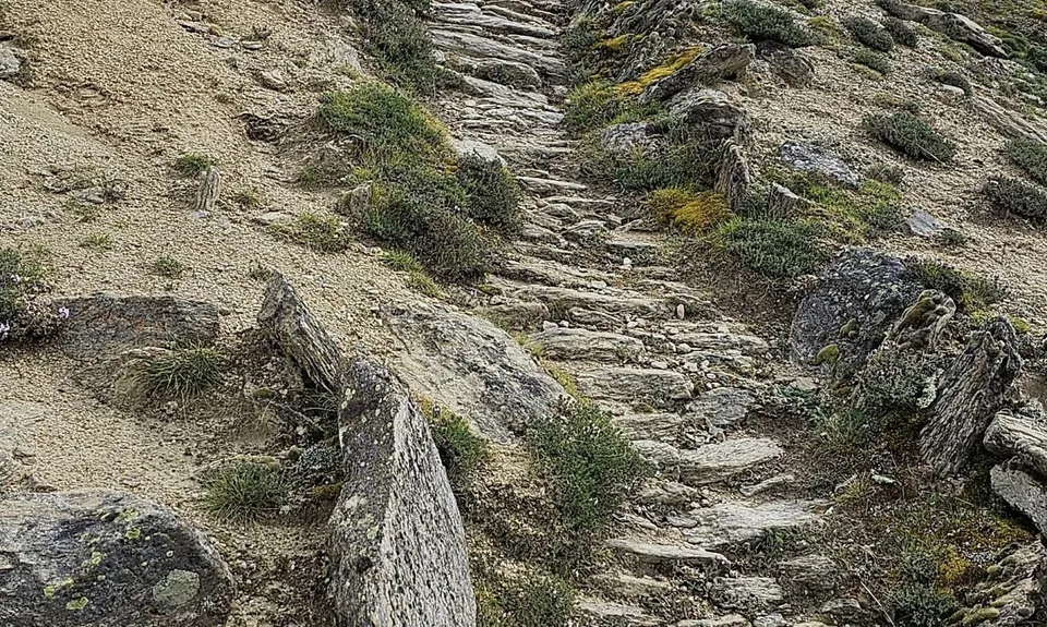
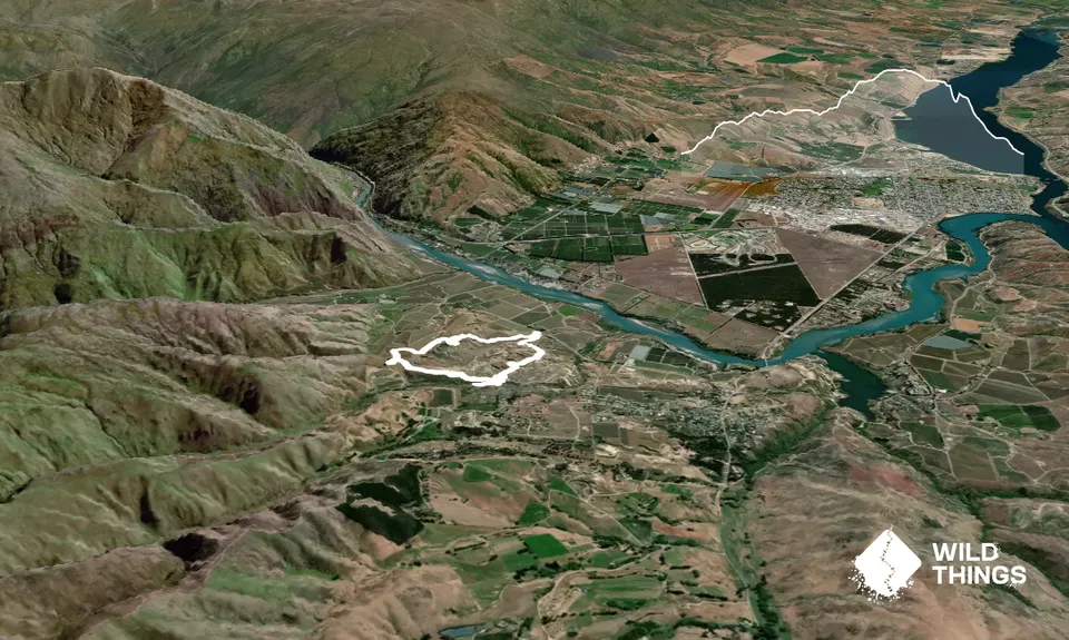
Bannockburn Tailings Track
Last Updated: 1st Feb 2024
Open
Grunt Factor: 7 ?
Gnarl Factor: 26 ?
5.0km
190m
195m
366m
Trail Map
This Topo layer only covers NSW/ACT.
Switch to another map layer when viewing outside this area.
Switch to another map layer when viewing outside this area.


