Last Updated: 19th Jul 2024
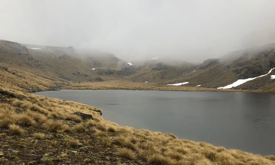
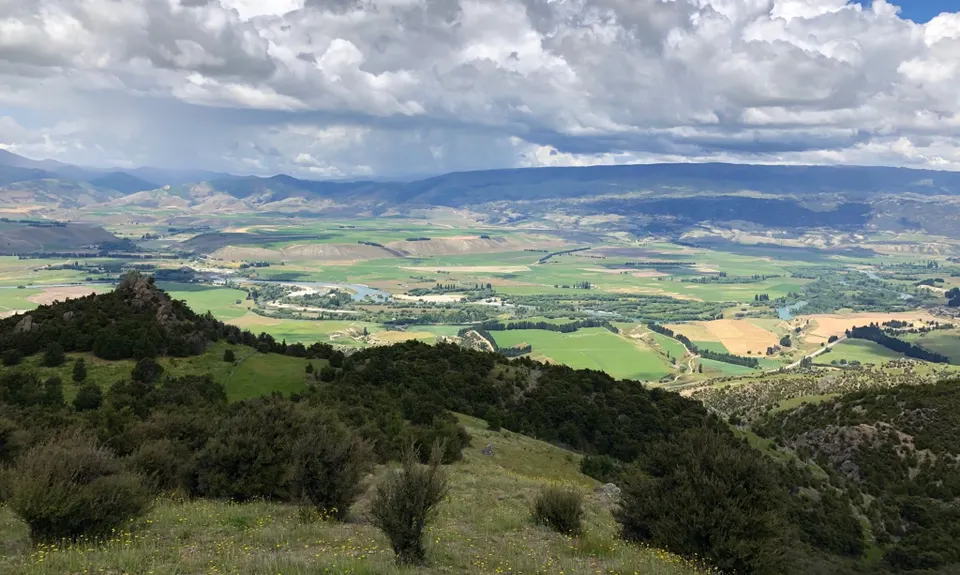
Locharburn to Lake McKay
Last Updated: 19th Jul 2024
Open
Grunt Factor: 42 ?
Gnarl Factor: 36 ?
24.3km
1500m
1500m
1710m

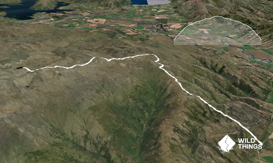
Trail Map
This Topo layer only covers NSW/ACT.
Switch to another map layer when viewing outside this area.
Switch to another map layer when viewing outside this area.


