Last Updated: 21st Sep 2023

Intermediate

Save Trail Save

I've done it Done

Mt Kamaka

Cromwell, Otago

Submitted by Kieran Philip

Last Updated: 21st Sep 2023

Intermediate

Save Trail Save

I've done it Done

Open

Grunt Factor: 32 ?

Gnarl Factor: 29 ?

21.5km

980m

980m

1100m


Login as a VIP to see driving directions, distance and time.

Trail Map

Type of Run

Front country - easily accessible

Out and Back

Mountainous

Open farmlands

Open tussock/grasslands

Open ridges/tops

Run Makeup

78%
22%

Farm Road / 4WD Track

Untracked / Route only

Average Uphill Gradient: +9.1%

Average Downhill Gradient: -9.1%

Trailhead

Login as a VIP to see the trailhead information.

Estimated Times to Run

5:00

Slow

3:45

Moderate

2:30

Fast

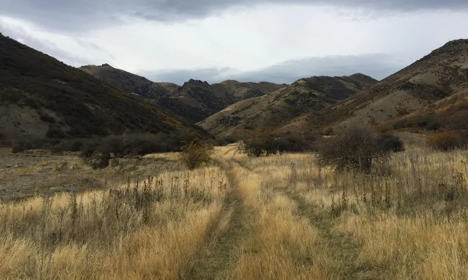
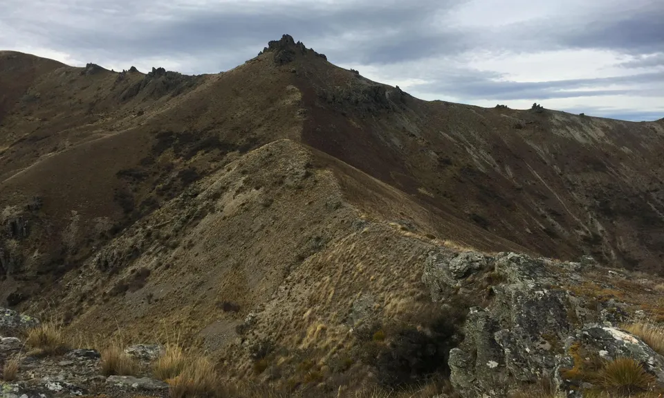
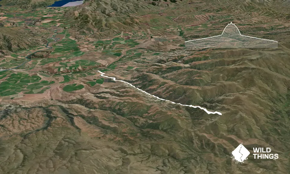
Starting from the carpark on Ardgour Rd, head over the stil and follow the farm road. There are a few orange markers to point the way, but stay on the main track and you'll be fine. Follow this track up Dry Creek, head all the way up the valley until you come to the end of the farm track at about 8.5km. On the way up, you'll pass through Dry Creek Conservation Area as well as passing the turn off to a track up to Cloudy Peak. The upper section of the Dry Creek Track is closed annually for lambing from 10 October to 21 November inclusive. Once you hit the end, it is a case of following the ridge line up to the summit. The climb is very reminiscent of the Mt Difficulty Ascent, though not quite as steep gradient (only 460m ascent in 1.6km). You can choose your own path as you are in the Neinei i kura Conservation Area, but keep on the left of the fenceline as that marks the boundary of the conservation land.
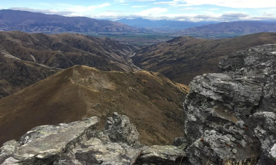
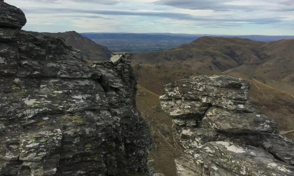
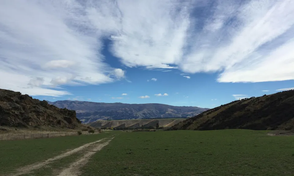
Once you've reached the rocky summit, enjoy the views back the way you have come, as well as into the Manuherikia Valley, and then follow the same route back down to your car.

Classic Central Otago country. Rugged terrain, schist tors, wild deer. Many views to enjoy.

Nice wee parking area, right next to the farm house so should be relatively safe.

29 km

22 minutes

Unknown

No

Moderate.

Follow the farm track along the valley floor for the first 8.5km.
Follow the ridge line up to the summit.

Very patchy.

Thermal leggings, Long-sleeved thermal top, Seam-sealed waterproof jacket, Gloves, Beanie/thermal headwear, Whistle, First aid kit, Extra food for emergencies, Survival blanket, Cellphone, Map.

No water on track, so make sure you take enough on you.

Would be pretty nasty up on top in the middle of winter. Can be very windy up on top even when calm down below.

Spaniards.
Matagouri.

Trail Legend

Raewyn Peters

Raewyn Peters

has completed Mt Kamaka once in the last year.

Learn about Trail Legends.

You and Mt Kamaka

As a VIP member you can record private notes for this trail, see all of your times and more.

Register Now

Already have an account? Login now

Trail Reviews

Be the first to submit a review for Mt Kamaka!

Login to submit a review

Trail Running Community

Find people who are interested in or have completed this trail run.

You must register or login to view this feature.

Register Now

Other trails nearby
Welshtown via Koinga, Kanuka and Logantown

Welshtown via Koinga, Kanuka and Logantown

Length: 11.0km

Level: Intermediate

Cairnmuir to Clyde

Cairnmuir to Clyde

Length: 26.9km

Level: Beginner - Intermediate

Potters Creek Loop

Potters Creek Loop

Length: 27.1km

Level: Beginner - Intermediate

Roaring Meg Pack Track

Roaring Meg Pack Track

Length: 18.0km

Level: Intermediate

Find more trails and peaks nearby