Last Updated: 29th Mar 2026
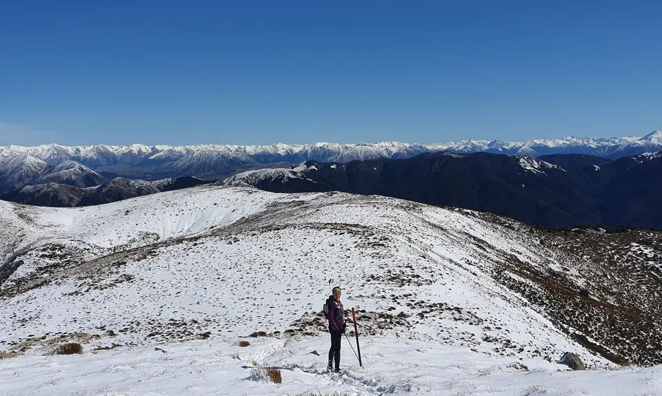
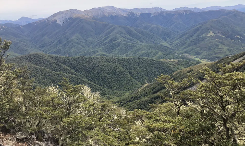
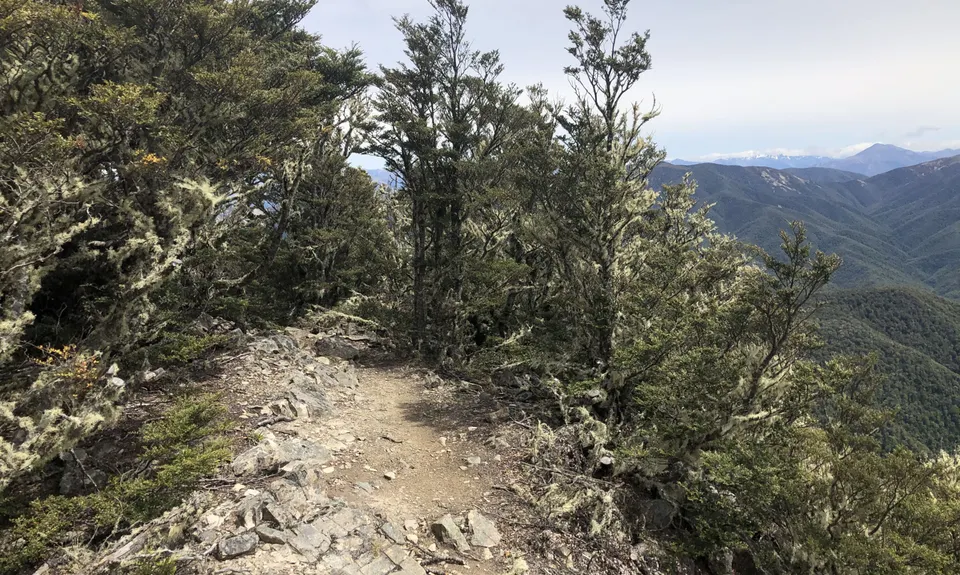
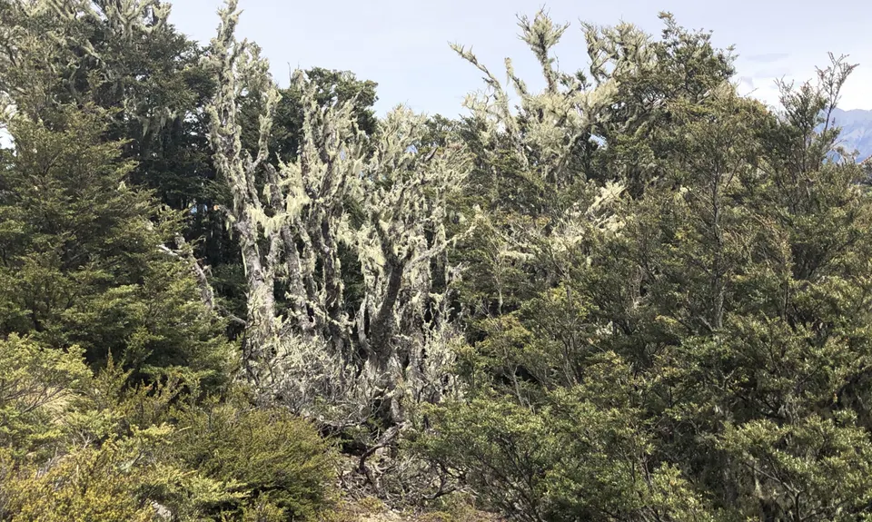
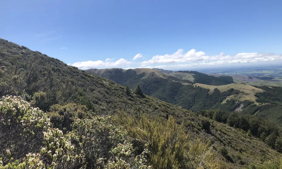
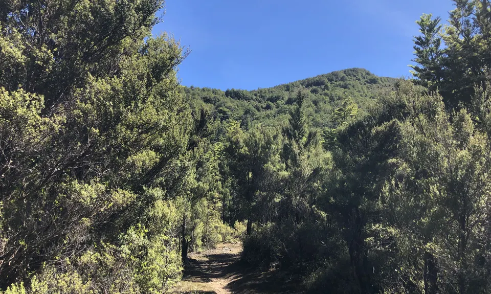
Mt Oxford Half
Last Updated: 29th Mar 2026
Open
Grunt Factor: 44 ?
Gnarl Factor: 65 ?
20.5km
1410m
1410m
1402m
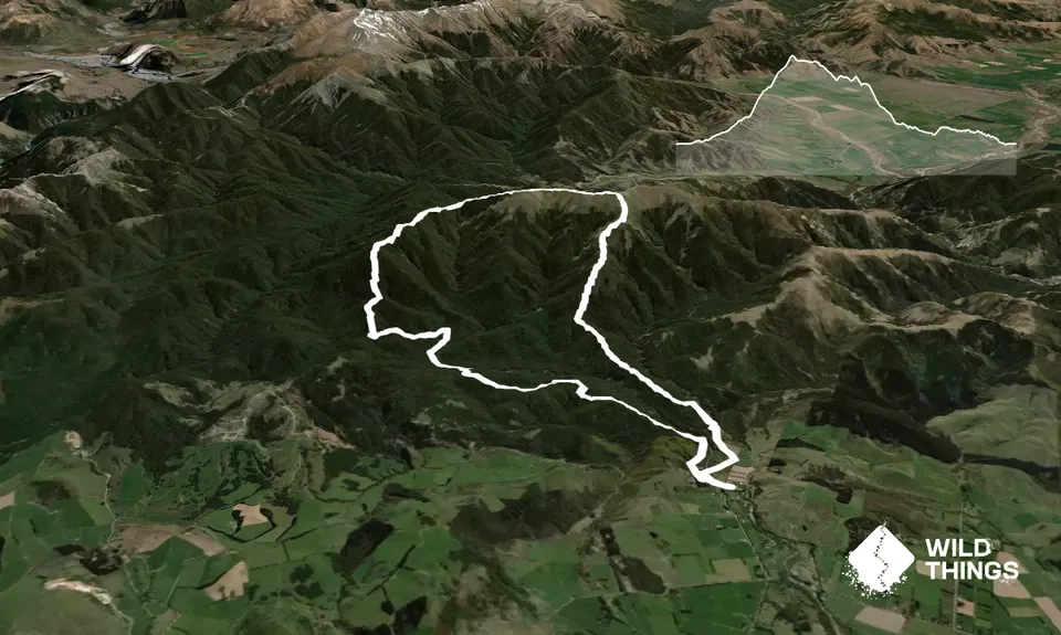
Trail Map
This Topo layer only covers NSW/ACT.
Switch to another map layer when viewing outside this area.
Switch to another map layer when viewing outside this area.


