Last Updated: 28th Sep 2025
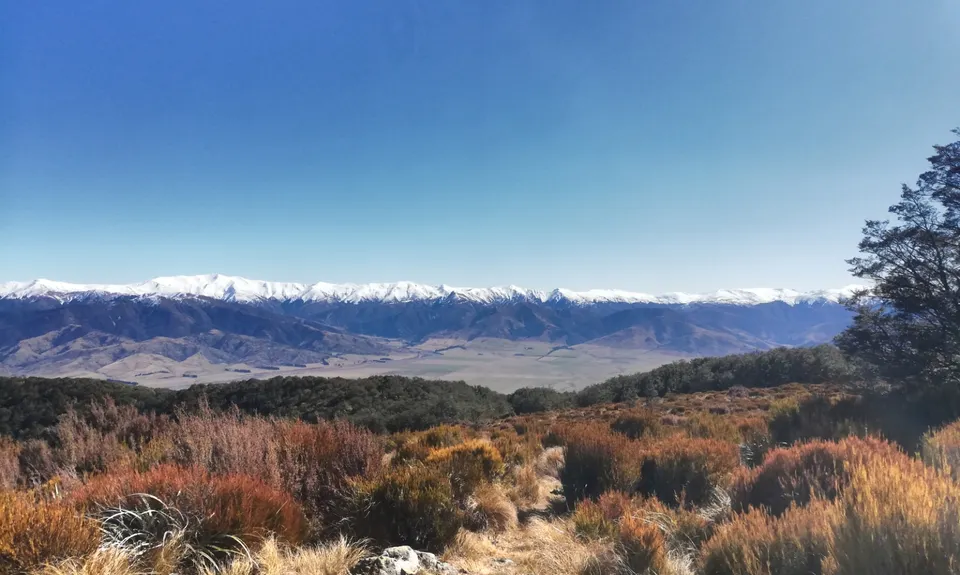
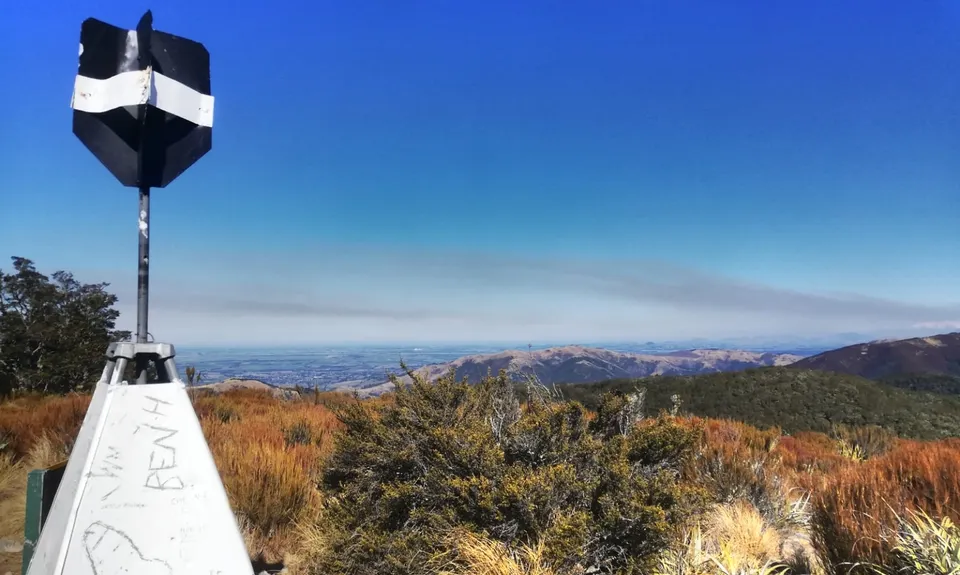
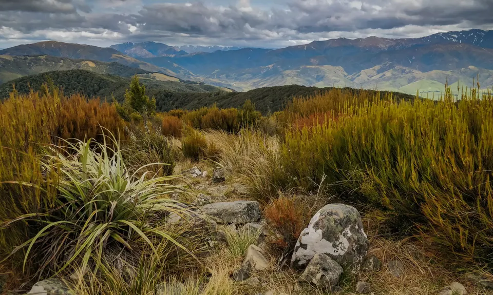
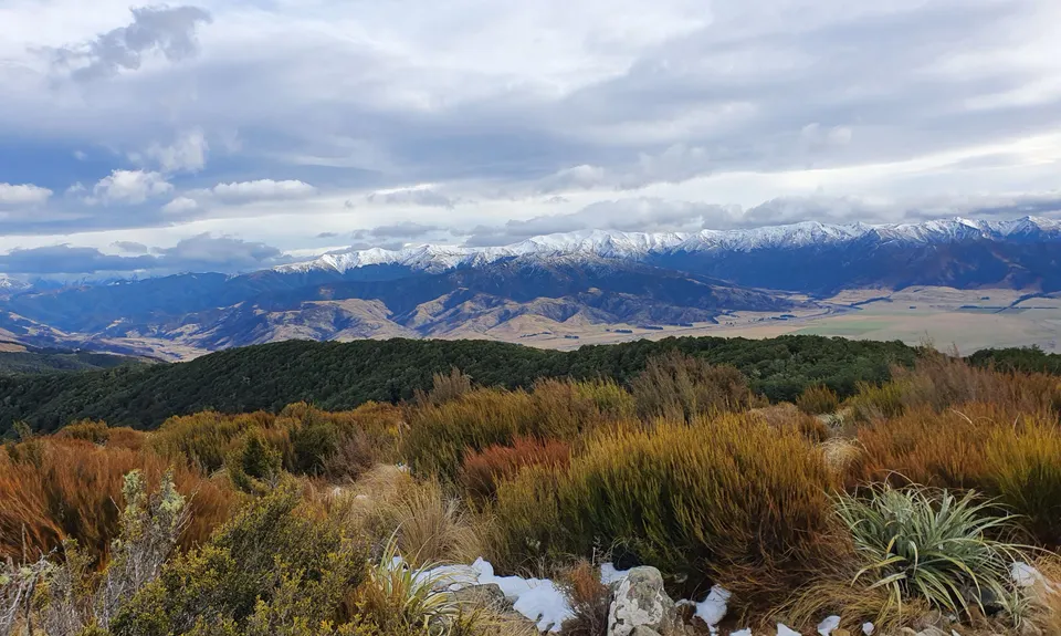
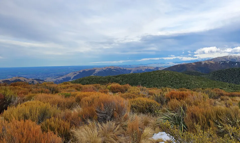
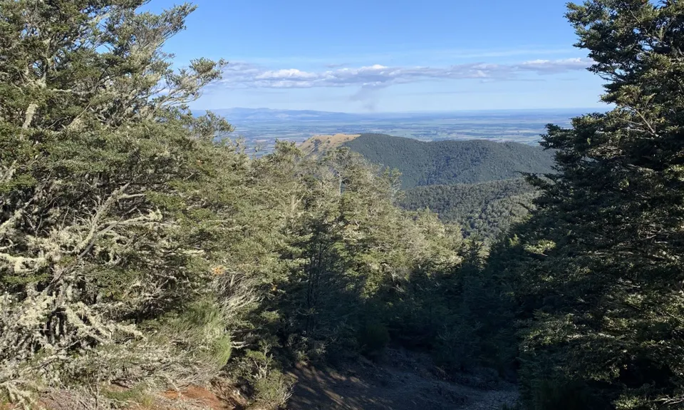
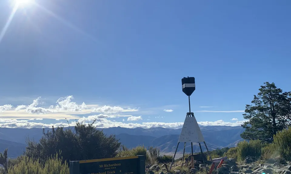
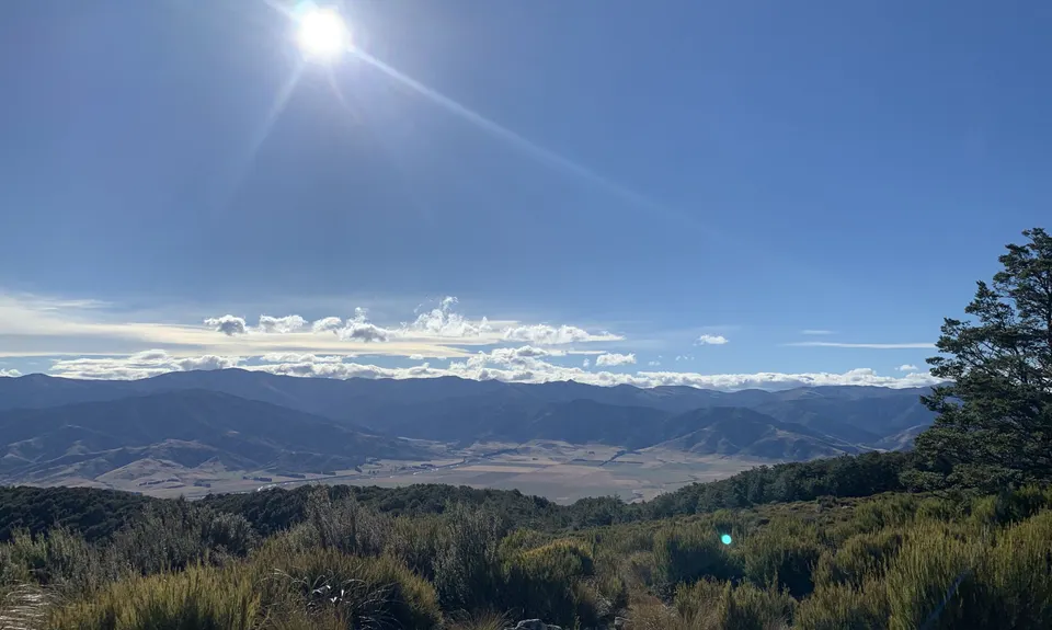
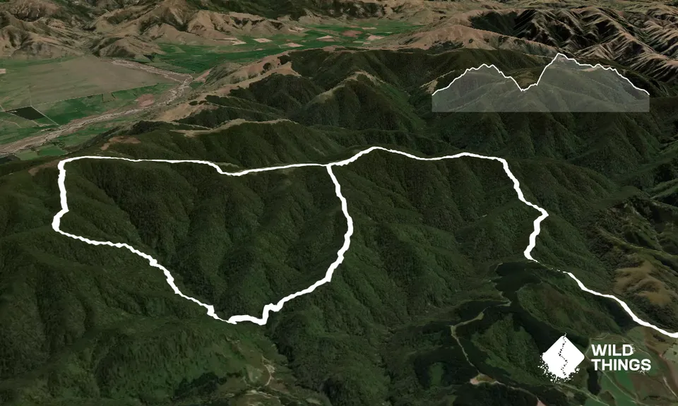
Blow Hard and back
Last Updated: 28th Sep 2025
Grunt Factor: 44 ?
Gnarl Factor: 48 ?
23.0km
1550m
1550m
1042m


Trail Map
This Topo layer only covers NSW/ACT.
Switch to another map layer when viewing outside this area.
Switch to another map layer when viewing outside this area.


