Last Updated: 13th Jan 2026
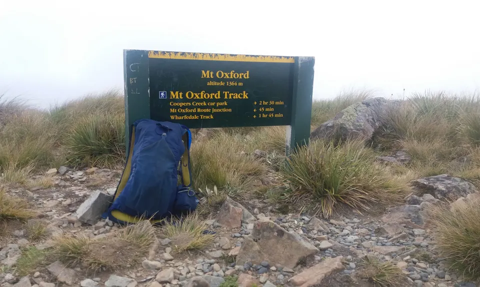
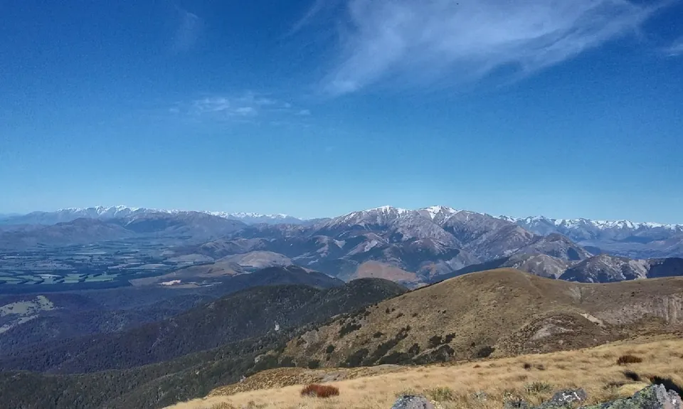
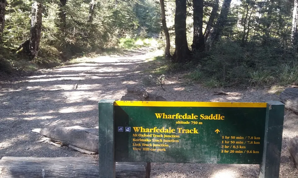
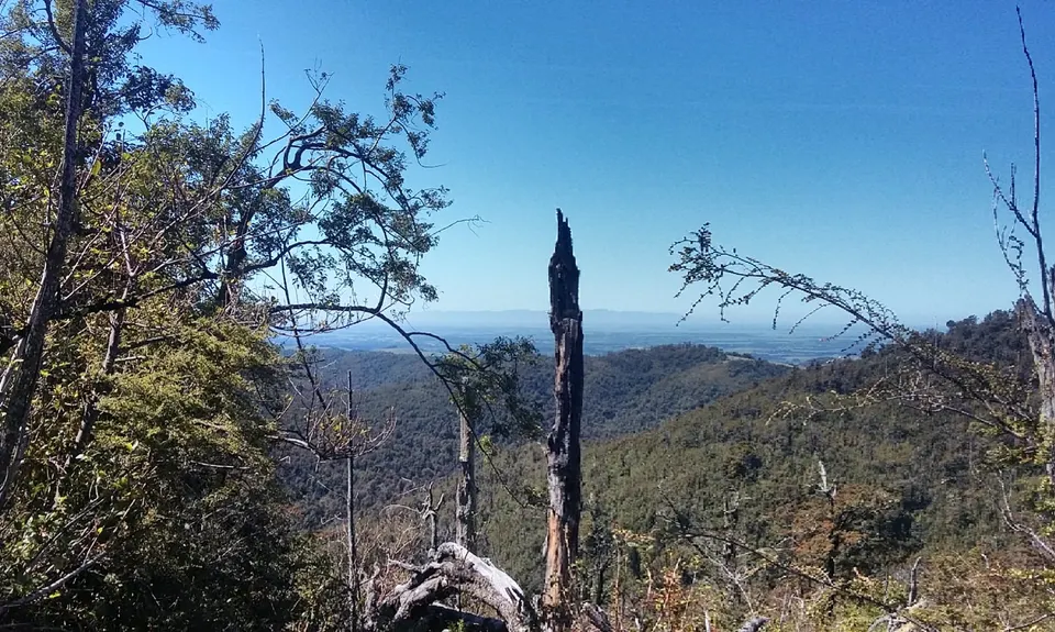
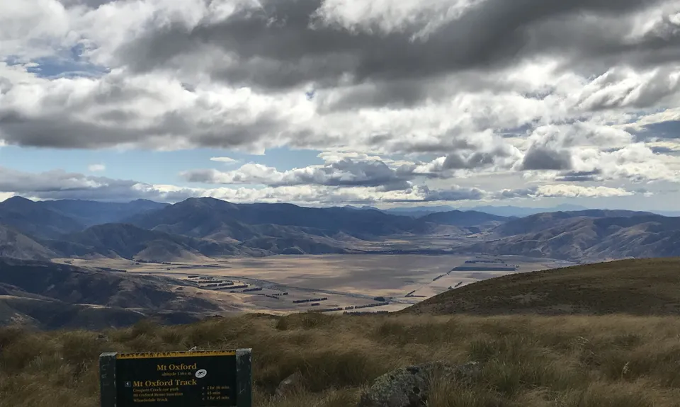
Mt Oxford - Wharfedale Track
Last Updated: 13th Jan 2026
Open
Grunt Factor: 60 ?
Gnarl Factor: 42 ?
35.0km
2100m
2100m
1364m

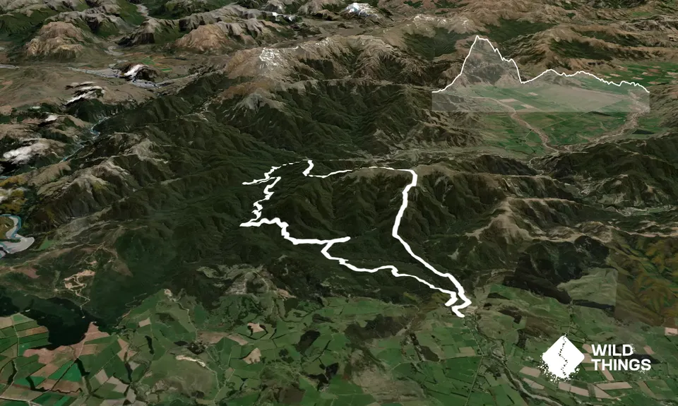
Trail Map
This Topo layer only covers NSW/ACT.
Switch to another map layer when viewing outside this area.
Switch to another map layer when viewing outside this area.


