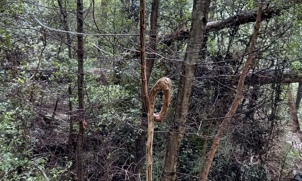
Start at the carpark and head across the open area to the DOC sign. DO NOT go straight ahead up Wooded Gully, turn right and follow the single track. It can get a bit muddy along here. It will cross a stile and you will head into pine forest and start climbing up.
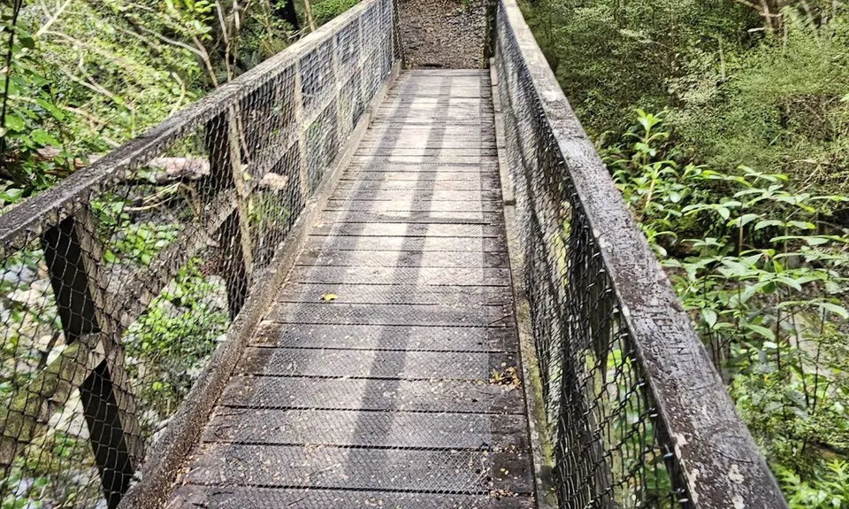
It will soon cross an old 4wd track (left is a dead end and right goes out onto the forest roads). Continue on up till you pop out onto a forest road. There is a DOC sign at this point. Turn left. (straight ahead will take you up to the summit of Mount Thomas). Follow the track as it gradually climbs and narrows. Then following the DOC markers it will become a single track again and take you sharply down to the bridge across the river.
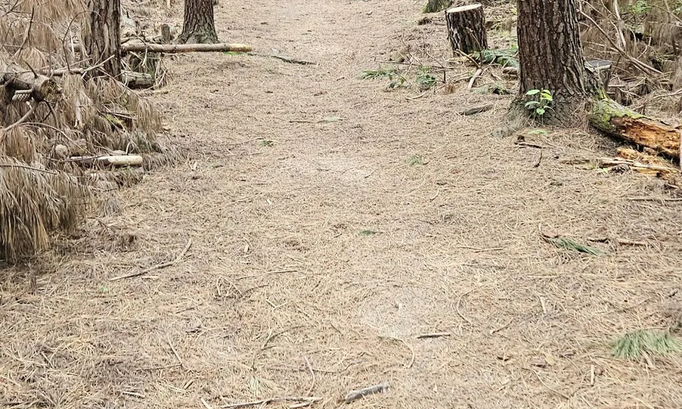
Continue following the track till you get to a junction. Turn right and head up the Wooded Gully Track. (Left takes you back to the carpark). This is a great track for some hill running. For those of us mere mortals who's legs refuse to run up hills, this track is fabulous. Just enough of a climb that is is actually runnable all / most of the way to the junction.
At the junction with the Red Pine track, turn left and head down Red Pine. This is an awesome track. One of the best tracks (if not the best) for running on this hill. When you get to the junction with Kereru Track turn left. (Straight ahead, or right branch, continues down Red Pine to the car par)k. This is a great option too, but at the time of writing it was closed after the big floods.
Follow the Kereru Track to the junction of Wooded Gully and turn right and head back down to the car park. (From the junction of Red Pine and Kereru DOC has now made this into a formed track. Not so good for the purists who love the tracks as natural as possible. But looking at the upside, it makes for a faster time if going for an FKT.)