Last Updated: 10th Sep 2024
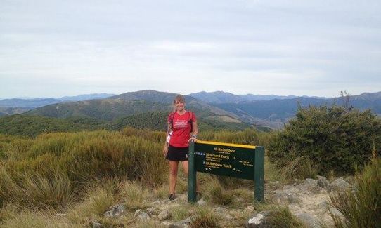
Mt Richardson Rippa
Submitted by Meg Mason
Last Updated: 10th Sep 2024
Open
Grunt Factor: 22 ?
Gnarl Factor: 47 ?
12.0km
710m
710m
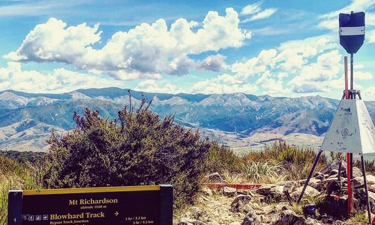
1038m
.jpg?tr=w-542,h-325)
Last Updated: 10th Sep 2024
Submitted by Meg Mason
Last Updated: 10th Sep 2024
Open
Grunt Factor: 22 ?
Gnarl Factor: 47 ?
12.0km
710m
710m
1038m
Front country - easily accessible
Loop
Undulating, some big hills
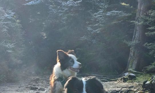
Dog Friendly
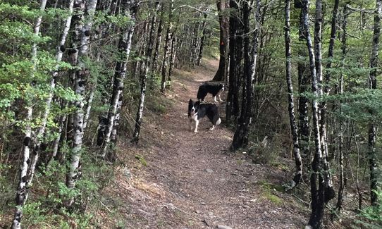
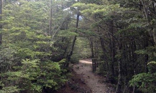
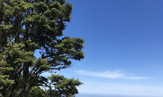
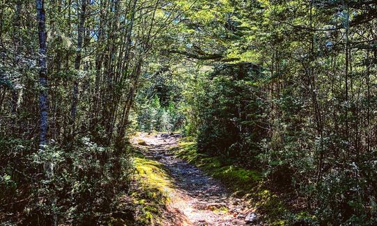
Native bush
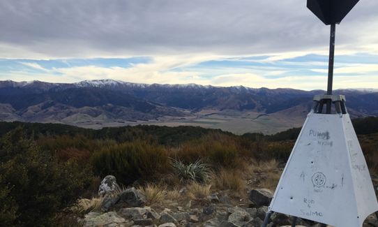
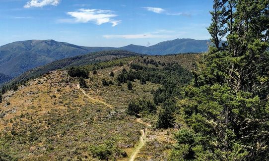
Open ridges/tops
Easy Single Track
Moderate Single Track
Technical Single Track
Average Uphill Gradient: +16.5%
Average Downhill Gradient: -14.5%
VIP Feature: Send this route to your Garmin account so you can follow the course on your Garmin device.
Login as a VIP to see the trailhead information.
3:00
Slow
2:15
Moderate
1:30
Fast
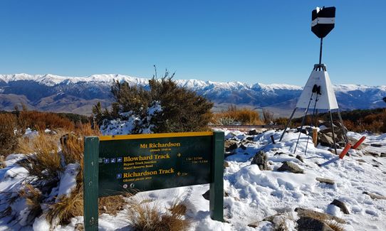
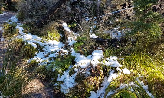
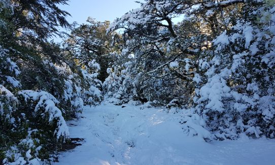
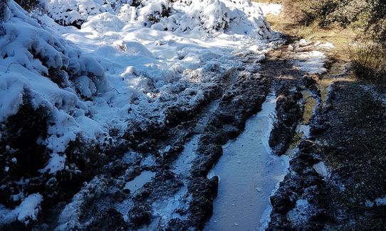
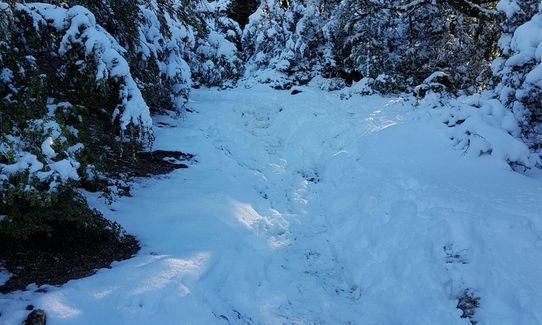
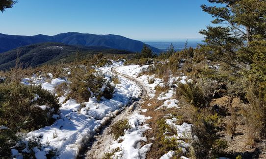
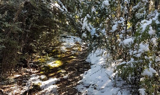
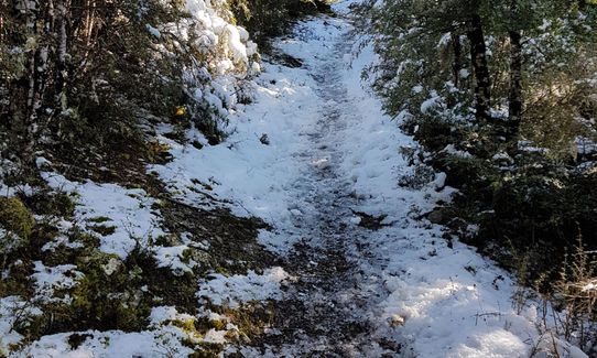
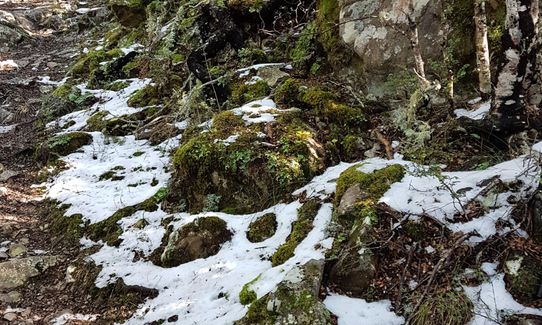
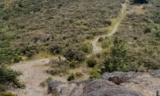
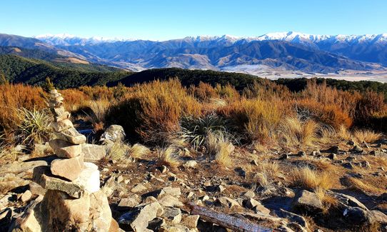
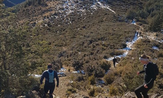
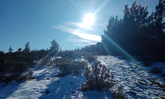
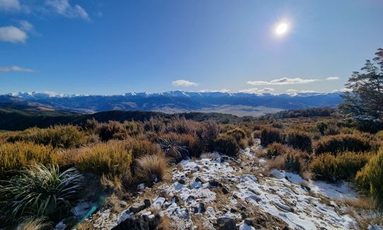
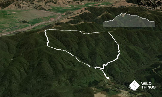
Head clockwise up the Richardson track to the top of Mt Richardson, along the ridge on the aptly named Blowhard Track and down the Bypass Track and the Waterfall Track. The Richardson track is a bit of an uphill slog but not long. Blowhard is lovely but windy (cold!) and semi-flat to the Bypass track down. Most of the Bypass track is easy but gets steepish towards the bottom with a nice walk out along the waterfall track. Was cold at the top with around 10 degrees difference in temp. Could be very muddy after rain, snow possible in winter.
This trail includes the peak Mount Richardson.
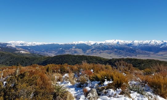
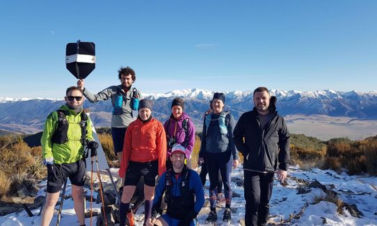
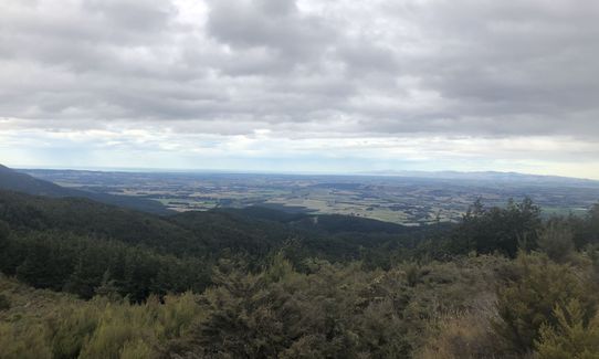
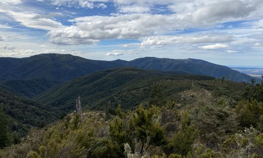
Grand views from the top and ridge across north Canterbury to Pegasus Bay and back over Lees Valley to the Alps.
Toilet at trail head/carpark.
Plenty of parking at the picnic area. There is also camping and a long drop toilet available. It is a dead end road, so very quiet.
16 km
16 minutes
Yes
No
Easy.
Keep left as heading up the Richardson track - markers were missing near the start. Tracks are well signposted at the main points otherwise.
Generally good.
Long-sleeved thermal top, Seam-sealed waterproof jacket, Gloves, Beanie/thermal headwear, Whistle, First aid kit, Extra food for emergencies, Cellphone, Map
None noticed. May be available at the picnic area at the bottom.
Muddy after rain. Very cold and exposed on top if windy. Possiblilty of snow and ice in winter.
Mud, slippery roots, steep climbs, snow and ice.
Trail Legend
Login as a VIP to become a Trail Legend. Learn about Trail Legends.
Fastest Known Times (FKTs)
You and Mt Richardson Rippa
As a VIP member you can record private notes for this trail, see all of your times and more.
Already have an account? Login now
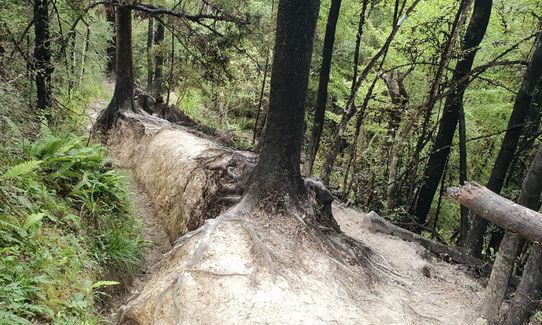
Awesome loop. Loads of damage to the track currently so add a little time on your journey. A small slip section to pass as well as loads of downed trees over the track. Also a washed out bridge that requires a very easy stream crossing (dry feet if you nicely hop boulders). I took my 9 year old on the loop and it felt quite the adventure with a bit of fresh show falling during the descent.
September 27, 2021
Awesome loop! Short, steep uphill then a lovely run along an open ridgeline with cracking views before you drop back down into the forest. Nice gradient on the downhill, totally runable. Soooo many wasps today though! Didn't really want to stop in case I got stung!
April 24, 2021
Ooooh what a great loop. Short sharp uphill, long flowing downhill where you can cut loose... one of those rare runs where I found pure joy in the motion.
March 29, 2021
Great run but the wasps are the worst I've ever seen, hope the bait stations start having an impact!. Wonderful loop though, one of my favs
March 12, 2021
These overlap with this trail to some degree. You may wish to combine them but please note that to qualify for FKTs on these runs you should record a separate activity for each.
Send to your phone
Scan the below QR code to open this trail on your phone.

Tip: position the QR code in your phone camera screen.


