Last Updated: 16th Mar 2026
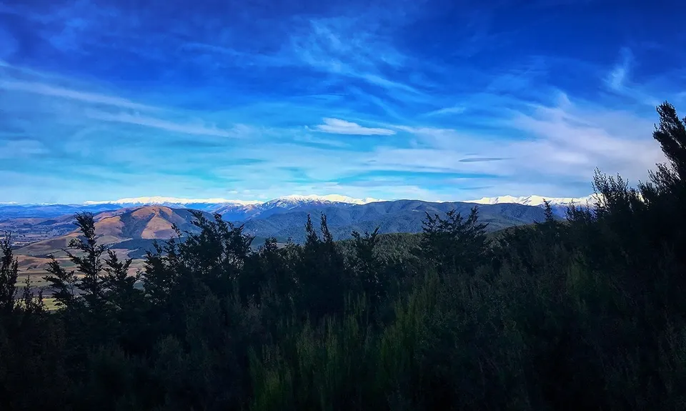
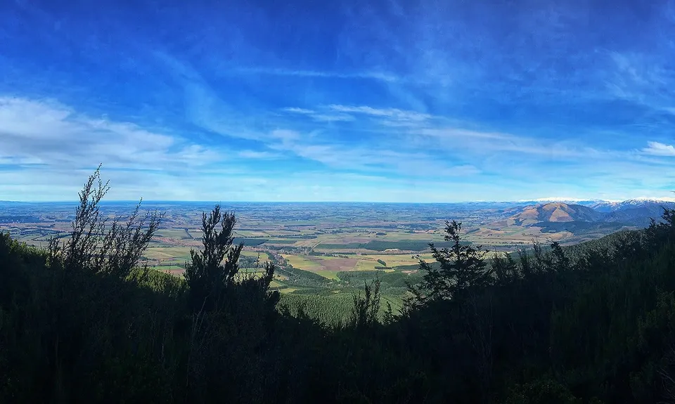
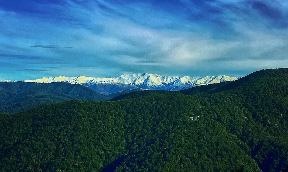
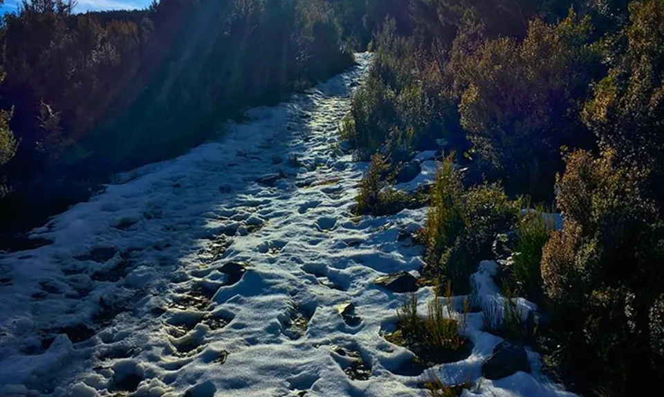
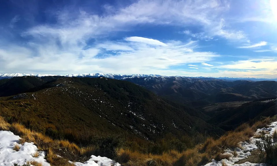
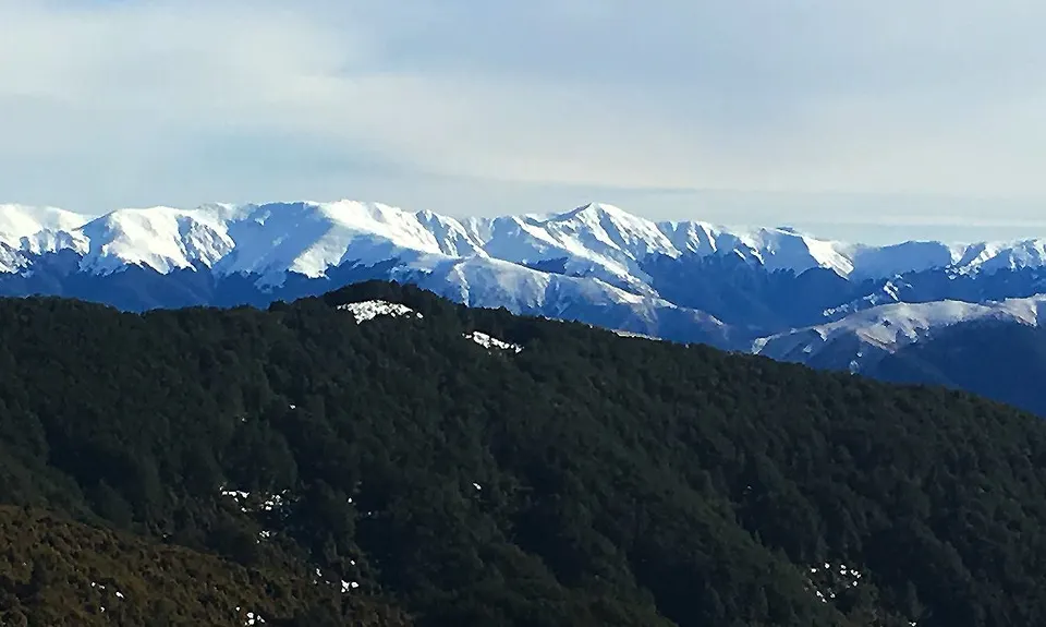
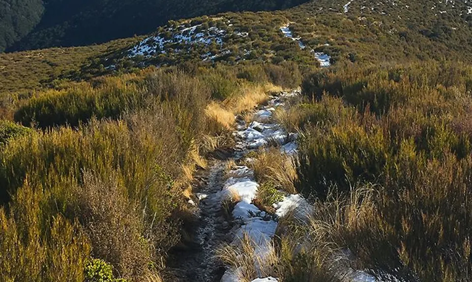
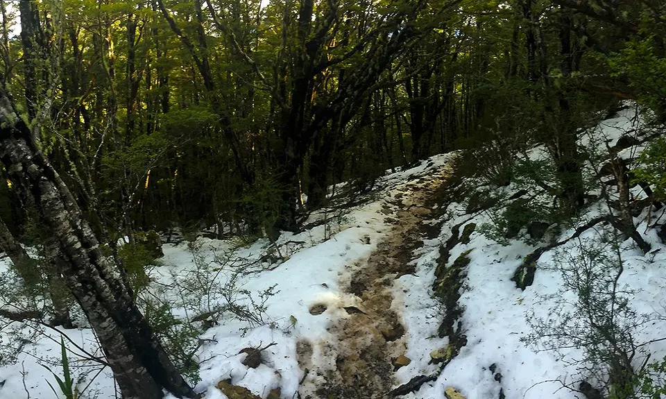
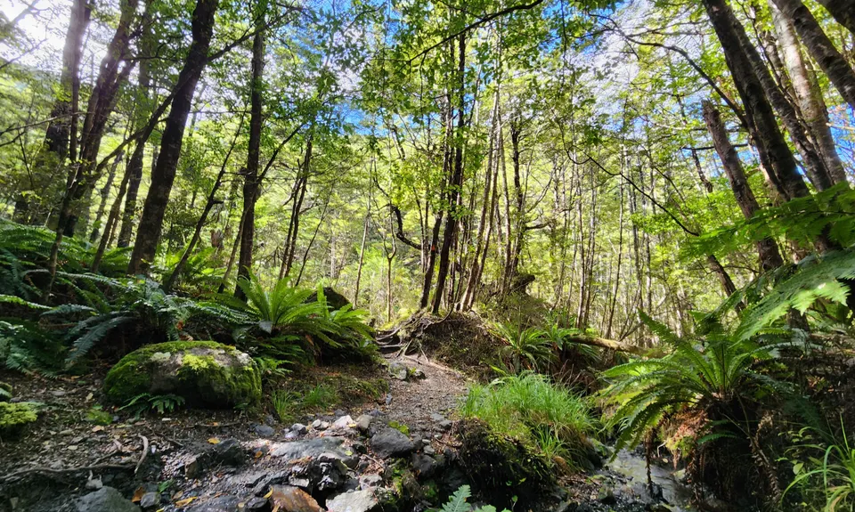
Mt Thomas Grunt
Last Updated: 16th Mar 2026
Open
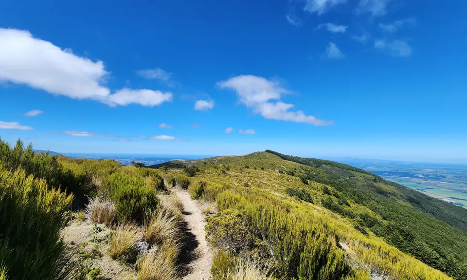
Grunt Factor: 24 ?
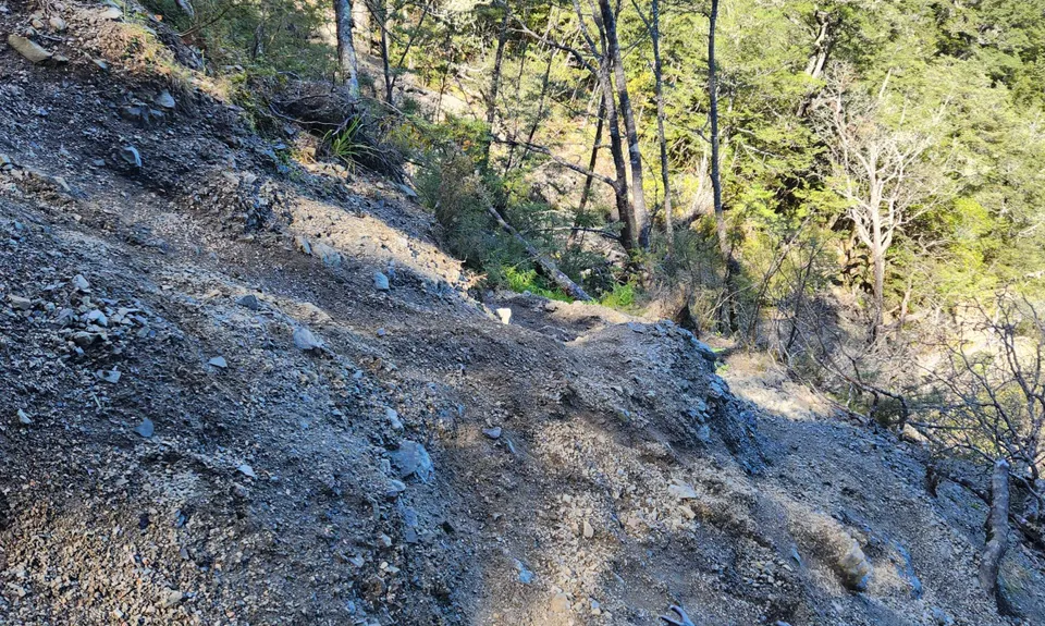
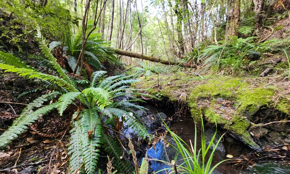
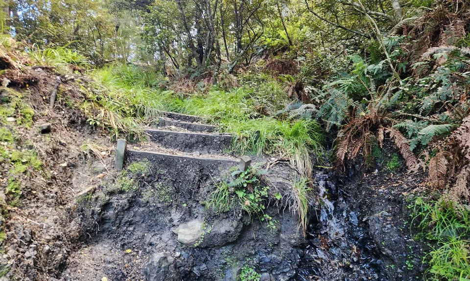
Gnarl Factor: 75 ?
10.0km
760m
760m
1013m
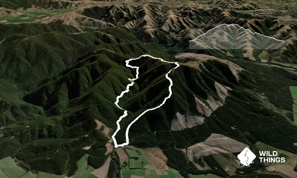
Trail Map
This Topo layer only covers NSW/ACT.
Switch to another map layer when viewing outside this area.
Switch to another map layer when viewing outside this area.


