Last Updated: 29th Jan 2026
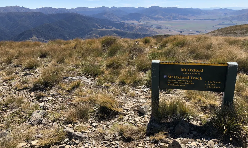
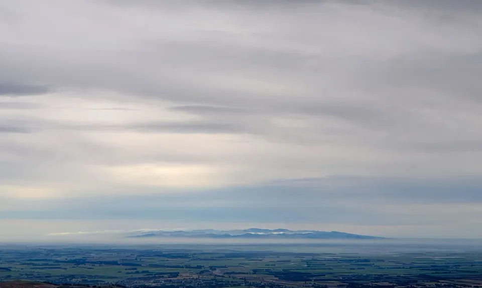
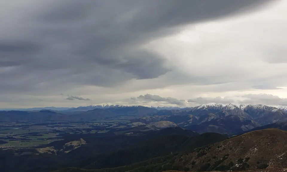
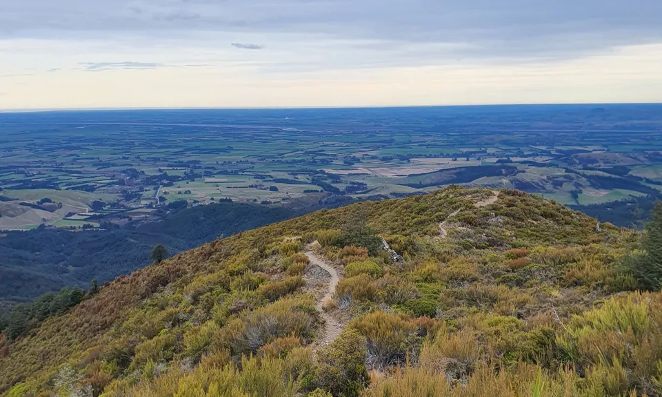
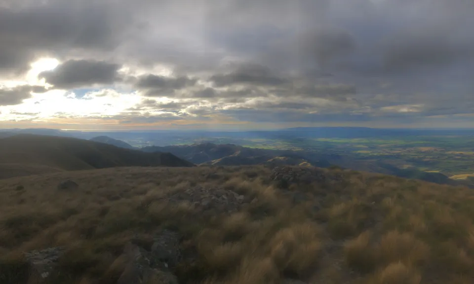
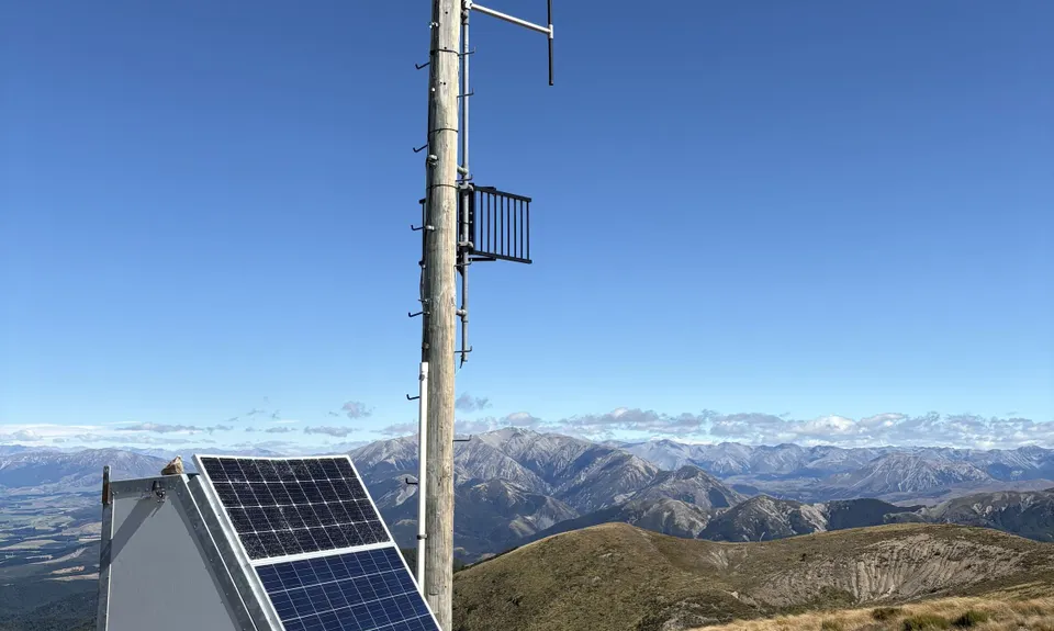
Mount Oxford Summit Scramble
Last Updated: 29th Jan 2026
Open
Grunt Factor: 31 ?
Gnarl Factor: 67 ?
14.0km
1015m
1015m
1364m


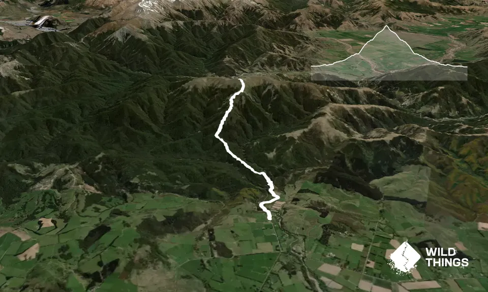
Trail Map
This Topo layer only covers NSW/ACT.
Switch to another map layer when viewing outside this area.
Switch to another map layer when viewing outside this area.


