Last Updated: 16th Mar 2026
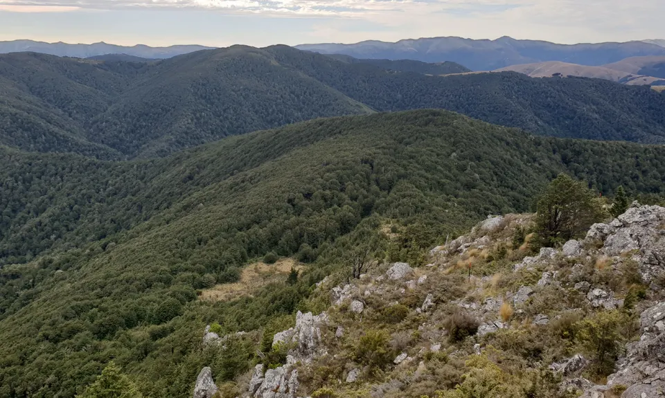
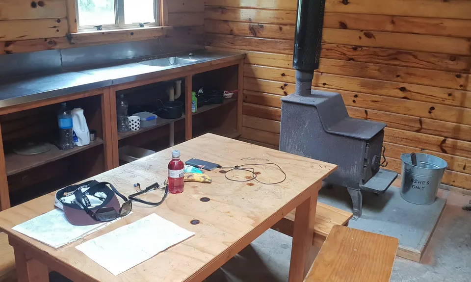
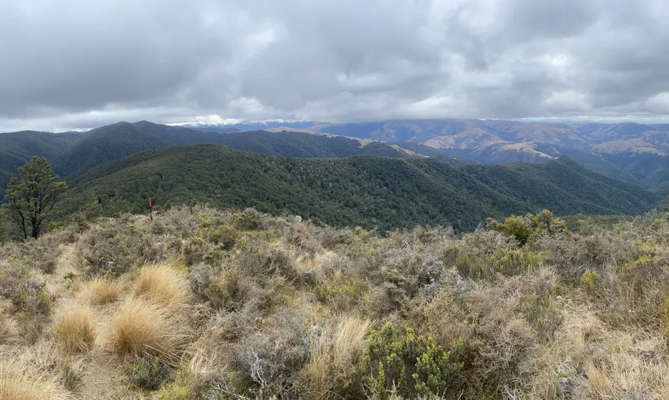
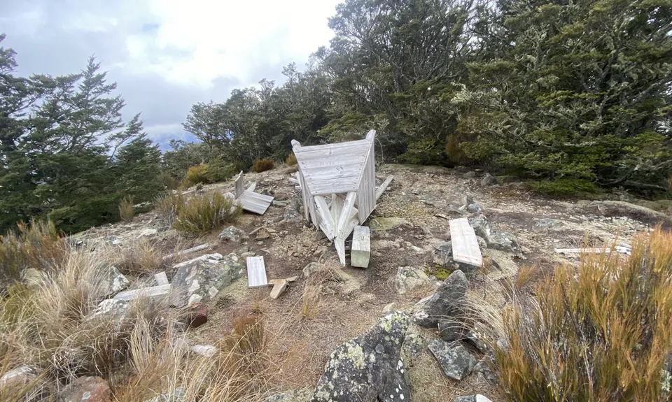
Mt Thomas Routes and Ridges
Last Updated: 16th Mar 2026
Grunt Factor: 79 ?
Gnarl Factor: 97 ?
28.5km
2275m
2275m
1071m
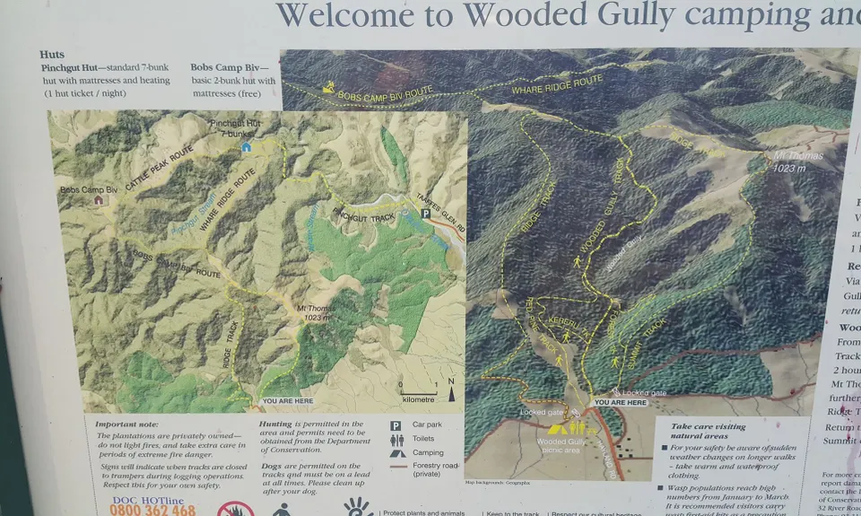
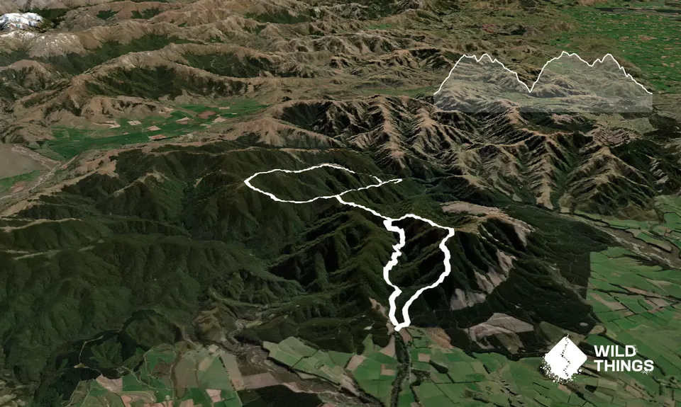
Trail Map
This Topo layer only covers NSW/ACT.
Switch to another map layer when viewing outside this area.
Switch to another map layer when viewing outside this area.


