Last Updated: 25th Sep 2023
Ashley All Terrrain
Last Updated: 25th Sep 2023
Grunt Factor: 11 ?
Gnarl Factor: 83 ?
4.2km
283m
283m
460m
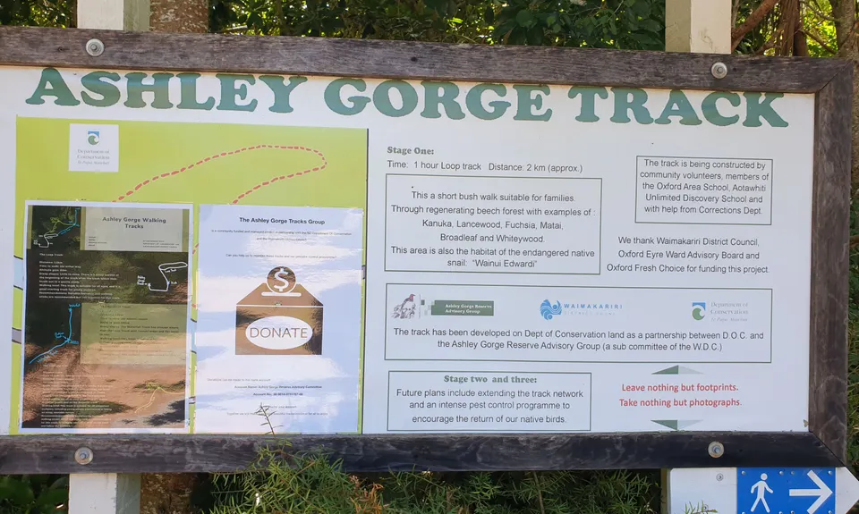
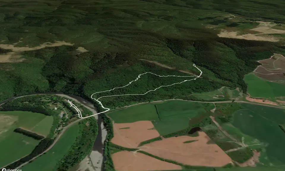
Trail Map
This Topo layer only covers NSW/ACT.
Switch to another map layer when viewing outside this area.
Switch to another map layer when viewing outside this area.


