Last Updated: 20th Sep 2024
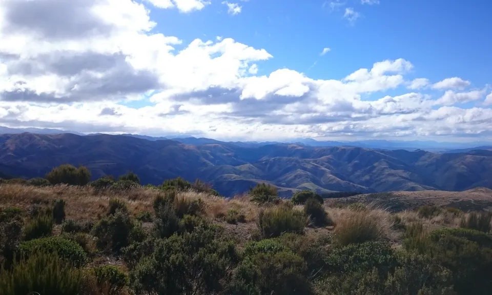
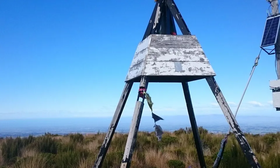
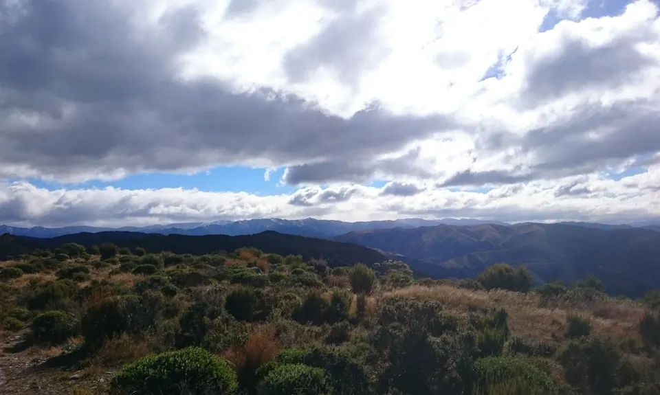
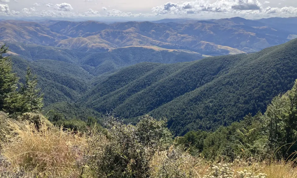
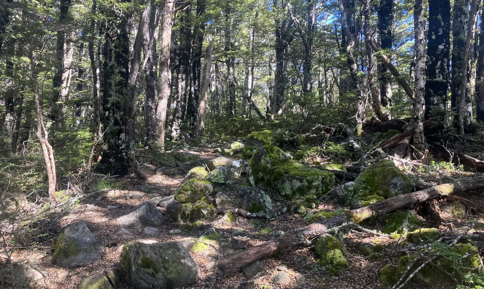
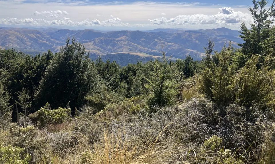
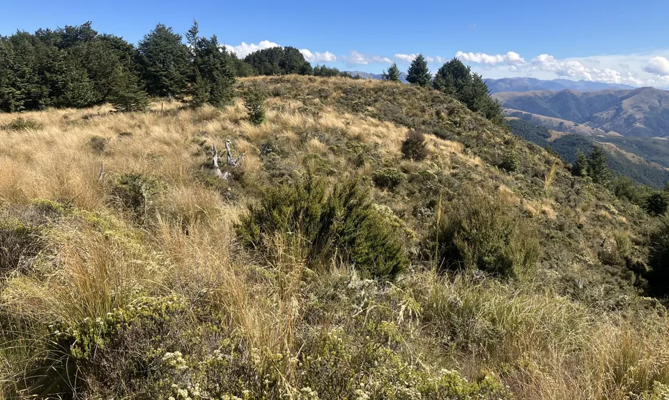
Mt Thomas via Ridge Track
Last Updated: 20th Sep 2024
Open
Grunt Factor: 29 ?
Gnarl Factor: 46 ?
15.2km
1050m
1050m
1030m
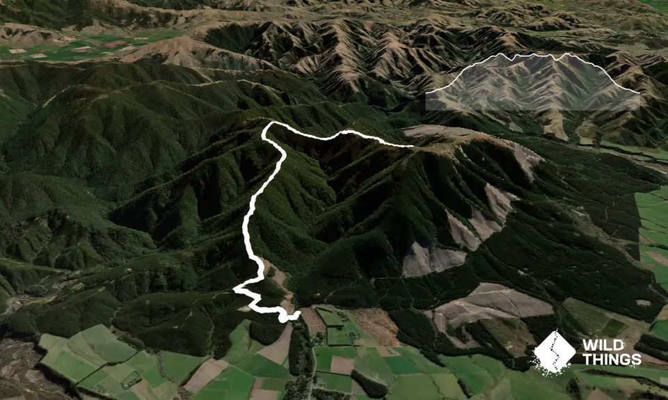
Trail Map
This Topo layer only covers NSW/ACT.
Switch to another map layer when viewing outside this area.
Switch to another map layer when viewing outside this area.


