Last Updated: 10th Jun 2024
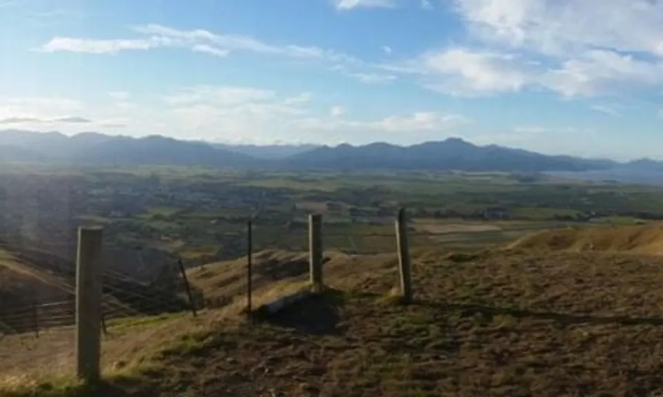
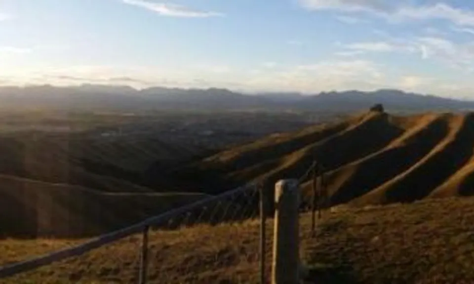
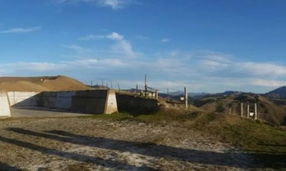
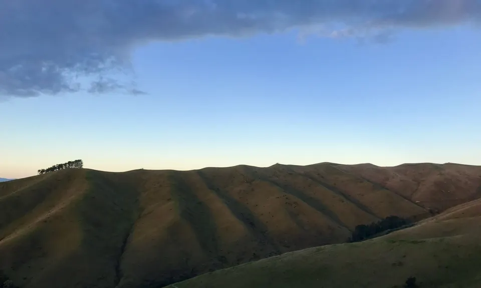
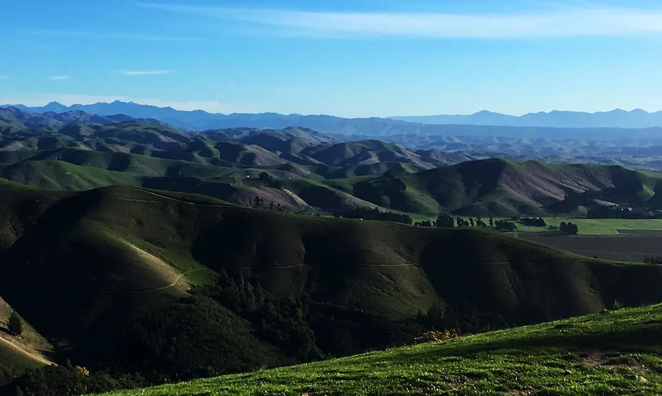
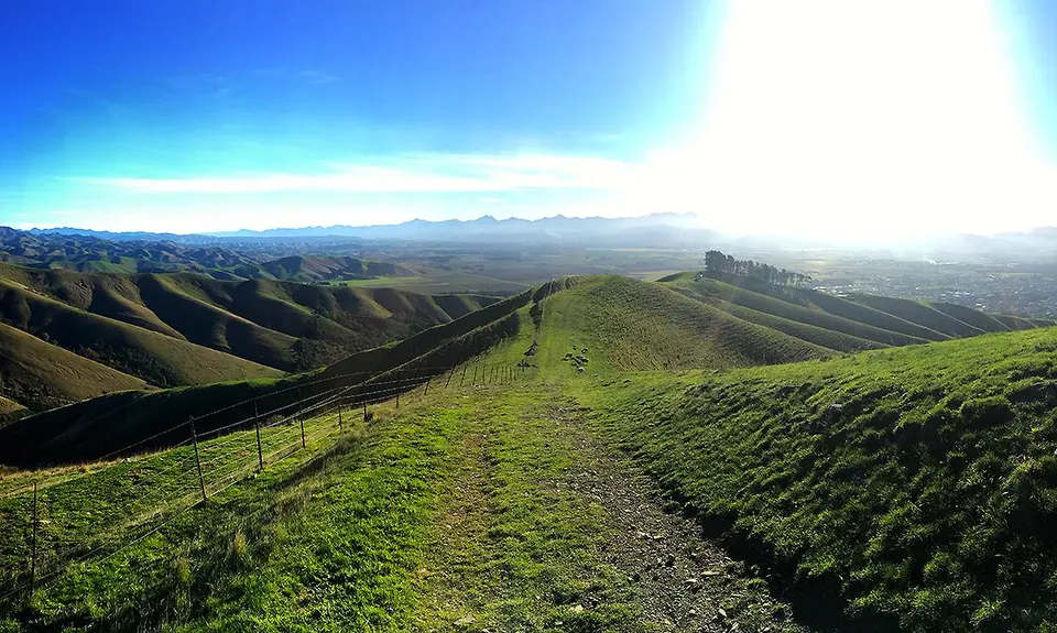
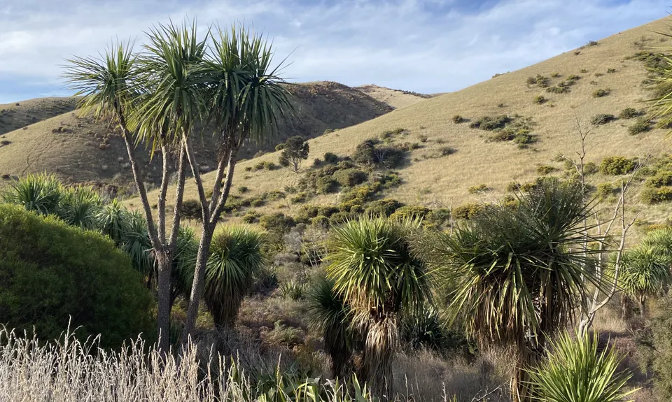
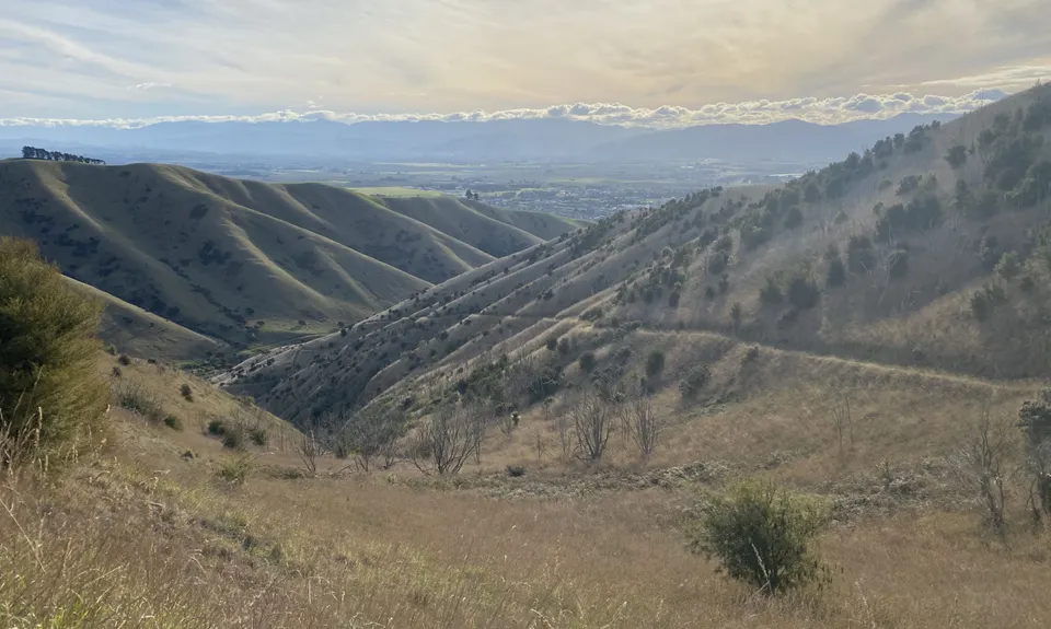
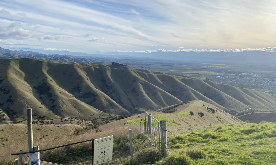
Vernon Ridgeline
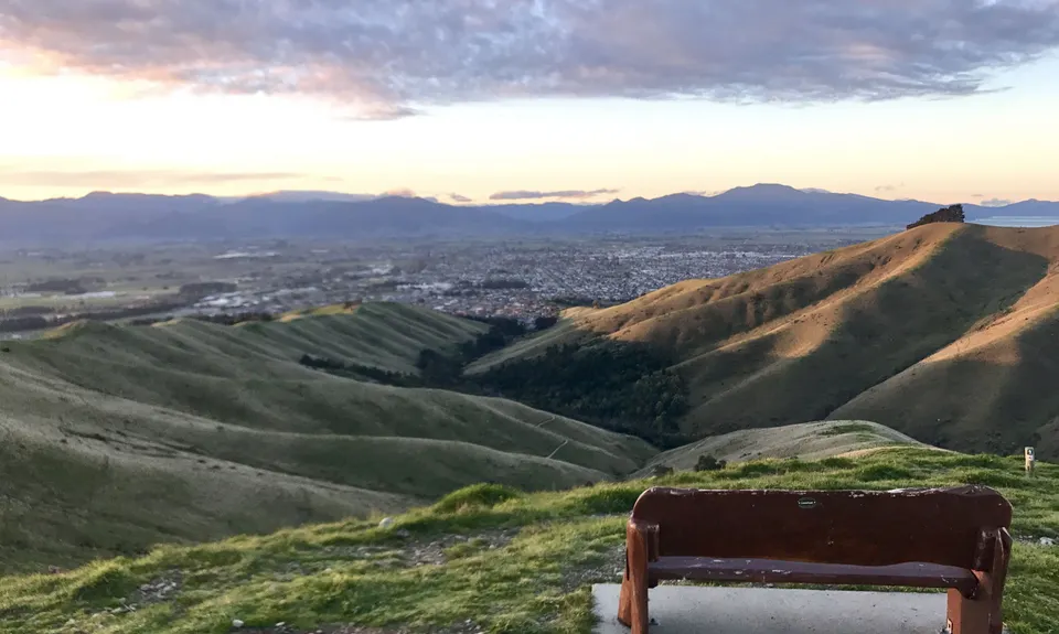
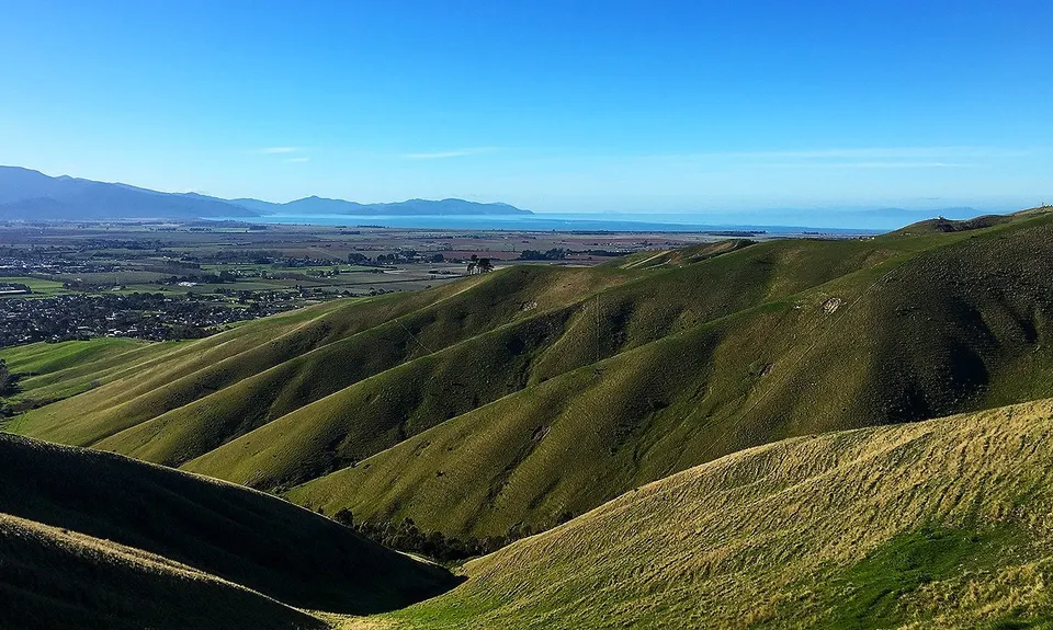
Wither Hills Farm Park
Lower Sutherland Stream Trail, Taylor View Track, Split Apple Peak Track, Lower Quail Stream Trail, Twin Tanks Track
Last Updated: 10th Jun 2024
Open
Grunt Factor: 17 ?
Gnarl Factor: 9 ?
16.0km
562m
563m
387m
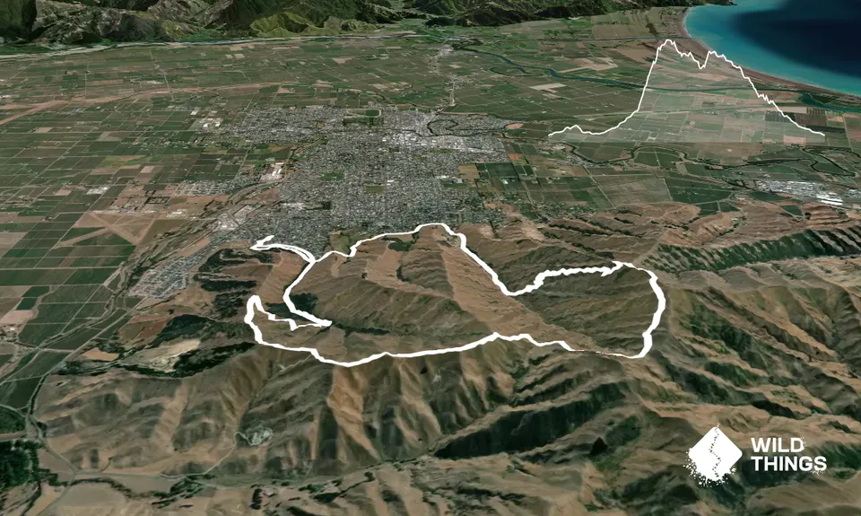
Trail Map
This Topo layer only covers NSW/ACT.
Switch to another map layer when viewing outside this area.
Switch to another map layer when viewing outside this area.


