Last Updated: 3rd Feb 2025
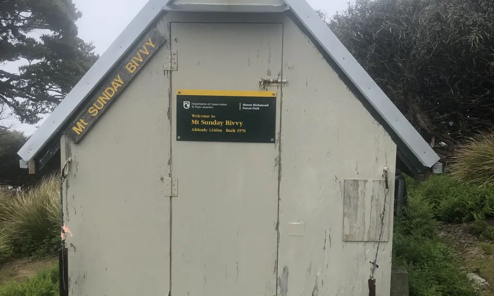
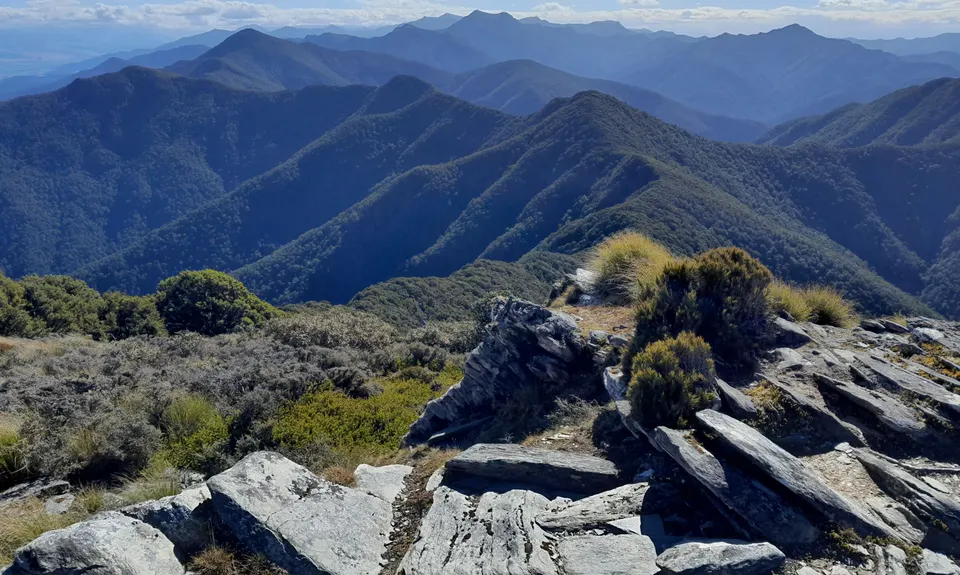
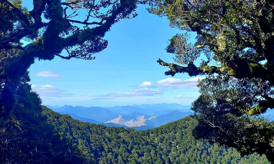
Mt Sunday - Mt Riley Loop
Last Updated: 3rd Feb 2025
Open
Grunt Factor: 45 ?
Gnarl Factor: 74 ?
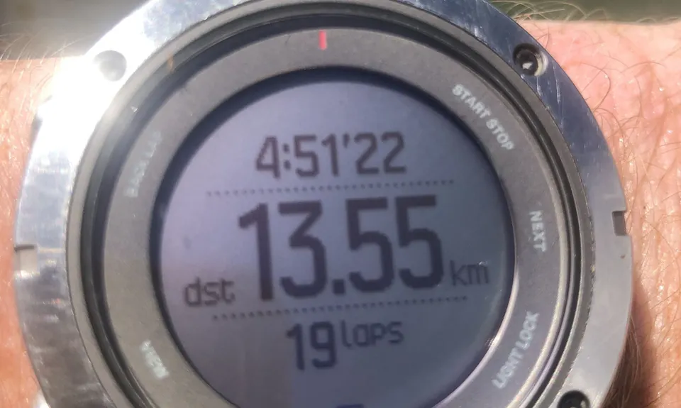
17.0km
1660m
1660m
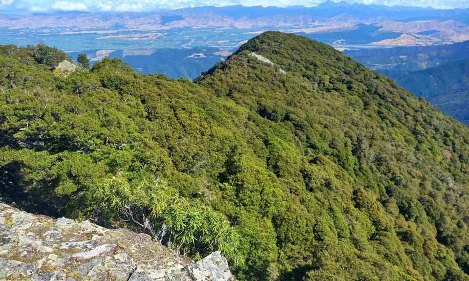
1311m


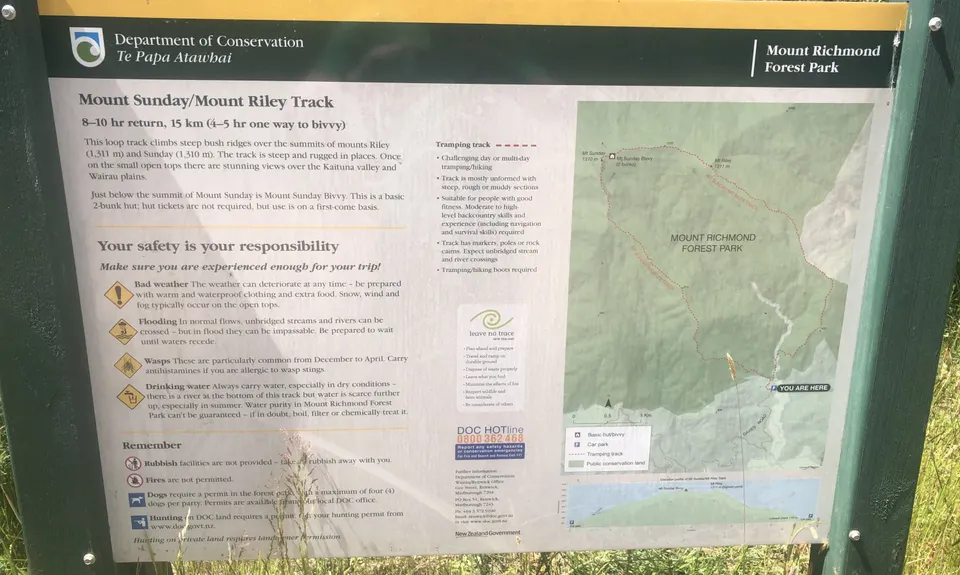
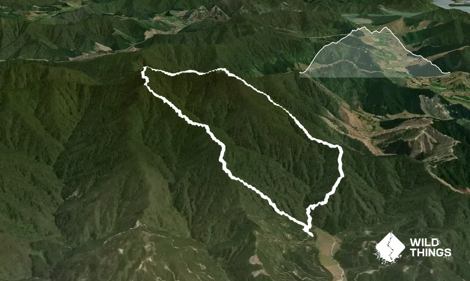
Trail Map
This Topo layer only covers NSW/ACT.
Switch to another map layer when viewing outside this area.
Switch to another map layer when viewing outside this area.


