Last Updated: 25th Sep 2024
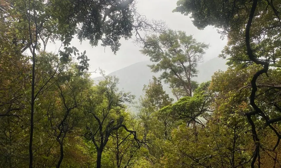
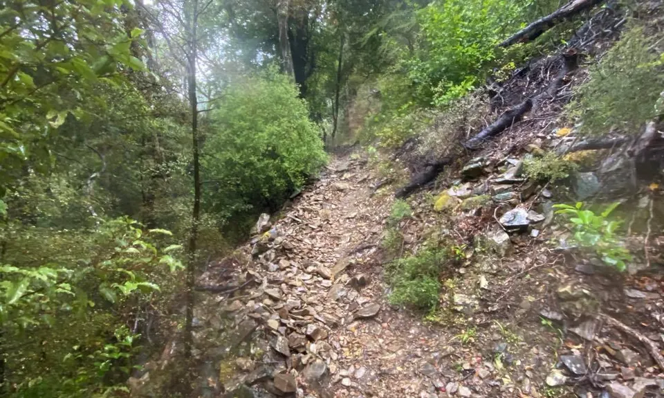
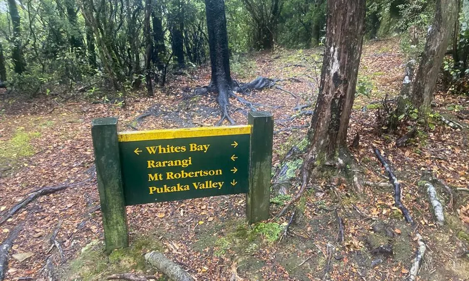
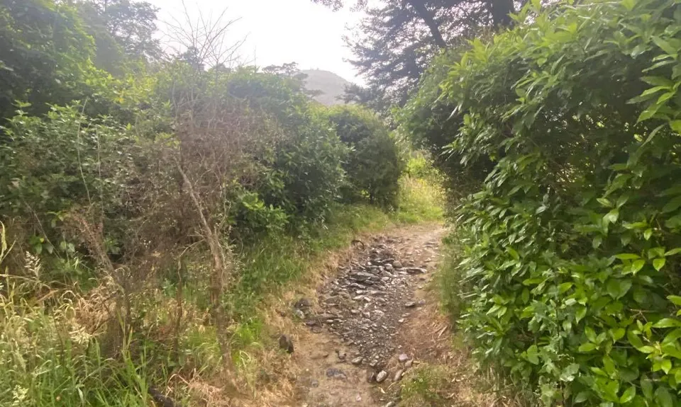
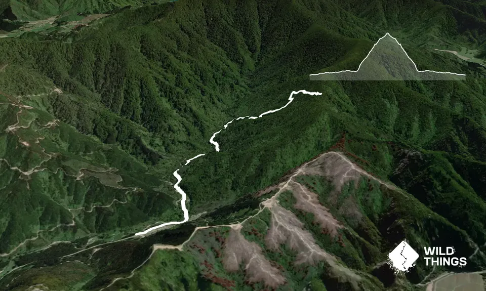
Pukaka Valley Track
Last Updated: 25th Sep 2024
Open
Grunt Factor: 16 ?
Gnarl Factor: 40 ?
9.0km
465m
465m
464m
Trail Map
This Topo layer only covers NSW/ACT.
Switch to another map layer when viewing outside this area.
Switch to another map layer when viewing outside this area.


