Last Updated: 22nd May 2025
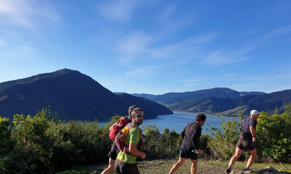
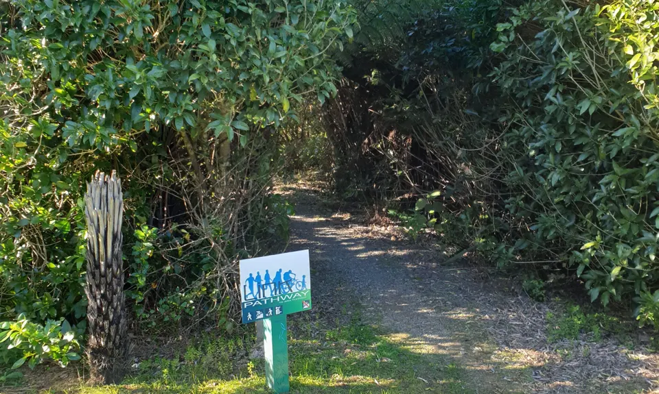
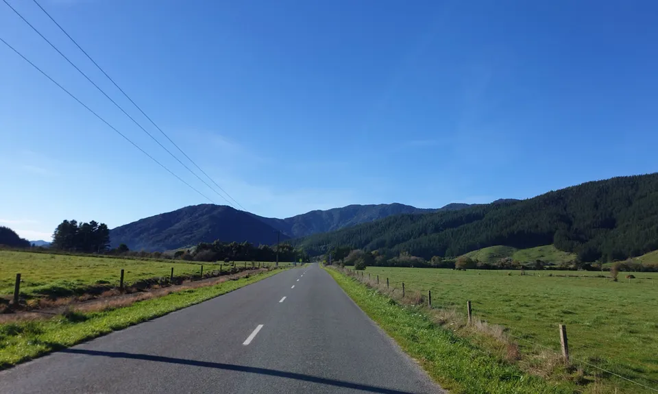
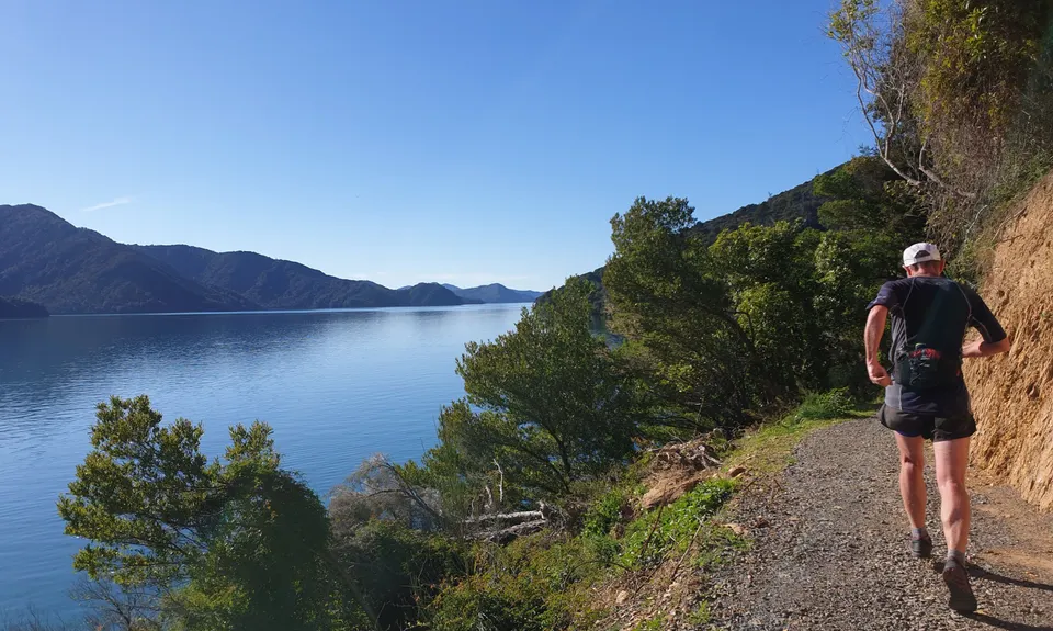
Havelock to Picton Link Pathway
Last Updated: 22nd May 2025
Open
Grunt Factor: 35 ?
Gnarl Factor: 20 ?
35.0km
750m
750m
160m
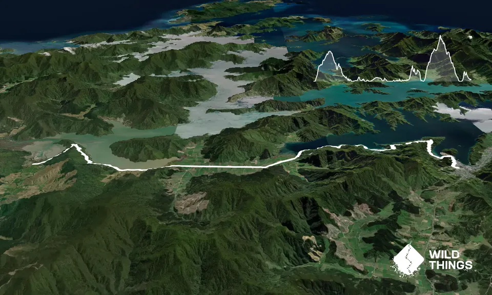
Trail Map
This Topo layer only covers NSW/ACT.
Switch to another map layer when viewing outside this area.
Switch to another map layer when viewing outside this area.


