Patriarch Road and Goulter ValleyIntermediate - Experienced
Submitted by John Scott
Back country - remote
Loop
Mountainous
Native bushPlantation/exotic forestRiversideLakeside
Intermediate - Experienced
Not Suitable (Slow)
6:00 (Moderate)
4:00 (Fast)
-11.3%
+8.7%
Fastest Known Times (FKTs)
Please set your gender to see your position on the FKT leaderboards.
Men
There are currently no male FKTs for Patriarch Road and Goulter Valley.
Women
There are currently no female FKTs for Patriarch Road and Goulter Valley.
Filter FKTs
The more , the harder the FKT will be to beat. Learn about Fastest Known Times.
Description
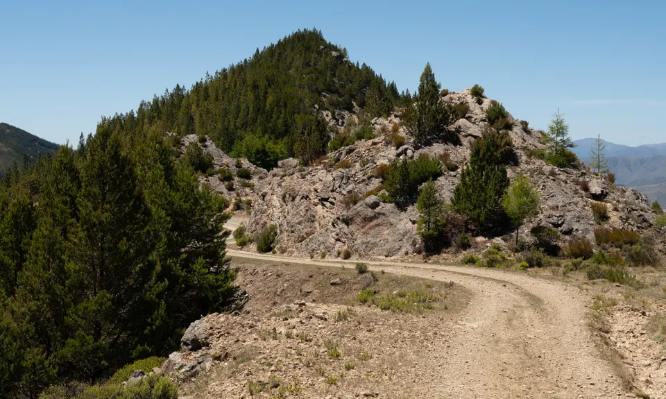
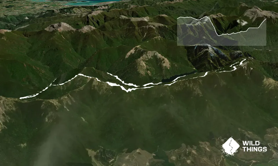
From the car park, head along the Patriarch road. This is undulating, in good condition, and very runnable. From time to time there are glimpses of Lake Chalice below which you will later return along the side of.
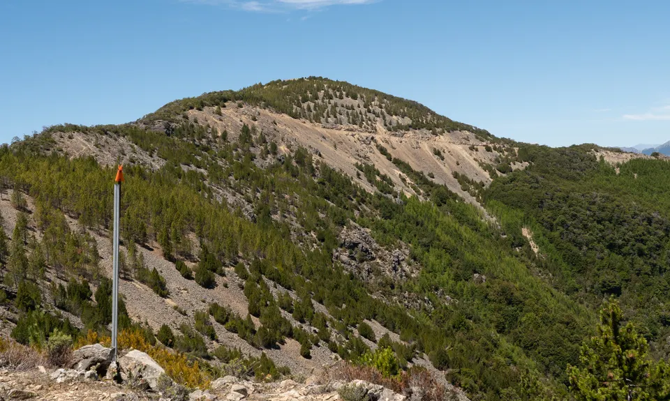
After about 6 km the road switches to the south side of the ridge, and then climbs to the high point of the loop, followed soon by the Mid Goulter Route turnoff at about 8km. Head off the road and along the route. At first you traverse about 800m across broken unstable rock to near point 1246 which has spectacular views, at least until the wilding conifers complete their conquest and it's all just pine forest.
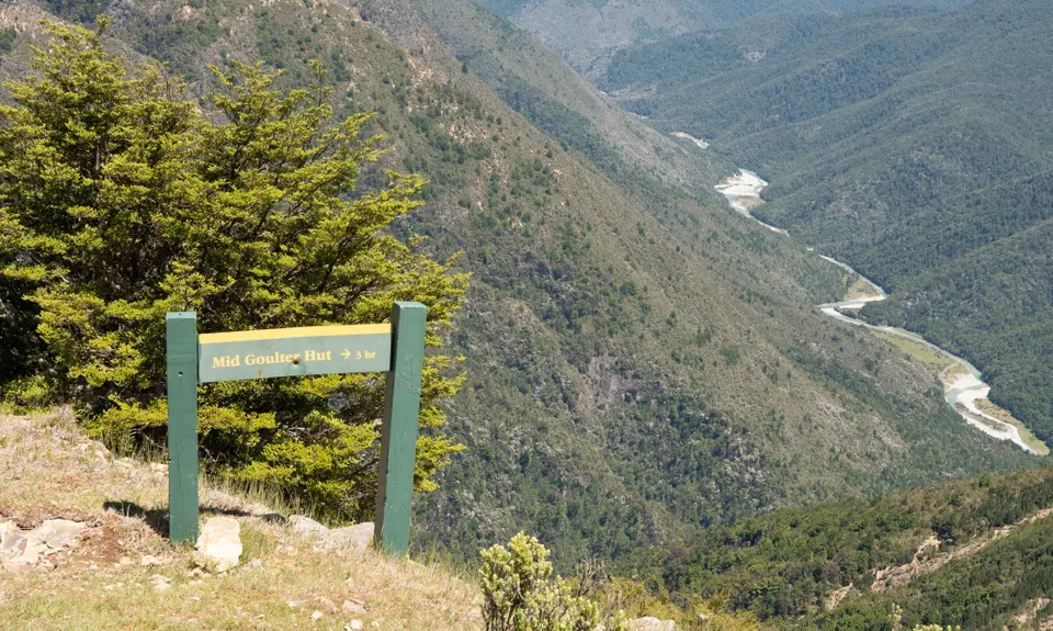
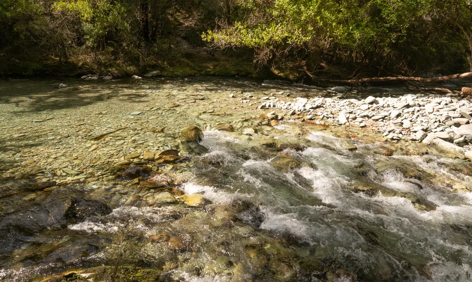
Now head down, again on broken unstable rock that only a mountain goat would enjoy. Take care. After about halfway down you're in beech forest and a more normal surface. At the bottom, detour left to a stream with drinkable water, and Mid Goulter hut is only 100m further on if you want to visit it. After having a drink, head upstream along the track which follows the Goulter river all the way to the lake.
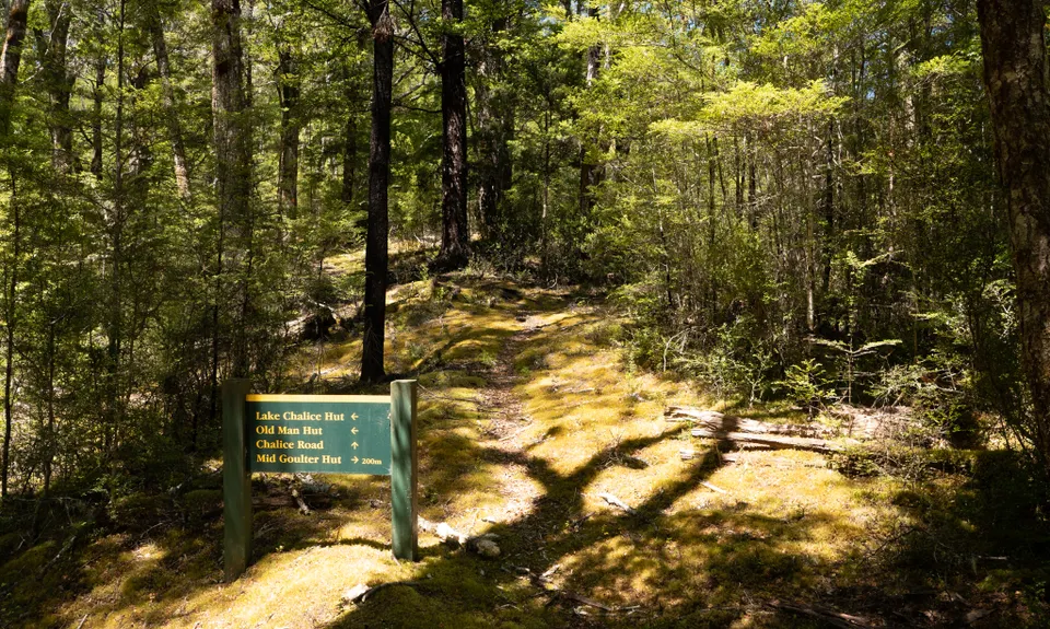
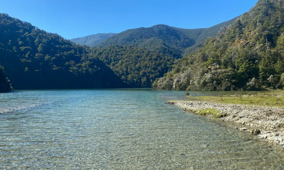
The first section of this, to the confluence with the Old Man Hut track at about the 15km mark, is moderately rough. (There is access to the river at the track junction). After the confluence it gets very rough in places with possible frequent tree falls, usually in the steepest and most awkward spots (by now the track is quite high above the river on a steep slope). Care is needed to manoeuvre around, under or over fallen obstacles! At about the 18 km mark the track comes back to river level and the going is easier. Soon you're at the foot of the enormous landslide that dammed the valley and created Lake Chalice. Climb this and you're on the excellent track running along the South side of the lake to Lake Chalice Hut. Then it's just 2 1/2 km (uphill, sadly), back to the carpark.
Trail Community
Features of interest
Lake Chalice and the Patriarch Road are worth visiting even if you don't do the whole loop.
Make Up of Run
Untracked / Route only: 10%
Technical Single Track: 40%
Easy Single Track: 20%
Farm Road / 4WD Track: 30%
Route Data
Reviews:
Overlapping Runs
The following trails overlap with this run to some degree. You may wish to combine them but please note that to qualify for FKTs on these runs you should record a separate Strava activity for each

A Full Chalice
Length: 11.60km
Photos:
Your Trail Wishlist
All the runs that are on your To Do list (no limit).
Add to wishlist view wishlistWild Explorers
I did it!-
Access
Lake Chalice Car Park
Drive along Northbank road which heads off SH6 just out of Renwick. It's 32 km to Top Valley Rd, a further 6 km to Staircase Road, and then 14 long and winding km up to the Lake Chalice Car Park. This is accessible by 2WD in good conditions. In less good conditions you may wish to park at the Enchanted Lookout Car park, which avoids the last, steepest and most exposed section of road and is only 1.5km from the start. Check the road is open at the DOC website; there's also a noticeboard at the start of Northbank Road. Allow 1h 20 from Blenheim.
51 km
80 minutes
No
No
-
Staying Safe
Moderate.
Very patchy.
Long-sleeved thermal top, Windproof jacket, Personal Locator Beacon (PLB), Whistle, First aid kit, Extra food for emergencies, Cellphone, Map.
None on the ridge or Mid-Goulter route, after that you're never far from the river or lake.
The Patriarch ridge is an exposed alpine area, with wind, snow, ice etc at times. This run is recommended in good conditions only.
Note that while the lake track and ridge road see a few visitors, the central 12km of this loop are very remote and rugged and few people come here, mostly just the odd hunter and fisherperson. Tell someone where you are going and carry a PLB.
You may get a cellphone signal on the south side of the ridge near point 1328, but generally you can forget about it. -
Sponsor this trail
See other runs nearby:
Vernon Ridgeline
Wairau Lagoons Loop
Tokomaru, Mt Robertson Circuit
Wairau Lagoons Loop v2
King and Queen of the Withers
Mt Sunday - Mt Riley Loop
Mt Vernon Grand Traverse
Quest for Mt Richmond
Northbank to Nelson Traverse
Havelock to Picton Link Pathway
A Full Chalice
Dam Dam
Lagoon-a-Seeker
Pukaka Valley Track
The golden Waikakaho trail
Pelorus Loop Track
Torea Bay to Picton Loop
A taste of the Richmond Ranges TA Alpine route
Takorika Bites!