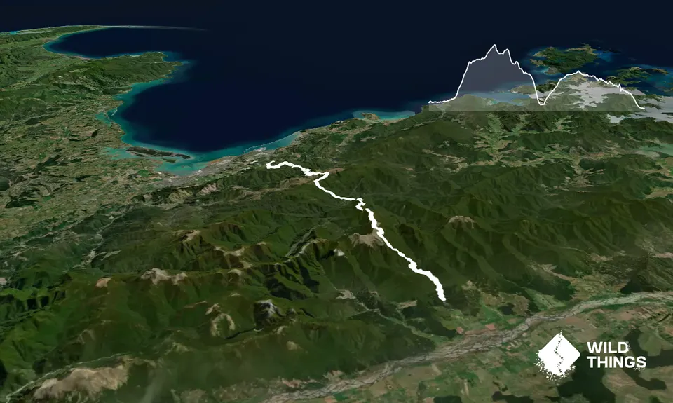
In short, Timms Creek - Mt Fell Hut - Mt Fell - Chain Ladder - Conical Knob - Middy Creek Hut - Te Araroa Trail to Rocks Hut - Dun Saddle - Coppermine Saddle - Dun Mountain Trail (Brook St/Brook Valley) to Third House Shelter - Eureka Park - Brook St - Tantragee Rd/Brook St intersection.
More detailed:
From the car park take the Timms Creek track along the side of the river. The track has plenty of tree roots and steep ups and downs including numerous stream crossings and is technical underfoot.
After 5.1km cross over the river. This is a substantial river crossing, about knee high (depending on river flow of course). Once over the river the ascent starts. Climb out of the river onto a spur and up a prominent ridge keeping an eye out for the orange triangles that lead the way up to Mt Fell Hut. The vertical gain is around 1000m over 5km so take your time, no need to burn yourself out. Once the hut is in view, carry on past the hut, keeping the hut on your immediate left and the track goes out the back of the hut and then around to the left to pop out of the trees and onto the tops.
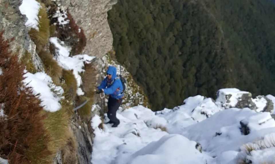
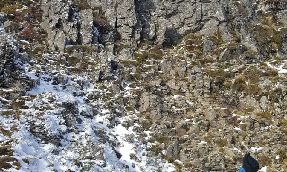
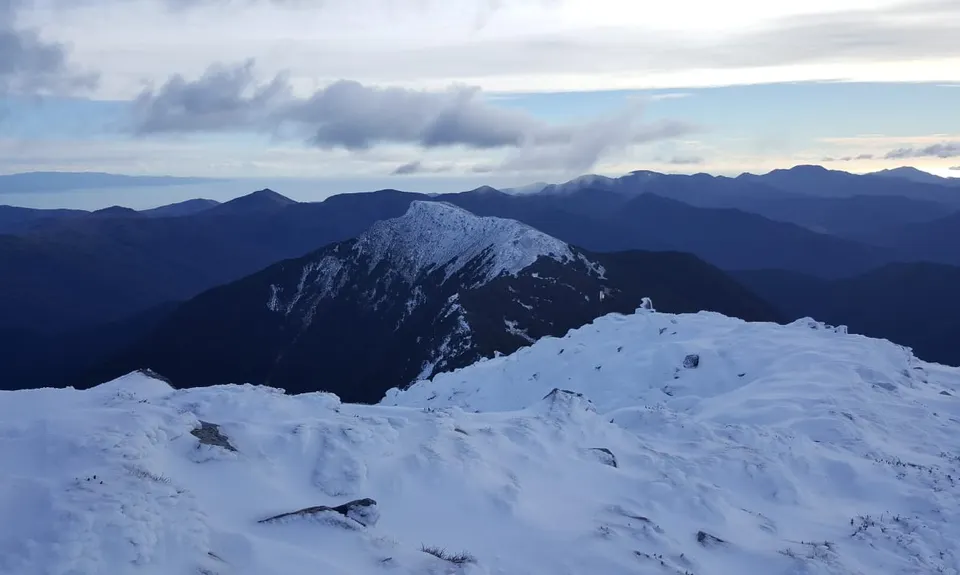
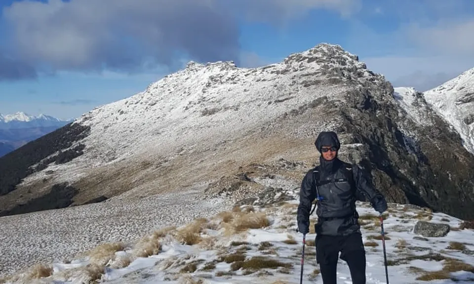
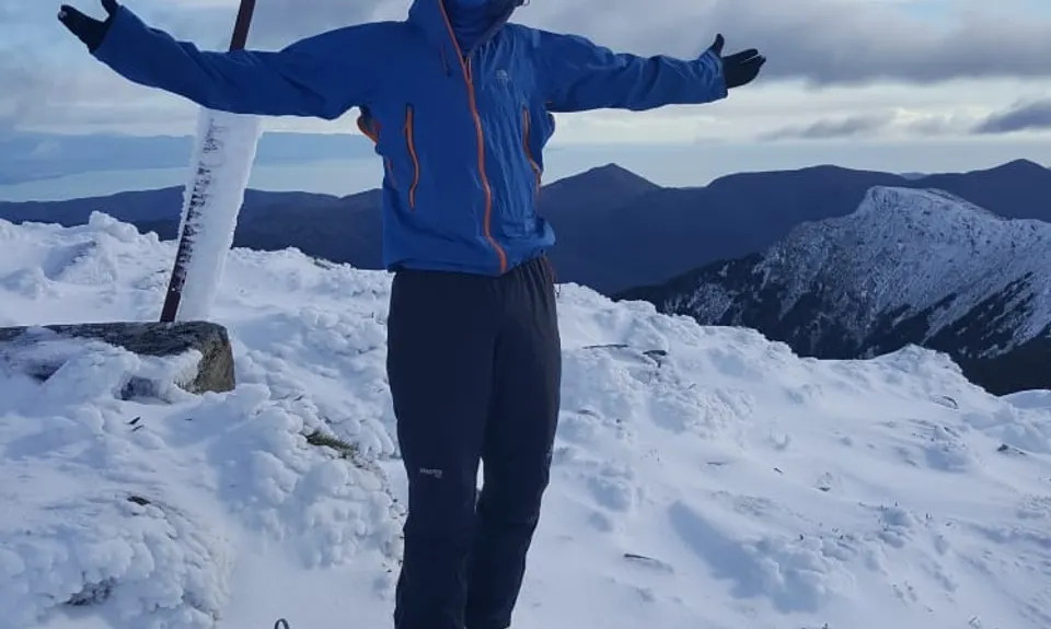
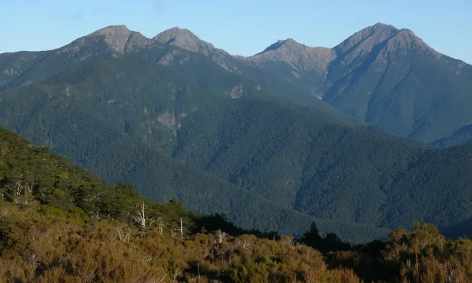
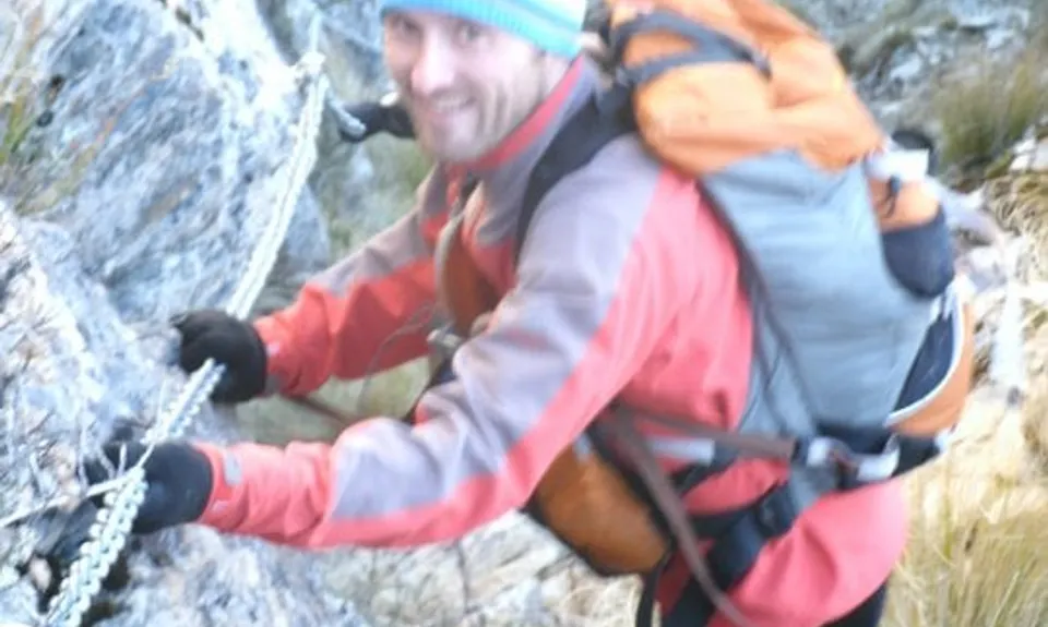
In good visibility once out of the bush cover you will be able to see Mt Fell on your right. Carry on up to the main ridge, take a right to the top of Mt Fell (the highest point on the trail). Following orange triangles, red wooden warratahs and red strips in the trees drop steeply down the technical, rocky face of Mt Fell to a saddle. Navigate along the ridgeline and climb/scramble back up following the numerous poles to the 120m "chain ladder". This can be described as a steep rocky chute with a fixed chain bolted to the cliff face to aid descent. After the steep descent (about 80m) the chain traverses around the face of a bluff (about 40m) to the bushline. There's then another small section of chain shortly after. These "chain ladders" present the most obvious dangers and risk and should not be attempted without experience and confidence especially in adverse weather. We tied one end of a 1m long sling to our wrists and the other end we clipped a caribiner to the chain to act as a backup in case of a fall/slip.
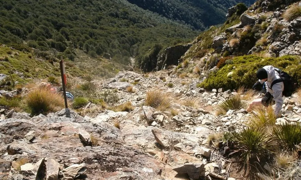
The terrain continues to be steep and technical in the bush with undulations and lots of forest debris along the prominent ridge before it drops steeply to Middy Hut. From here the track is like a highway in comparison to the last 20-odd kms. Follow the Te Araroa Trail to Rocks Hut (about 5km) - an 800m climb - and then continue to Dun Saddle (signed Brook St). At Dun Saddle take the left-hand track (signed Andrews Farm) to Coppermine Saddle and then rejoice in being on a very well groomed, easy going, long descent all the way down to Third House Shelter.
At Third House, take a right and follow the easy and wide track all the way to Tantragee Rd (the end of the Dun Mountain Trail) which is easier to navigate or, as per this trail description, at the intersection of where there is a hairpin right to Fringed Hill, a straight on veer right to stay on Dun Mountain Trail or straight on veer left to descend a 4x4 track along the fence line, take the latter and follow the fence line to a large clearing. Head straight across the clearing and follow your nose through a local park heading straight and downwards. Upon exiting the trees and park, a sign shows Eureka Park and Brook St is right in front of you. Head up the road to Tantragee Rd intersection.