Last Updated: 31st Jan 2026
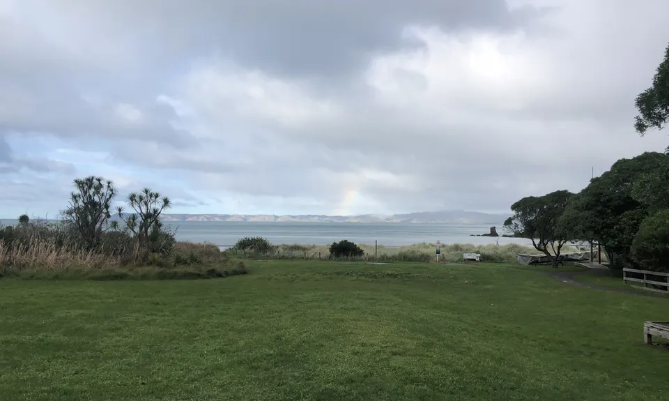
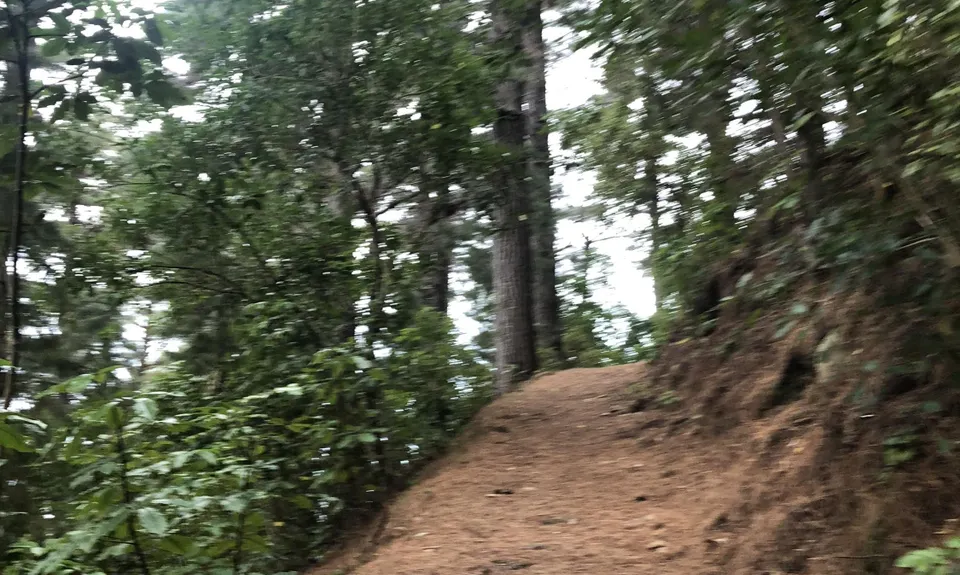
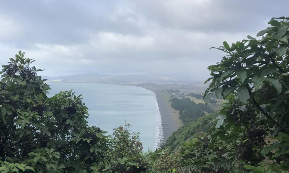
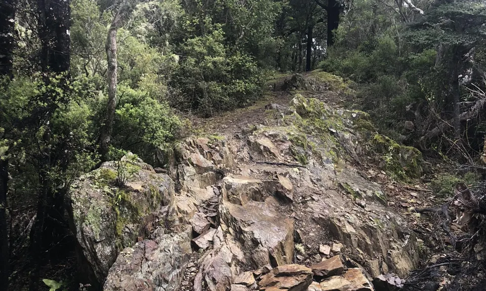
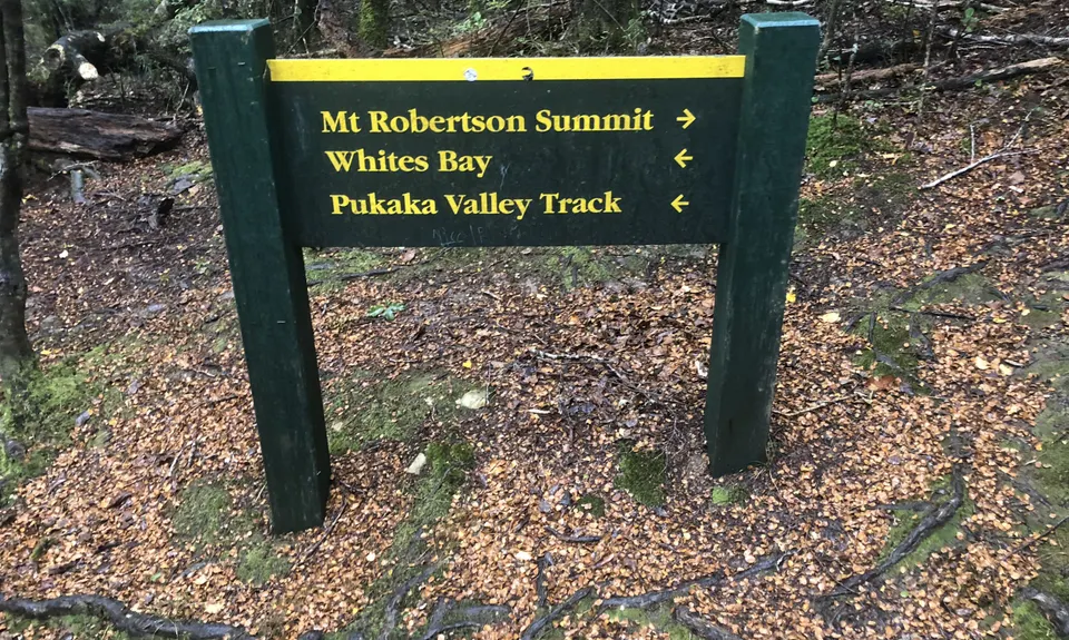
Tokomaru, Mt Robertson Circuit
Last Updated: 31st Jan 2026
Open
Grunt Factor: 33 ?
Gnarl Factor: 40 ?
18.9km
1190m
1190m
1036m


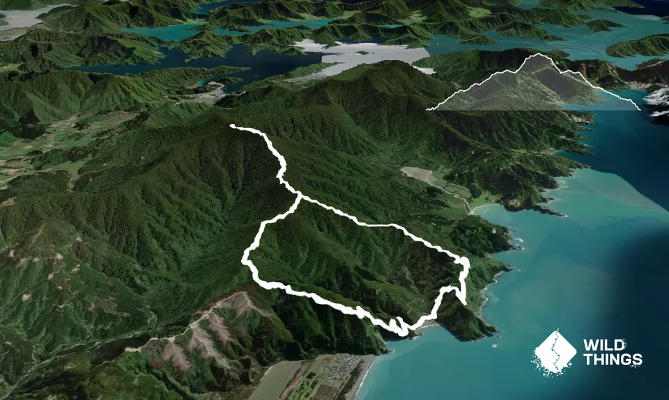
Trail Map
This Topo layer only covers NSW/ACT.
Switch to another map layer when viewing outside this area.
Switch to another map layer when viewing outside this area.


