Last Updated: 12th Jan 2024

Intermediate

Save Trail Save

I've done it Done

King and Queen of the Withers

Blenheim, Marlborough

Submitted by Philip Taylor

Last Updated: 12th Jan 2024

Intermediate

Save Trail Save

I've done it Done

Open

Grunt Factor: 13 ?

Gnarl Factor: 9 ?

10.3km

375m

375m

346m


Login as a VIP to see driving directions, distance and time.

Trail Map

Type of Run

Front country - easily accessible

Loop

Undulating, some big hills

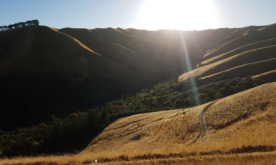
Open farmlands

Open tussock/grasslands

Open ridges/tops

Run Makeup

95%
5%

Farm Road / 4WD Track

Easy Single Track

Average Uphill Gradient: +7.9%

Average Downhill Gradient: -8.1%

Trailhead

Login as a VIP to see the trailhead information.

Estimated Times to Run

2:00

Slow

1:10

Moderate

00:40

Fast

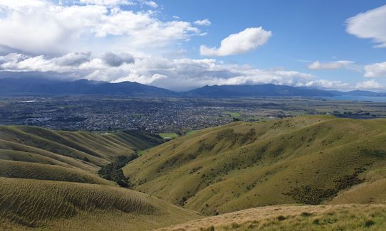
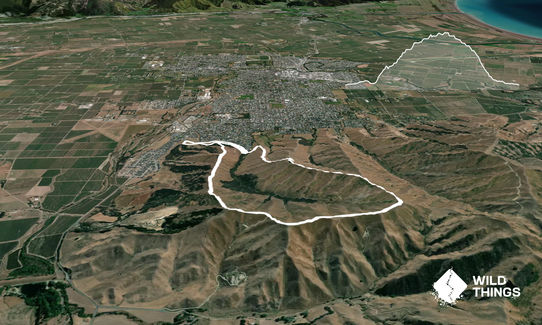
Starting out at the Rifle Range car park take the 4WD track that runs along and adjacent to the road Forest Park Drive to where it meets the bottom of the Lower Quail Stream Track (where there is a car park and a toilet) and then take the small bridge on the right over the stream and then right again to join the Forest Hills walking track. Carry on looking out for a sharp left turn (after about 1km) onto the Short Loop Track which goes straight up the hill. This is the start of the climb.

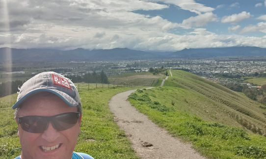
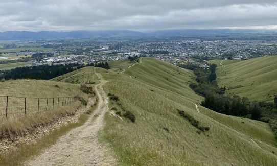
After a short while you gain the Rotary Lookout (aka 'the witches hat') and then you follow the prominent ridge onto Twin Tanks Walk past Janes Seat and onto Taylor View Track. Keep on climbing until you reach the intersection of Reservoir Ridge Track (just past the junction of Upper Quail Stream Track). Now time for the descent.

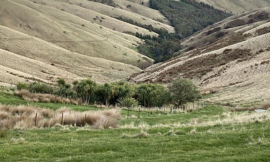
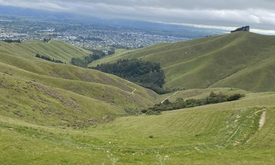
Follow this towards a copse of trees further down the ridge. As you go alongside these, and once a reservoir comes into view, look out for a sharp left to join the Upper Harling Track. Enjoy the sometimes steep descent until you meet the main farm park access track (at the top of the Lower Harling Park Track). Take a left here and down the hill until you are back at the car park at the top of Forest Park Drive (the end of the Lower Quail Stream Track). Once there, cross over the small bridge and turn right, as before, and carry on down the Forest Hills walking track but this time charge past the turn off to go back up the hill and carry on this track until the Rifle Range car park comes into view. Stay on this track until almost in line with the car park, then go through the gate, over the boardwalk bridge and to the finish.

If you know of any public toilets near the trail start or on the route, please login and then let us know so we can update this section.

5 km

8 minutes

Unknown

No

Moderate.

Generally good.

Windproof jacket, Cellphone, Map

There is availability of water at the following locations:
* Rifle Range car park.
* The Rotary Lookout.
* At the junction of the Taylor View Track and the Reservoir Ridge Track.

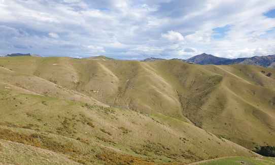
There isn't much in terms of vegetation on the route when climbing so can be exposed to wind, sun and rain.

Trail Legend

Philip Taylor

Philip Taylor

has completed King and Queen of the Withers once in the last year.

Learn about Trail Legends.

You and King and Queen of the Withers

As a VIP member you can record private notes for this trail, see all of your times and more.

Register Now

Already have an account? Login now

Trail Reviews

This is a nice loop with great views. Take care during summer as the fire risk is pretty high. There is water at the lookout and also at the very top of the run.

Ian Buunk

January 18, 2018

Login to submit a review

Trail Running Community

Find people who are interested in or have completed this trail run.

You must register or login to view this feature.

Register Now

Overlapping Trails

These overlap with this trail to some degree. You may wish to combine them but please note that to qualify for FKTs on these runs you should record a separate activity for each.

Vernon Ridgeline

Vernon Ridgeline

Length: 16.0km

Level: Beginner - Intermediate

Mt Vernon Grand Traverse

Mt Vernon Grand Traverse

Length: 18.1km

Level: Beginner - Intermediate

Other trails nearby
A Full Chalice

A Full Chalice

Length: 11.6km

Level: Beginner - Intermediate

Northbank to Nelson Traverse

Northbank to Nelson Traverse

Length: 45.5km

Level: Experienced

Takorika Bites!

Takorika Bites!

Length: 8.5km

Level: Beginner - Intermediate

Torea Bay to Picton Loop

Torea Bay to Picton Loop

Length: 45.1km

Level: Intermediate - Experienced

Find more trails and peaks nearby