Last Updated: 3rd Aug 2024
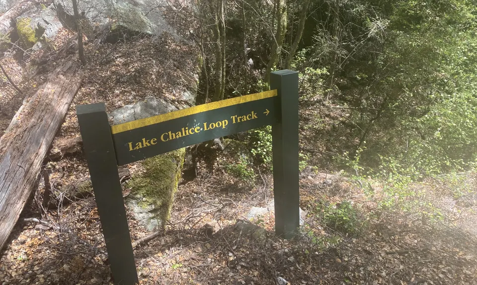
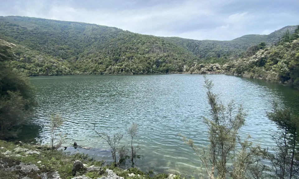
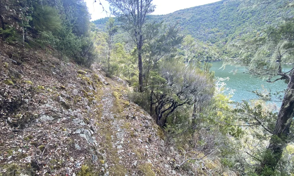
A Full Chalice
Last Updated: 3rd Aug 2024
Open
Grunt Factor: 28 ?
Gnarl Factor: 41 ?
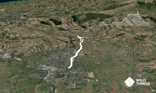
11.6km
590m
590m
1166m

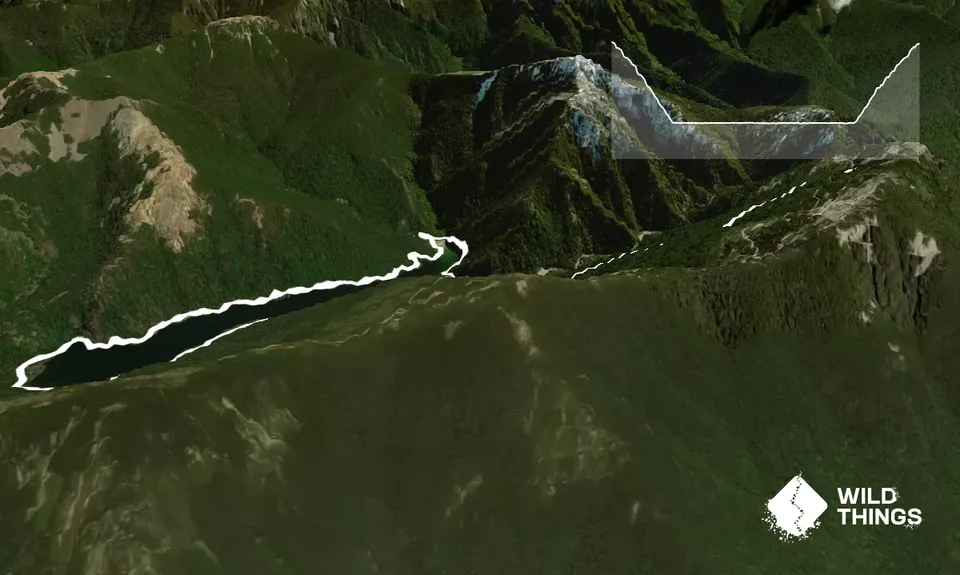
Trail Map
This Topo layer only covers NSW/ACT.
Switch to another map layer when viewing outside this area.
Switch to another map layer when viewing outside this area.