Last Updated: 23rd Nov 2024
Mt. Taylor Dual
Last Updated: 23rd Nov 2024
Open
Grunt Factor: 63 ?
Gnarl Factor: 69 ?
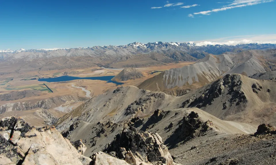
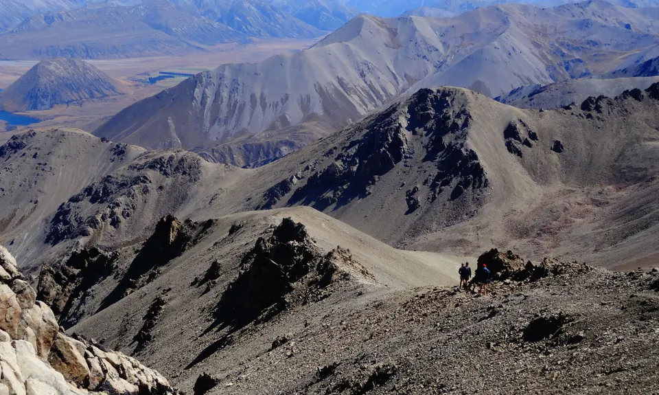
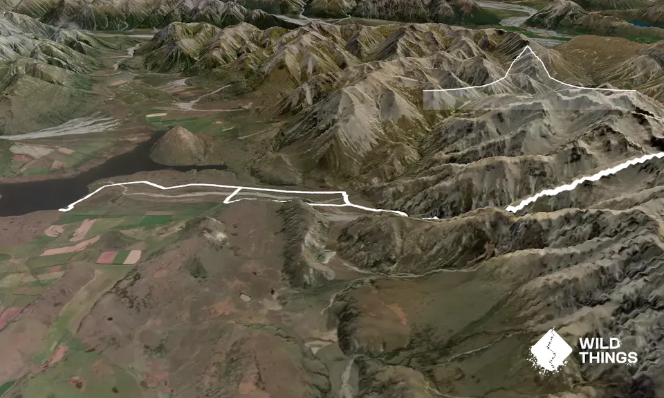
31.0km
1700m
1700m
2333m
Trail Map
This Topo layer only covers NSW/ACT.
Switch to another map layer when viewing outside this area.
Switch to another map layer when viewing outside this area.


