Last Updated: 23rd Sep 2024
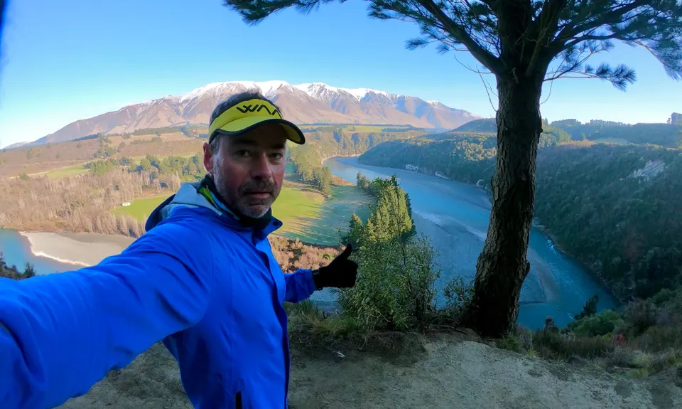
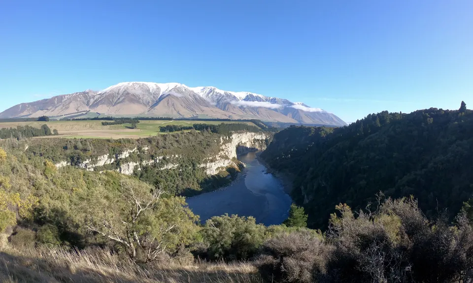
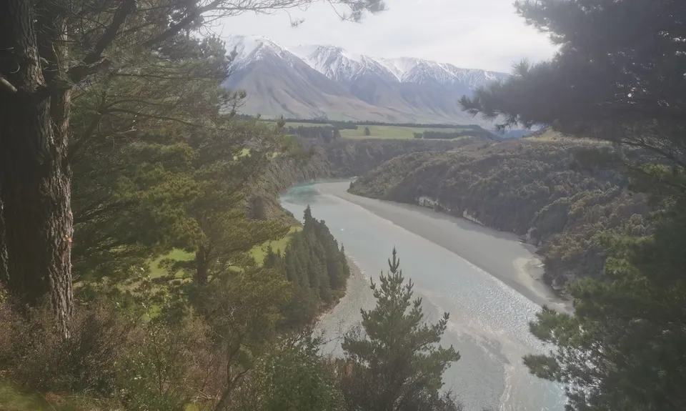
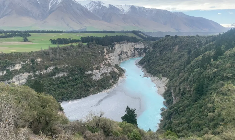
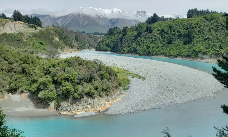
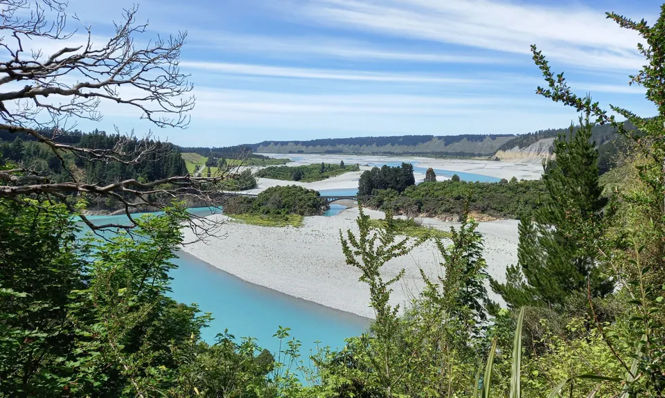
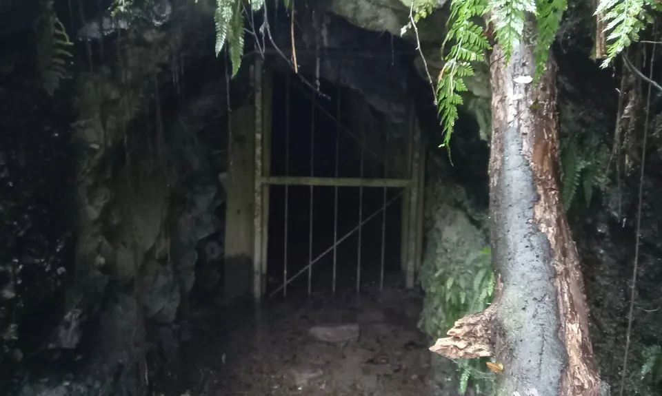
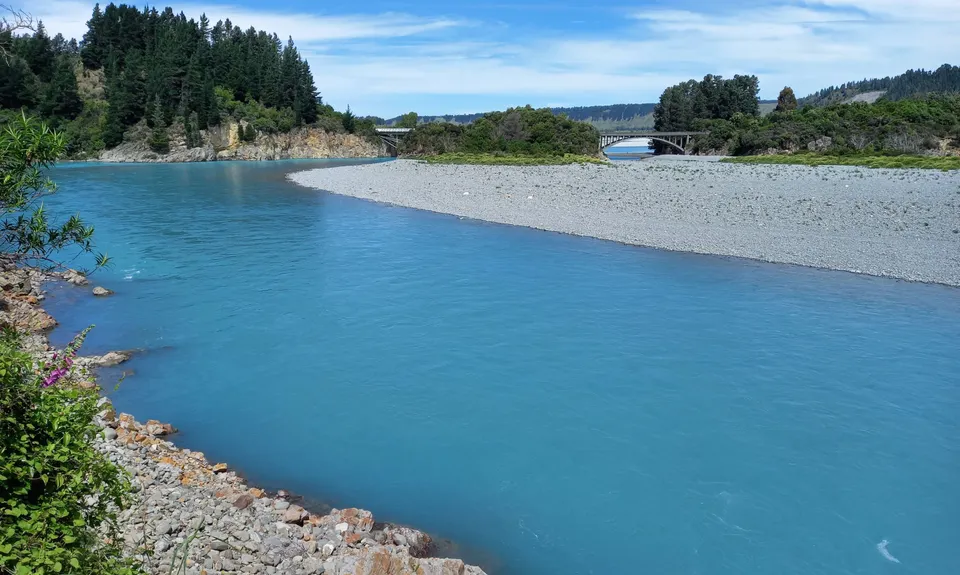
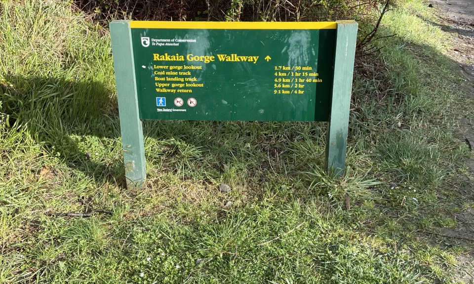
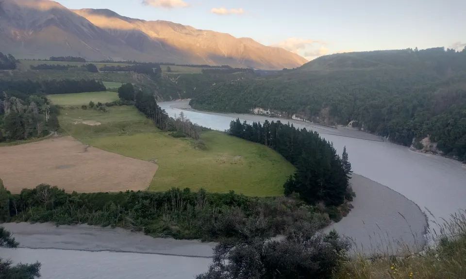
Rakaia Rush
Last Updated: 23rd Sep 2024
Grunt Factor: 17 ?
Gnarl Factor: 30 ?
10.0km
570m
570m
346m

.jpg)
.jpg)

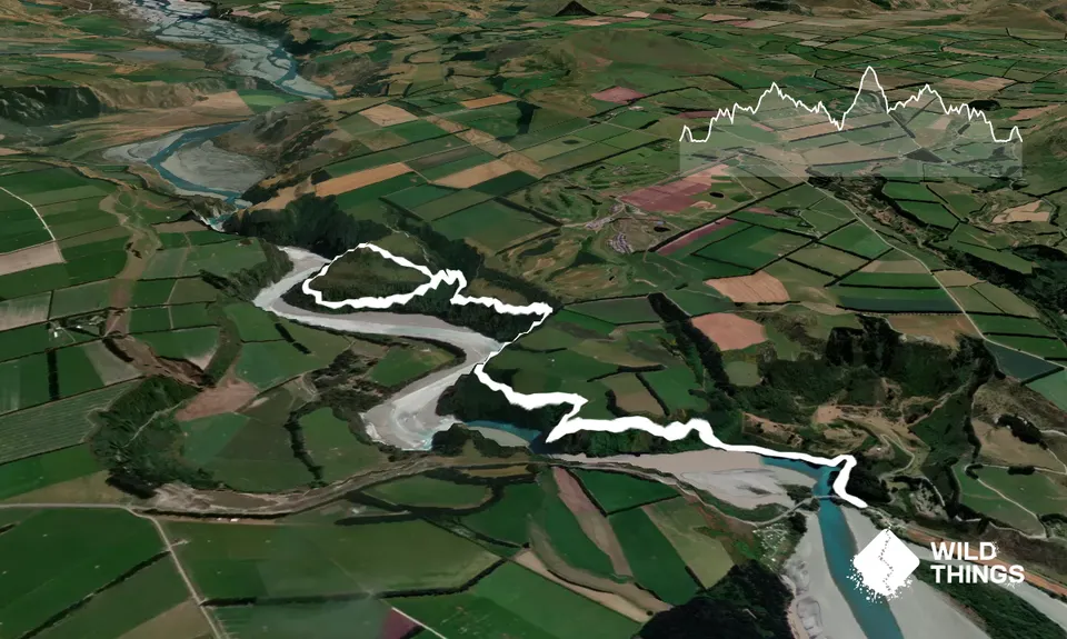
Trail Map
This Topo layer only covers NSW/ACT.
Switch to another map layer when viewing outside this area.
Switch to another map layer when viewing outside this area.


